Strong Defense
Star Spangled Banner National Historic Trail-War of 1812
| — | Fort Hollingsworth-Elk Landing | — |
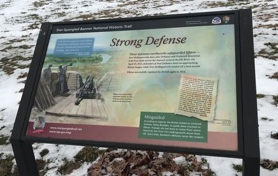
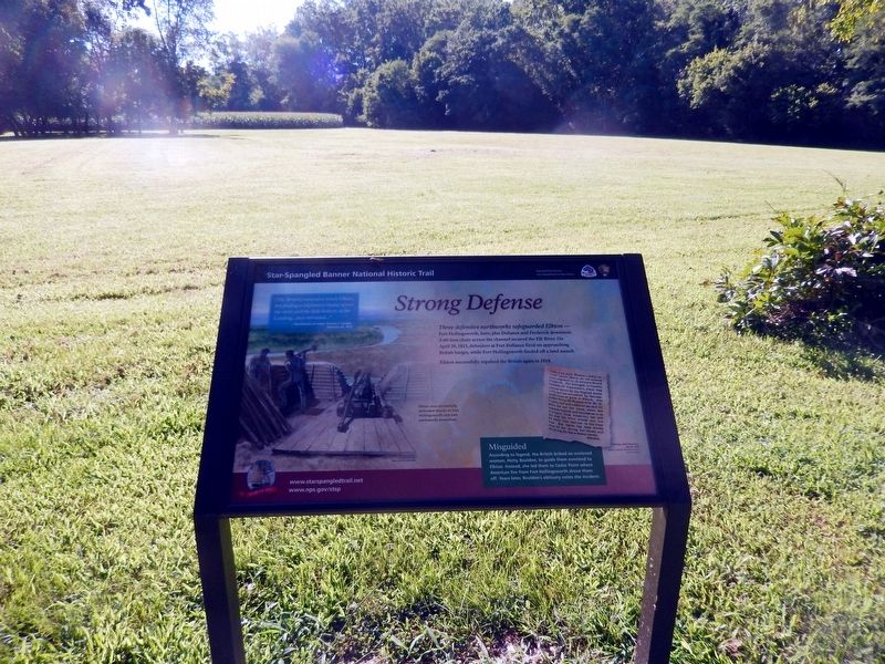
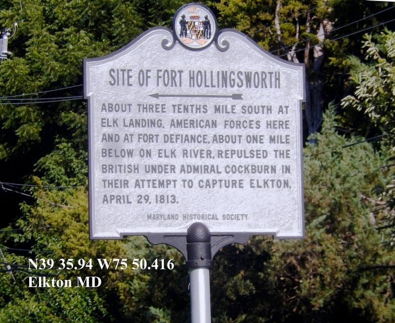
Three defensive earthworks safeguarded Elkton---Fort Hollingsworth, here, plus Defiance and Frederick downriver. A 60-foot chain across the channel secured the Elk River. On April 29, 1813, defenders at Fort Defiance fired on approaching British barges, while Fort Hollingsworth fended off a land assault.
Elkton successfully repulsed the British again in 1814.
“(The British) essayed to reach Elkton, but finding a (defensive chain) across the river and the little battery at the Landing…they retreated…”
Recollection of Judge Thomas J. Sample, February 24, 1872
(Inscription beside the image in the bottom left)
Elkton was successfully defended thanks to Fort Hollingsworth and two earthworks downriver.
Misguided
According to legend, the British bribed an enslaved woman, Hetty Boulden, to guide them overland to Elkton. Instead, she led them to Cedar Point where American fire from Fort Hollingsworth drove them off. Years later, Boulden’s obituary notes the incident.
Death of an Aged Woman--Died, on the 22nd instant, Hetty, an old colored woman, supposed to be between 90 and 100 years old. She belonged
this page online
SHIELD.
Obituary, Cecil Democrat
Image / Courtesy Historical Society
of Cecil County
Erected by National Park Service, U.S. Department of the Interior.
Topics and series. This historical marker is listed in these topic lists: Forts and Castles • War of 1812. In addition, it is included in the Star-Spangled Banner National Historic Trail series list.
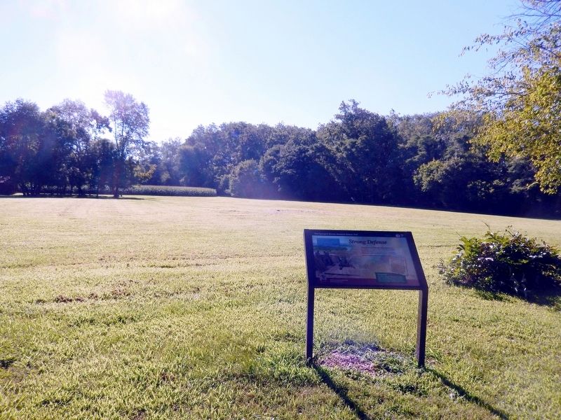
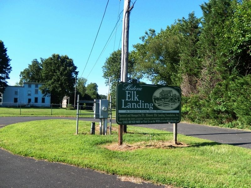
Location. 39° 35.764′ N, 75° 50.419′ W. Marker is in Elkton, Maryland, in Cecil County. It is on Landing Lane. The marker is on the lawn of the Elk Landing property between the Hollingsworth

Regionally, this marker is in Greater Wilmington, on the Eastern Shore, and in Greater Philadelphia. It is also in the American Mid-Atlantic, on the Delmarva Peninsula, in the Tidewater, in the Chesapeake Bay Region, and on the Eastern Seaboard. Globally, it is in the North Atlantic Region, North America, the Western Hemisphere, the Western World, and the Anglosphere. Historically, it finds itself in what was once one of the original Thirteen Colonies and also the Antebellum South.
Other nearby markers. At least 8 other markers are within walking distance of this marker: Revolutionary War (a few steps from this marker); Stone House (within shouting distance of this marker); Native Americans in the 1600's (within shouting distance of this marker); Hollingsworth House (within shouting distance of this marker); Henry Deibert and E. Deibert Bros. Barge Building (within shouting distance of
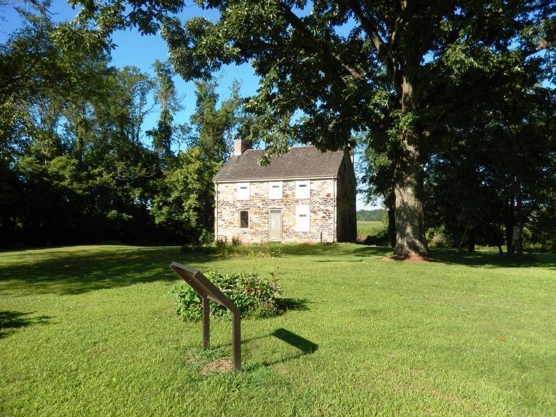
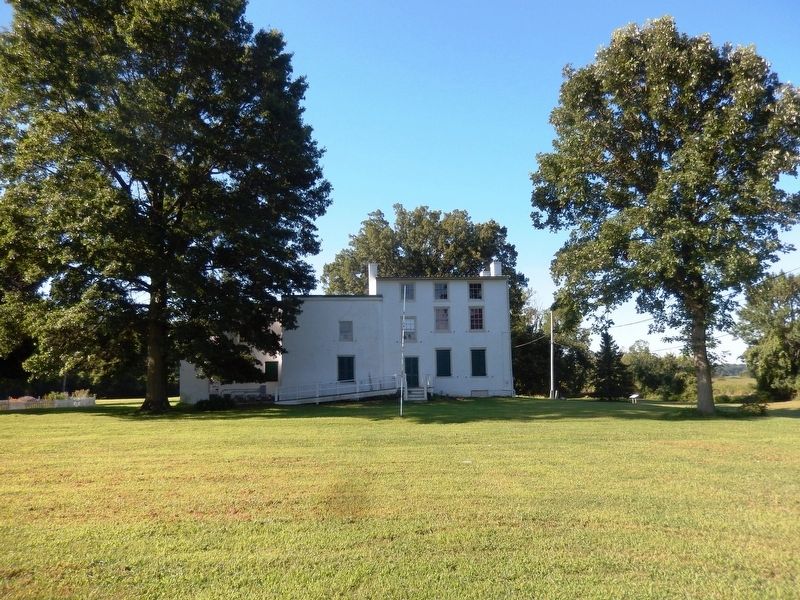
Another marker is no longer nearby. Hollingsworth House (was about 300 feet away, measured in a direct line but has been confirmed missing).
More about this marker. I fixed "llving" misspelling in obituary.
Credits. This page was last revised on January 6, 2022. It was originally submitted on August 8, 2016, by Don Morfe of Baltimore, Maryland. This page has been viewed 1,071 times since then and 63 times this year. Last updated on February 19, 2020, by Carl Gordon Moore Jr. of North East, Maryland. Photos: 1. submitted on January 6, 2022, by Adam Margolis of Mission Viejo, California. 2, 3, 4, 5, 6, 7. submitted on August 8, 2016, by Don Morfe of Baltimore, Maryland. • Bill Pfingsten was the editor who published this page.
