Opelousas in St. Landry Parish, Louisiana — The American South (West South Central)
Jim Bowie Oak
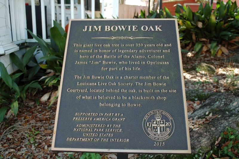
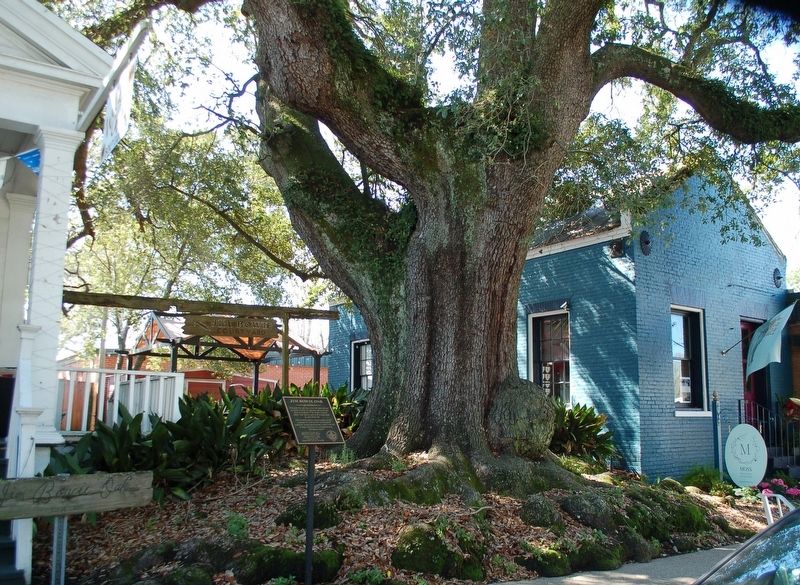
This giant live oak tree is over 350 years old and is named in honor of legendary adventurer and hero of the Battle of the Alamo, Colonel James "Jim” Bowie, who lived in Opelousas for part of his life.
The Jim Bowie Oak is a charter member of the Louisiana Live Oak Society. The Jim Bowie Courtyard, located behind the oak, is built on the site of what is believed to be a blacksmith shop belonging to Bowie.
Erected 2015 by City of Opelousas; Preserve America Grant, National Park Service, Department of the Interior.
Topics and series. This historical marker is listed in these topic lists: Horticulture & Forestry • Settlements & Settlers • War, Texas Independence. In addition, it is included in the Historic Trees series list.
Location. 30° 31.986′ N, 92° 5.036′ W. Marker is in Opelousas, Louisiana, in St. Landry Parish. Marker is on West Landry Street (U.S. 190) east of South Court Street, on the left when traveling west. Touch for map. Marker is at or near this postal address: 133 West Landry Street, Opelousas LA 70570, United States of America. Touch for directions.
Other nearby markers. At least 8 other markers are within walking distance of this marker. Opelousas (within shouting distance of this marker); a different marker also named Opelousas (within shouting distance of this marker); Let Freedom Ring (within shouting distance of this marker); Delta Theater (within shouting distance of this marker); Shute's Drug Store (about 300 feet away, measured in a direct line); Old Federal Building (about 300 feet away); Manon's Corner (about 400 feet away); Old Lacombe Hotel Site (about 400 feet away). Touch for a list and map of all markers in Opelousas.
More about this marker. U.S. Highway 190 is also known as Ronald Reagan Highway.
Credits. This page was last revised on June 12, 2020. It was originally submitted on February 21, 2020, by Cajun Scrambler of Assumption, Louisiana. This page has been viewed 615 times since then and 83 times this year. Photos: 1, 2. submitted on February 21, 2020, by Cajun Scrambler of Assumption, Louisiana.

