Eaton in Madison County, New York — The American Northeast (Mid-Atlantic)
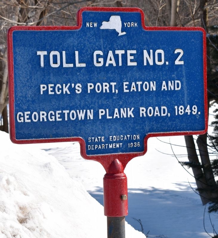
Toll Gate No. 2
Georgetown Plank Road, 1849.
Erected 1936 by State Education Department.
Topics. This historical marker is listed in these topic lists: Roads & Vehicles • Settlements & Settlers.
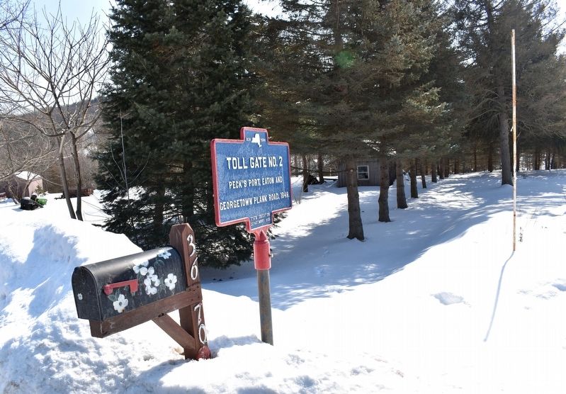
Location. 42° 51.017′ N, 75° 38.138′ W. Marker is in Eaton, New York, in Madison County. Marker is on New York State Route 26 east of Bradley Brook Road (County Route 71), on the right when traveling east. Touch for map. Marker is at or near this postal address: 3670 NY-26, Eaton NY 13334, United States of America. Touch for directions.
Other nearby markers. At least 8 other markers are within 2 miles of this marker, measured as the crow flies. Fanny Forester (approx. half a mile away); Morse Mill Dam (approx. 0.8 miles away); Morse House (approx. one mile away); West Eaton Veterans Memorial (approx. 1.1 miles away); Old Union School (approx. 1.2 miles away); Eaton Church (approx. 1.2 miles away); WTM Engine Works (approx. 1.2 miles away); Baptist Church (approx. 1.4 miles away). Touch for a list and map of all markers in Eaton.
Credits. This page was last revised on February 25, 2020. It was originally submitted on February 22, 2020, by Mollie of Syracuse, New York. This page has been viewed 218 times since then and 46 times this year. Photos: 1, 2. submitted on February 22, 2020, by Mollie of Syracuse, New York. • Michael Herrick was the editor who published this page.

