Bannack
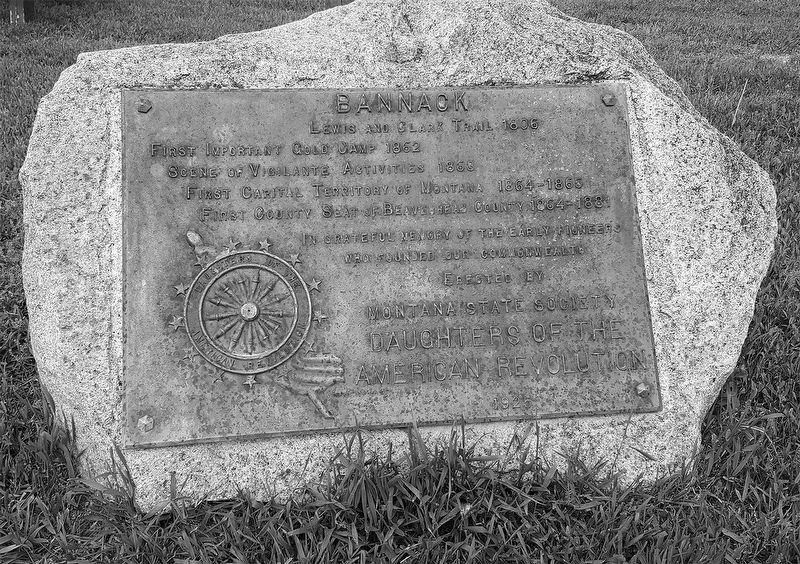
In grateful memory of the early pioneers who founded our commonwealth.
Erected by Montana State Society Daughters of the American Revolution 1925
Erected 1925 by Daughters of the American Revolution Montana State Society.
Topics and series. This historical marker is listed in these topic lists: Exploration • Industry & Commerce • Settlements & Settlers. In addition, it is included in the Daughters of the American Revolution (DAR), and the Lewis & Clark Expedition series lists. A significant day of the year for for this entry is May 31.
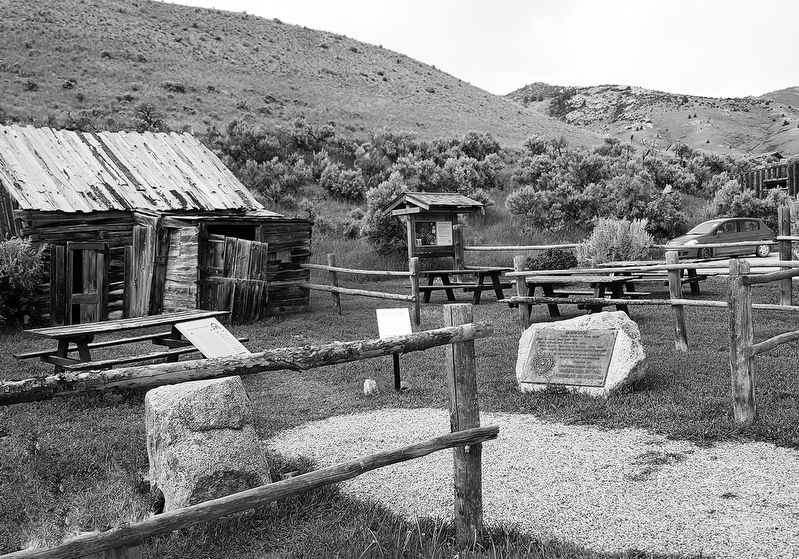
Location. 45° 9.744′ N, 112° 59.933′ W. Marker is in Dillon, Montana, in Beaverhead County. It is on MT 278 West, on the right when traveling north. Off the parking lot just west of the Visitor Center, a National Historic Landmark and Montana State Park. Touch for map. Marker is in this post office area: Dillon MT 59725, United States of America. Touch for directions.
Regionally, this marker
this page online
Other nearby markers. At least 8 other markers are within 14 miles of this marker, measured as the crow flies: Bannack Historical District (here, next to this marker); A Tribute to Sidney Edgerton (here, next to this marker); a different marker also named Bannack (within shouting distance of this marker); Nez Perce Camp (about 800 feet away, measured in a direct line); Grasshopper Creek (approx. half a mile away); The First Electric Gold Dredge (approx. half a mile away); The Way It Used To Be... Way Back (approx. 10.2 miles away); Camp Fortunate (approx. 13.2 miles away). Touch for a list and map of all markers in Dillon.
Regarding Bannack. Bannack became one of the wildest mining camps in the West in 1862, was the site of vigilante hanging of Henry
Additional keywords. gold mining
Credits. This page was last revised on February 24, 2020. It was originally submitted on February 23, 2020, by Cheryl Genovese of Bozeman, Montana. This page has been viewed 1,301 times since then and 102 times this year. Photos: 1, 2. submitted on February 23, 2020, by Cheryl Genovese of Bozeman, Montana. • Andrew Ruppenstein was the editor who published this page.
