Opelousas in St. Landry Parish, Louisiana — The American South (West South Central)
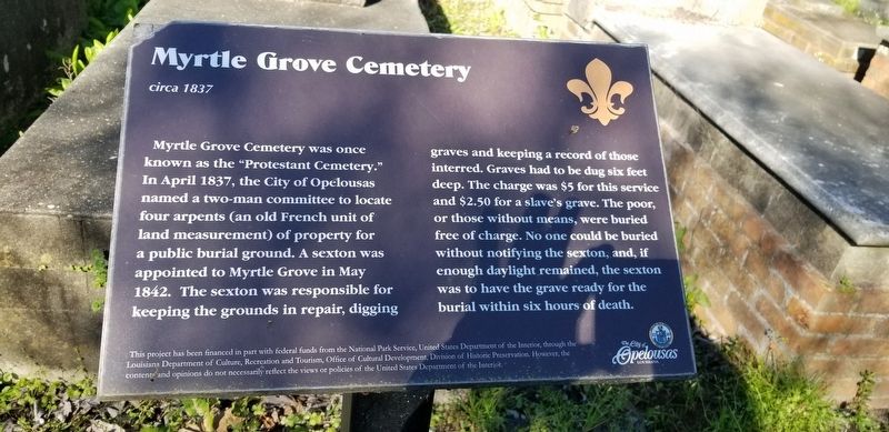
Myrtle Grove Cemetery
circa 1837
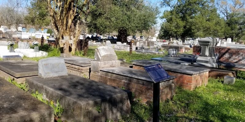
Myrtle Grove Cemetery was once known as the "Protestant Cemetery." In April 1837, the City of Opelousas named a two man-committee to locate four arpents (an old French unit of land measurement) of property for a public burial ground. A sexton was appointed to Myrtle Grove in May 1842. The sexton was responsible for keeping the grounds in repair, digging graves and keeping a record of those interred. Graves had to be dug six feet deep. The charge was $5 for this service and $2.50 for a slave's grave. The poor, free of charge. No one could be buried without notifying the sexton, and, if enough daylight remained, the sexton was to have the grave ready for the burial within six hours of death.
This project has been financed in part with federal funds from the National Park Service, United States Department of the Interior, through the
Louisiana Department of Culture, Recreation and Tourism, Office of Cultural Development, Division of Historic Preservation. However, the
contents and opinions do not necessarily reflect the views or policies of the United States Department of the Interior.
Erected by City of Opelousas.
Topics. This historical marker is listed in this topic list: Cemeteries & Burial Sites. A significant historical month for this entry is April 1837.
Location.
Other nearby markers. At least 8 other markers are within walking distance of this marker. 19th Century Outhouse, c.1890 (within shouting distance of this marker); The Opelousas Post Militia of 1779 (within shouting distance of this marker); Sugar Kettle, c. 1800 (within shouting distance of this marker); Doctor's Office (within shouting distance of this marker); Rosa B. Scott (Anderson) (within shouting distance of this marker); Preston "Sweet" Fontenot (within shouting distance of this marker); J.S. Clark High School (within shouting distance of this marker); La Chapelle House (within shouting distance of this marker). Touch for a list and map of all markers in Opelousas.
More about this marker. U.S. Highway 190 is also known locally as East Landry Street. Cemetery entrance is just after highway separates.
Credits. This page was last revised on February 23, 2020. It was originally submitted on February 23, 2020, by Cajun Scrambler of Assumption, Louisiana. This page has been viewed 363 times since then and 33 times this year. Photos: 1, 2. submitted on February 23, 2020, by Cajun Scrambler of Assumption, Louisiana.

