Doswell in Hanover County, Virginia — The American South (Mid-Atlantic)
Stalemate
May 26-27, 1864
— Blue Trail —
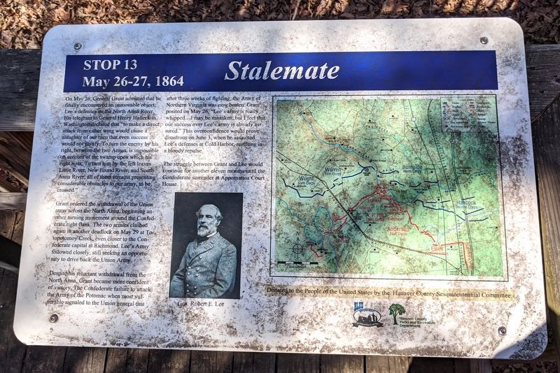
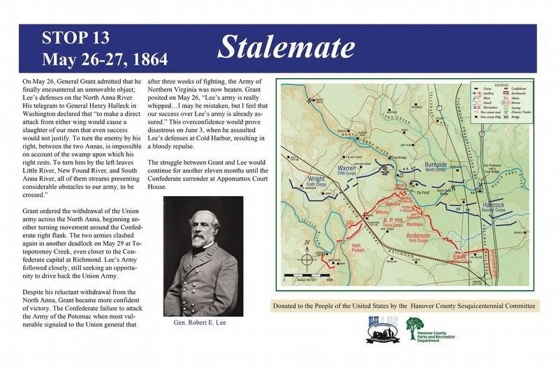
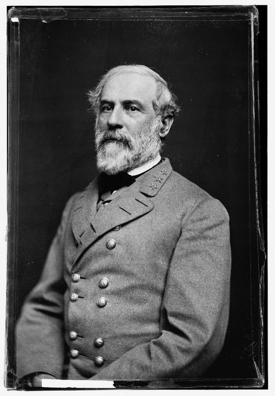
Grant ordered the withdrawal of the Union army across the North Anna, beginning another turning movement around the Confederate right flank. The two armies clashed again in another deadlock on May 29 at Totopotomoy Creek, even closer to the Confederate capital at Richmond. Lee's Army followed closely, still seeking an opportunity to drive back the Union Army.
Despite is reluctant withdrawal from the North Anna, Grant became more confident of victory. The Confederate failure to attack the Army of the Potomac when most vulnerable signaled to the Union general that after three weeks of fighting, the Army of Northern Virginia was now beaten. Grant posited on May 26, "Lee's army is really whipped...I may be mistaken, but I feel that our success over Lee's army is already assured." This overconfidence would prove disastrous on June 3, when he assaulted Lee's defenses at Cold Harbor, resulting in a bloody repulse.
The struggle between Grant and Lee would continue for another eleven months until the Confederate surrender at Appomattox Court House.
Donated to the People of the United States by the Henrico County Sesquicentennial Committee
Erected 2014 by Blue & Gray Education Society, Hanover County Parks and Recreation Department. (Marker Number Stop 13.)
Topics and series. This historical marker is listed in this topic list: War, US Civil. In addition, it is included in the Former U.S. Presidents: #18 Ulysses S. Grant series list. A significant historical date for this entry is May 26, 1864.
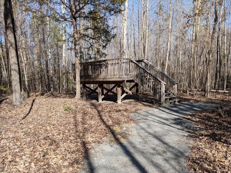
Location. 37° 53.74′ N, 77° 29.839′ W. Marker is in Doswell, Virginia, in Hanover County. Marker can be reached from Verdon Road (Virginia Route 684) 0.2 miles west of New Market Mill Road (Virginia Route 685), on the right when traveling west. Located along the "Blue Trail” in North Anna Battlefield Park. Touch for map. Marker is at or near this postal address: 11576 Verdon Rd, Doswell VA 23047, United States of America. Touch for directions.
Other nearby markers. At least 8 other markers are within walking distance of this marker. Dig and Dig Some More (here, next to this marker); Deadly Skirmishing (about 300 feet away, measured in a direct line); Griffin's Artillery (about 400 feet away); Death Under The Trees (about 400 feet away); Reinforcements Arrive (about 700 feet away); A Night of Agony (approx. ¼ mile away); Ledlie's Legacy (approx. ¼ mile away); River War (approx. ¼ mile away). Touch for a list and map of all markers in Doswell.
Related markers. Click here for a list of markers that are related to this marker. North Anna Battlefield Park "Blue Trail" Markers
Also see . . .
1. North Anna Battlefield Park. Hanover County Parks & Recreation (Submitted on February 25, 2020.)
2. The Battle of North Anna. Fredericksburg & Spotsylvania National Military Park (Submitted on February 25, 2020.)
3. North Anna. American Battlefield Trust (Submitted on February 25, 2020.)
4. North Anna Battlefield Park Sign Project. Blue & Gray Education Society (Submitted on February 26, 2020.)
Credits. This page was last revised on February 26, 2020. It was originally submitted on February 24, 2020, by Bernard Fisher of Richmond, Virginia. This page has been viewed 184 times since then and 13 times this year. Photos: 1. submitted on February 24, 2020, by Bernard Fisher of Richmond, Virginia. 2. submitted on February 26, 2020. 3, 4, 5. submitted on February 24, 2020, by Bernard Fisher of Richmond, Virginia. 6. submitted on February 25, 2020, by Bernard Fisher of Richmond, Virginia.
