Doswell in Hanover County, Virginia — The American South (Mid-Atlantic)
Grant Reacts
May 24, 1864
— Blue Trail —
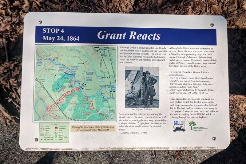
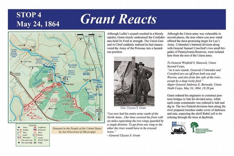
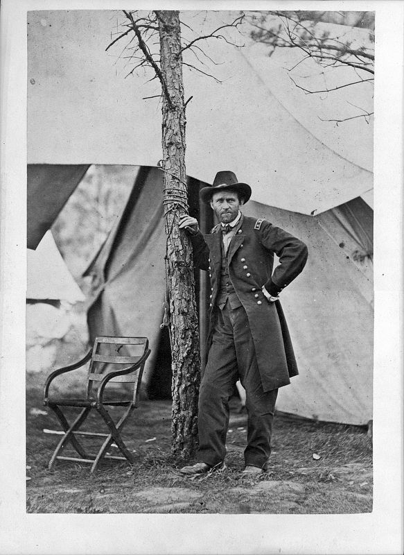
"Lee now had his entire army south of the North Anna...Our lines covered his front with six miles separating the two wings guarded by a single division. To get from one wing to the other the river would have to be crossed twice."
- General Ulysses S. Grant
Although the Union army was vulnerable in several places, the area where you now stand offered the most promising target for Lee's Army. Crittenden's battered division along with General Samuel Crawford's two small brigades of Pennsylvania Reserves, were isolated here from the rest of the Union army.
To General Winfield S. Hancock, Union Second Corps,
"As it now stands, Generals Crittenden and Crawford are cut off from both you and Warren, and also from this side of the river, except by a deep rocky ford."
Major General Ambrose E. Burnside, Union Ninth Corps, May 24, 1864, 10:20 pm
Grant ordered his engineers to construct pontoon bridges to link his divided army, while each corps commander was ordered to halt and dig in. The two Federal divisions here along the river prepared trenches under cover of darkness and rain, expecting the shrill Rebel yell to be echoing through the trees at daybreak.
Erected 2014 by Blue & Gray Education Society, Hanover County Parks and Recreation Department. (Marker Number Stop 4.)
Topics. This historical marker is listed in this topic list: War, US Civil. A significant historical date for this entry is May 24, 1864.
Location. 37° 53.27′ N, 77° 29.719′ W. Marker is in Doswell, Virginia, in Hanover County. Marker can be reached from Verdon Road (Virginia Route 684) 0.2 miles west of New Market Mill Road (Virginia Route 685), on the right when traveling west. Located along the "Blue Trail” in North Anna Battlefield Park. Touch for map. Marker is at or near this postal address: 11576 Verdon Rd, Doswell VA 23047, United States of America. Touch for directions.
Other nearby markers. At least 8 other markers are within walking distance of this marker. Like the Coming of a Cyclone (about 300 feet away, measured in a direct line); Run for Safety (about 400 feet away); Men From Massachusetts (about 500 feet away); "Save yourselves if you can" (about 600 feet away); The Inverted V (about 600 feet away); "Come on to Richmond" (about 600 feet away); The Heart of Dixie (about 700 feet away); One More River to Cross (approx. 0.2 miles away). Touch for a list and map of all markers in Doswell.
Related markers. Click here for a list of markers that are related to this marker. North Anna Battlefield Park "Blue Trail" Markers
Also see . . .
1. North Anna Battlefield Park. Hanover County Parks & Recreation (Submitted on February 25, 2020.)
2. The Battle of North Anna. Fredericksburg & Spotsylvania National Military Park (Submitted on February 25, 2020.)
3. North Anna. American Battlefield Trust (Submitted on February 25, 2020.)
4. North Anna Battlefield Park Sign Project. Blue & Gray Education Society (Submitted on February 26, 2020.)
Credits. This page was last revised on February 26, 2020. It was originally submitted on February 24, 2020, by Bernard Fisher of Richmond, Virginia. This page has been viewed 132 times since then and 10 times this year. Photos: 1. submitted on February 24, 2020, by Bernard Fisher of Richmond, Virginia. 2. submitted on February 26, 2020. 3. submitted on February 24, 2020, by Bernard Fisher of Richmond, Virginia. 4. submitted on February 25, 2020, by Bernard Fisher of Richmond, Virginia.


