Doswell in Hanover County, Virginia — The American South (Mid-Atlantic)
River War
May 24-27, 1864
— Blue Trail —
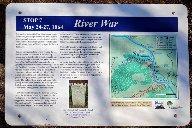
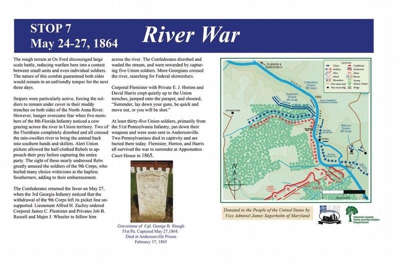
Snipers were particularly active, forcing the soldiers to remain under cover in their muddy trenches on both sides of the North Anna River. However, hunger overcame fear when five members of the 8th Florida Infantry noticed a cow grazing across the river in Union territory. Two of the Floridians completely disrobed and all crossed the rain-swollen river to bring the animal back into southern hands and skillets. Alert Union pickets allowed the half-clothed Rebels to approach their prey before capturing the entire party. The sight of these nearly undressed Rebs greatly amused the soldiers of the 9th Corps, who hurled many choice witticisms at the hapless Southerners, adding to their embarrassment.
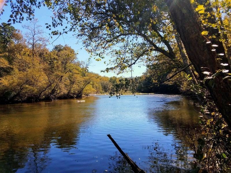
The Confederates returned the favor on May 27, when the 3rd Georgia Infantry noticed that the withdrawal of the 9th Corps left its picket line unsupported. Lieutenant Alfred H. Zachry ordered Corporal James C. Flemister and Privates Job B. Russell and Major J. Wheeler to follow him across the river. The Confederates disrobed and waded the stream, and were rewarded by capturing five Union soldiers. More Georgians crossed the river, searching for Federal skirmishers.
Corporal Flemister with Private E. J. Horton and David Harris crept quietly up to the Union trenches, jumped onto the parapet, and shouted, "Surrender, lay down your guns, be quick and move out, or you will be shot."
At least thirty-five Union soldiers, primarily from the 51st Pennsylvania Infantry, put down their weapons and were soon sent to Andersonville. Two Pennsylvanians died in captivity and are buried there today. Flemister, Horton, and Harris all survived the war to surrender at Appomattox Court House in 1865.
(caption)
Gravestone of Cpl. George B. Slough 51st Pa. Captured May 27, 1864. Died at Andersonville Prison February 17, 1865
Donated to the People of the United States by Vice Admiral James Sagerholm of Maryland
Erected 2014 by Blue & Gray Education Society, Hanover County Parks and Recreation Department. (Marker Number Stop 7.)
Topics. This historical marker is listed in this topic list: War, US Civil. A significant historical date for this entry is May 24, 1864.
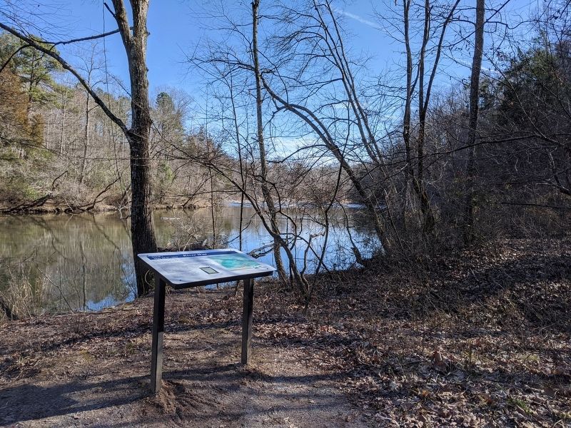
Location. 37° 53.596′ N, 77° 29.617′ W. Marker is in Doswell, Virginia, in Hanover County. Marker can be reached from Verdon Road (Virginia Route 684) 0.2 miles west of New Market Mill Road (Virginia Route 685), on the right when traveling west. Located along the "Blue Trail” in North Anna Battlefield Park. Touch for map. Marker is at or near this postal address: 11576 Verdon Rd, Doswell VA 23047, United States of America. Touch for directions.
Other nearby markers. At least 8 other markers are within walking distance of this marker. Ledlie's Legacy (within shouting distance of this marker); A Night of Agony (about 300 feet away, measured in a direct line); Reinforcements Arrive (about 700 feet away); Death Under The Trees (approx. 0.2 miles away); Deadly Skirmishing (approx. ¼ mile away); Dig and Dig Some More (approx. ¼ mile away); Stalemate (approx. ¼ mile away); Griffin's Artillery (approx. 0.3 miles away). Touch for a list and map of all markers in Doswell.
Related markers. Click here for a list of markers that are related to this marker. North Anna Battlefield Park "Blue Trail" Markers
Also see . . .
1. North Anna Battlefield Park. Hanover County Parks & Recreation (Submitted on February 25, 2020.)
2. The Battle of North Anna. Fredericksburg & Spotsylvania National Military Park (Submitted on February 25, 2020.)
3. North Anna. American Battlefield Trust (Submitted on February 25, 2020.)
4. North Anna Battlefield Park Sign Project. Blue & Gray Education Society (Submitted on February 26, 2020.)
Credits. This page was last revised on February 5, 2021. It was originally submitted on February 24, 2020, by Bernard Fisher of Richmond, Virginia. This page has been viewed 165 times since then and 15 times this year. Photos: 1. submitted on February 24, 2020, by Bernard Fisher of Richmond, Virginia. 2. submitted on February 26, 2020. 3. submitted on February 24, 2020, by Bernard Fisher of Richmond, Virginia. 4. submitted on February 4, 2021, by Bradley Owen of Morgantown, West Virginia.


