Paintsville in Johnson County, Kentucky — The American South (East South Central)
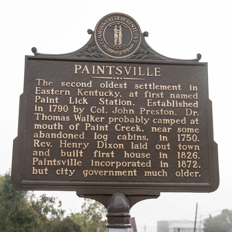
Paintsville
Erected 1968 by Kentucky Historical Society / Kentucky Department of Highways. (Marker Number 1126.)
Topics and series. This historical marker is listed in these topic lists: Political Subdivisions • Settlements & Settlers. In addition, it is included in the Kentucky Historical Society series list. A significant historical year for this entry is 1790.
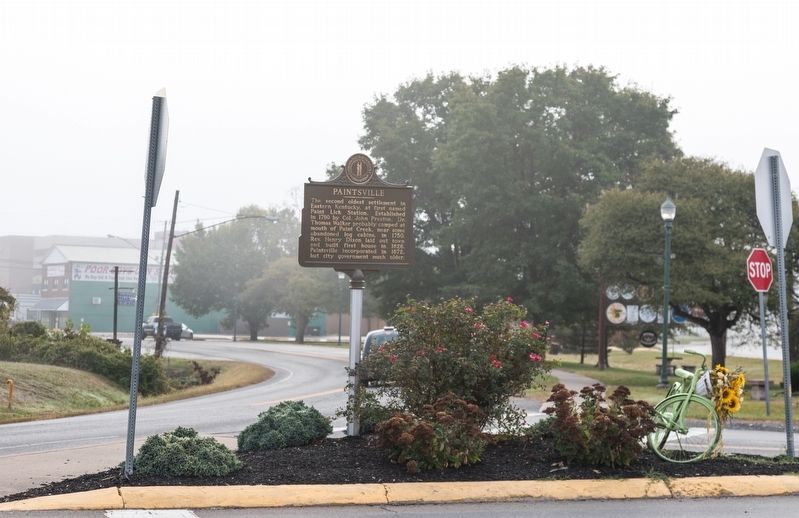
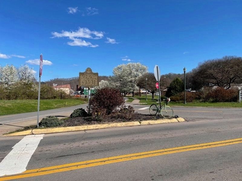
Location. 37° 48.671′ N, 82° 48.313′ W. Marker is in Paintsville, Kentucky, in Johnson County. Marker is at the intersection of Broadway Street (Kentucky Route 40) and South Mayo Trail (Kentucky Route 321), in the median on Broadway Street. The intersection is Broadway Street and a very short connector road between Broadway Street and Mayo Trail. Touch for map. Marker is in this post office area: Paintsville KY 41240, United States of America. Touch for directions.
Other nearby markers. At least 8 other markers are within 9 miles of this marker, measured as the crow flies. County Named, 1843 (approx. ¼ mile away); War on the Big Sandy (approx. ¼ mile away); Morgan’s Last Raid (approx. ¾ mile away); The Walker Expedition (approx. ¾ mile away); Jenny (Jennie) Wiley (approx. 4.8 miles away); Harman Station (approx. 4.8 miles away); Samuel May / Samuel May House (approx. 9 miles away); The May Farm (approx. 9 miles away). Touch for a list and map of all markers in Paintsville.
Credits. This page was last revised on March 29, 2021. It was originally submitted on February 24, 2020, by J. J. Prats of Powell, Ohio. This page has been viewed 462 times since then and 32 times this year. Photos: 1, 2. submitted on February 24, 2020, by J. J. Prats of Powell, Ohio. 3. submitted on March 28, 2021, by Frank Profitt of Georgetown, Kentucky.


