Lake Havasu City in Mohave County, Arizona — The American Mountains (Southwest)
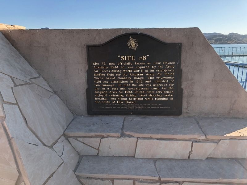
"Site #6"
Lake Havasu Auxiliary Field #6
Site #6, now officially known as Lake Havasu Auxiliary Field #6, was acquired by the Army Air Force during World War II as an emergency landing field for the Kingman Army Air Field's Yucca Aerial Gunnery Range. The emergency field was established in 1943 and consisted of two runways. In 1944 the site was improved for use as a rest and convalescent camp for the Kingman Army Air Field. United States servicemen enjoyed swimming, fishing, skeet shooting, motor boating, and hiking activities while relaxing on the banks of Lake Havasu.
(Source: BG Milton Hunter, US Army Corps of Engineers, report, 1994)
Marker Dedicated by Havasu Chapter and the Arizona Society Daughters of the American Revolution November 8 2003
Erected 2003 by Havasu Chapter and the Arizona Society Daughters of the American Revolution.
Topics and series. This historical marker is listed in these topic lists: Air & Space • War, World II. In addition, it is included in the Daughters of the American Revolution series list.
Location. 34° 27.001′ N, 114° 22.243′ W. Marker is in Lake Havasu City, Arizona, in Mohave County. Marker can be reached from Beachcomber Boulevard west of Kiva Drive, on the right when traveling west. The marker is together with the flagpole at the Site Six Launch Ramp. Touch for map. Marker is in this post office area: Lake Havasu City AZ 86403, United States of America. Touch for directions.
Other nearby markers. At least 5 other markers are within 3 miles of this marker, measured as the crow flies. London Bridge (approx. 2 miles away); Robert P. McCulloch, Sr. (approx. 2 miles away); City Founders (approx. 2.1 miles away); British – American Friendship (approx. 2.1 miles away); James A. Wheeler Park and Freedom Fountain (approx. 2.7 miles away).
Credits. This page was last revised on June 6, 2020. It was originally submitted on February 26, 2020, by Rochelle Gore of Phoenix, Arizona. This page has been viewed 541 times since then and 74 times this year. Photo 1. submitted on March 6, 2020, by Rochelle Gore of Phoenix, Arizona. • J. Makali Bruton was the editor who published this page.
Editor’s want-list for this marker. A wide view photo of the marker and the surrounding area together in context. • Can you help?
