Parker in La Paz County, Arizona — The American Mountains (Southwest)
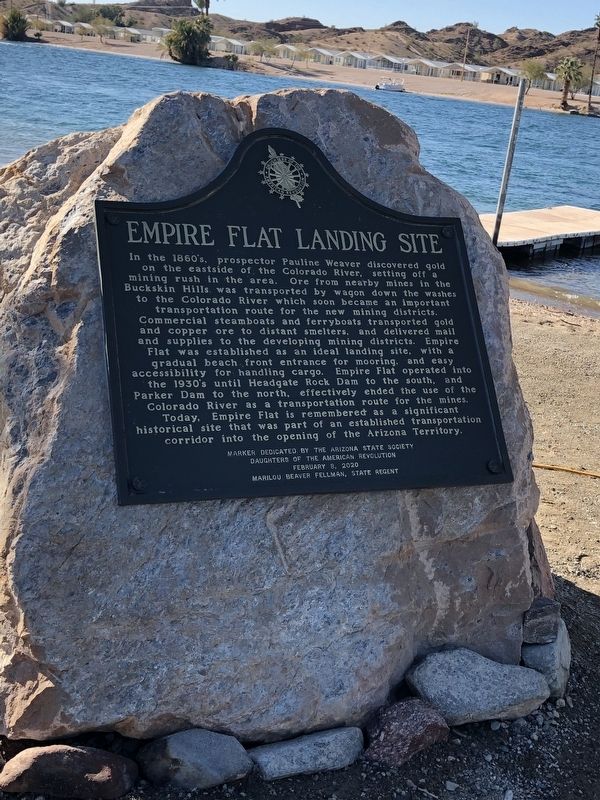
Empire Flat Landing Site
In the 1860's, Prospector Pauline Weaver discovered gold on the eastside of the Colorado River, setting off a mining rush in the area. Ore from nearby mines in the Buckskin Hills was transported by wagon down the washes to the Colorado River which soon became an important transportation route for the new mining districts. Commercial steamboats and ferryboats transported gold and copper ore to distant smelters, and delivered mail and supplies to the developing mining districts. Empire Flat was established as an ideal landing site, with and gradual beach front entrance for mooring, and easy accessibility for handling cargo. Empire Flat operated into the 1930's until Headgate Rock Dam to the south, and Parker Dam to the north, effectively ended the use of the Colorado River as a transportation route for the mines. Today, Empire Flat is remembered as a significant historical site that was part of an established transportation corridor into the opening of the Arizona Territory.
Marker Dedicated by the Arizona State Society Daughters of the American Revolution
February 8, 2020
Marilou Beaver Fellman, State Regent
Erected 2020 by Arizona State Society Daughters of the American Revolution.
Topics and series. This historical marker is listed in this topic list: Settlements & Settlers . In addition, it is included in the Daughters of the American Revolution series list.
Location. 34° 13.657′ N, 114° 11.578′ W. Marker is in Parker, Arizona, in La Paz County. Marker is at the intersection of Ramada Drive and Park Drive, on the left when traveling north on Ramada Drive. The marker is located at the La Paz County Park near the boat launch. Touch for map. Marker is in this post office area: Parker AZ 85344, United States of America. Touch for directions.
Other nearby markers. At least 1 other marker is within 8 miles of this marker, measured as the crow flies. Wyatt Earp (approx. 7.7 miles away in California).
Credits. This page was last revised on March 14, 2020. It was originally submitted on February 26, 2020, by Rochelle Gore of Phoenix, Arizona. This page has been viewed 280 times since then and 29 times this year. Photo 1. submitted on March 13, 2020, by Rochelle Gore of Phoenix, Arizona. • J. Makali Bruton was the editor who published this page.
Editor’s want-list for this marker. A wide view photo of the marker and the surrounding area together in context. • Can you help?
