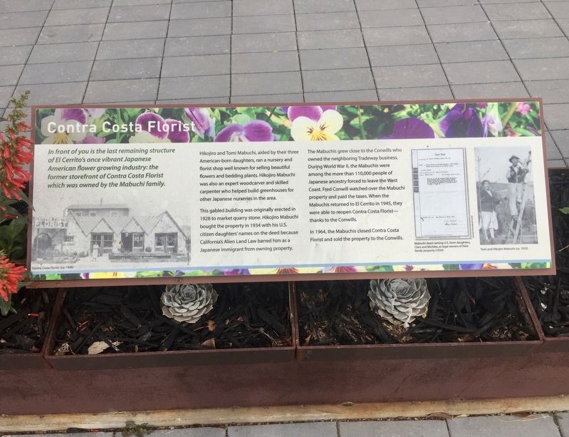
Contra Costa Florist
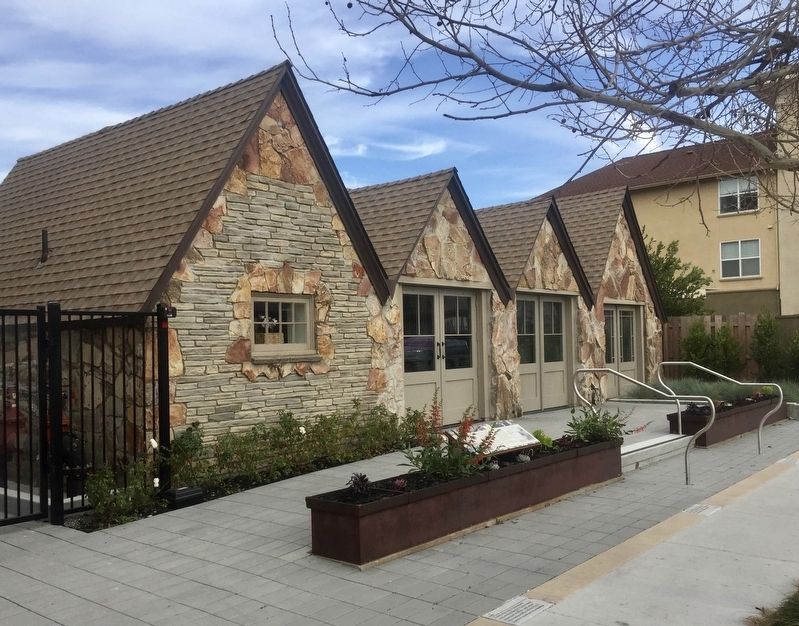
In front of you is the last remaining structure of El Cerrito's once vibrant Japanese American flower growing industry: the former storefront of Contra Costa Florist which was owned by the Mabuchi Family.
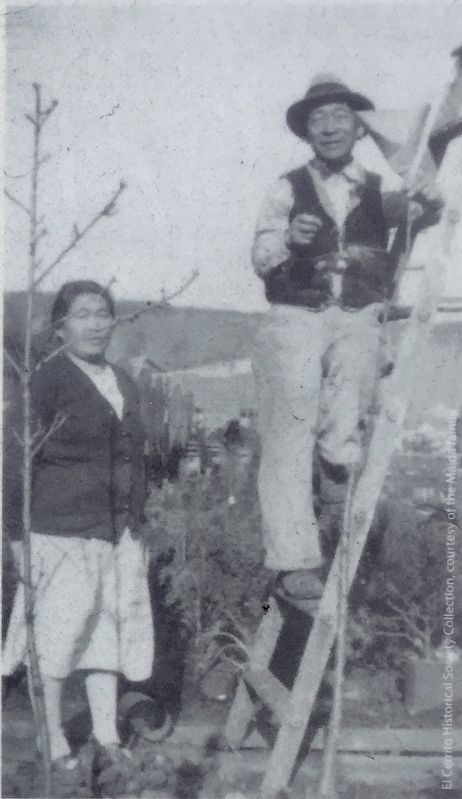
Hikojiro and Tomi Mabuchi, aided by their three American-born daughters, ran a nursery and florist shop well known for selling beautiful flowers and bedding plants. Hikojiro Mabuchi was also an expert woodcarver and skilled carpenter who helped build greenhouses for other Japanese nurseries in the area.
This gabled building was originally erected in 1928 to market quarry stone. Hikojiro Mabuchi bought the property in 1934 with his U.S. citizen daughters' names on the deed because California's Alien Land Law barred him as a Japanese immigrant from owning property.
The Mabuchis grew close to the Conwills who owned the neighboring Tradeway business. During World War II, the Mabuchis were among the more than 110,000 people of Japanese ancestry forced to leave the West Coast. Fred Conwill watched over the Mabuchi property and paid the taxes. When the Mabuchis returned to El Cerrito in 1945, they were able to reopen Contra Costa Florist - thanks to the Conwills.
In 1964, the Mabuchis closed Contra Costa
Florist and sold the property to the Conwills.
Topics. This historical marker is listed
Location. 37° 54.899′ N, 122° 18.653′ W. Marker is in El Cerrito, California, in Contra Costa County. Marker is on San Pablo Avenue south of Manila Avenue, on the right when traveling north. Touch for map. Marker is in this post office area: El Cerrito CA 94530, United States of America. Touch for directions.
Other nearby markers. At least 8 other markers are within walking distance of this marker. The Japanese in El Cerrito, a Timeline (a few steps from this marker); A Community of Flower Growers (within shouting distance of this marker); Blooming Business (within shouting distance of this marker); Forced Removal (within shouting distance of this marker); City Hall (about 400 feet away, measured in a direct line); Corridors of Change (about 400 feet away); The Industrial Core (approx. ¼ mile away); Quarries (approx. ¼ mile away). Touch for a list and map of all markers in El Cerrito.
Credits. This page was last revised on February 29, 2020. It was originally submitted on February 29, 2020, by Andrew Ruppenstein of Lamorinda, California. This page has been viewed 246 times since then and 41 times this year. Photos: 1, 2, 3. submitted on February 29, 2020, by Andrew Ruppenstein of Lamorinda, California.


