David in Floyd County, Kentucky — The American South (East South Central)
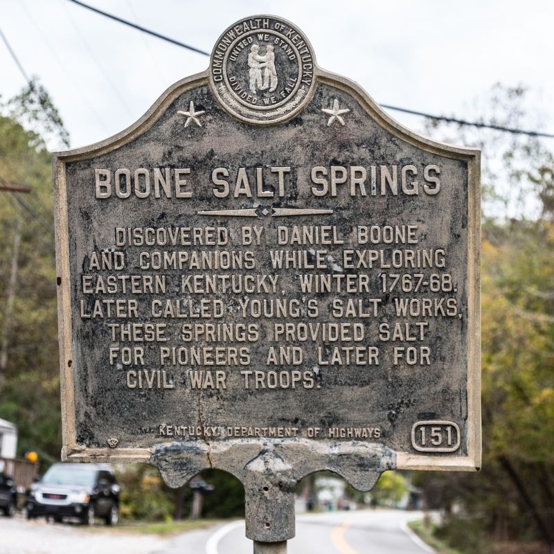
Boone Salt Springs
Erected by Kentucky Department of Highways. (Marker Number 151.)
Topics and series. This historical marker is listed in these topic lists: Natural Features • Settlements & Settlers. In addition, it is included in the Kentucky Historical Society series list.
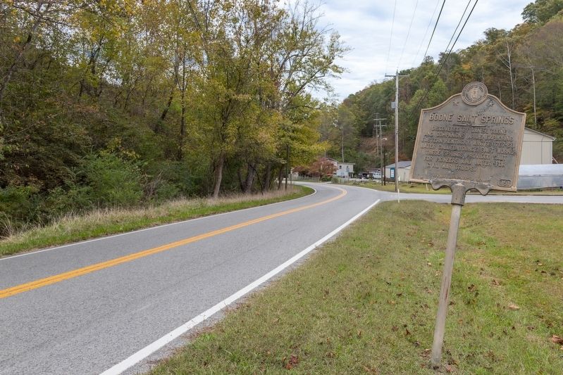
Location. 37° 35.974′ N, 82° 53.273′ W. Marker is in David, Kentucky, in Floyd County. Marker is on Kentucky Route 404, on the right when traveling east. It is 0.2 miles east of the David post office. Touch for map. Marker is in this post office area: David KY 41616, United States of America. Touch for directions.
Other nearby markers. At least 8 other markers are within 6 miles of this marker, measured as the crow flies. Daniel Boone’s Salt Lick (here, next to this marker); The Confederate Command Post (approx. 5.3 miles away); The Confederate Waiting Game (approx. 5.3 miles away); Kentuckian versus Kentuckian (I) (approx. 5.4 miles away); Kentuckian versus Kentuckian (II) (approx. 5.4 miles away); Eastern Kentucky's Civil War Battles and Skirmishes, 1861-1862 (approx. 5.4 miles away); The Middle Creek National Battlefield Foundation (approx. 5.4 miles away); Eastern Kentucky's Civil War Battles and Skirmishes, 1863-1864 (approx. 5.4 miles away).
Credits. This page was last revised on March 1, 2020. It was originally submitted on March 1, 2020, by J. J. Prats of Powell, Ohio. This page has been viewed 580 times since then and 100 times this year. Photos: 1, 2. submitted on March 1, 2020, by J. J. Prats of Powell, Ohio.

