Where the Deer and the Antelope Play
Anza Expedition of 1776
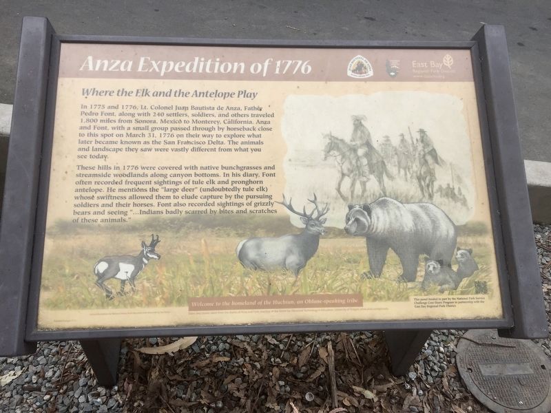
These hills in 1776 were covered with native bunchgrasses and streamside woodlands along canyon bottoms. In his diary, Font often recorded frequent sightings of tule elk and pronghorn antelope. He mentions the "large deer” (undoubtedly tule elk) whose swiftness allowed them to elude capture by the pursuing soldiers and their horses. Font also recorded sightings of grizzly bears and seeing "...Indians badly scarred by bites and scratches of these animals."
This panel funded in part by the National Park Service Challenge Cost Share Program in partnership with the East Bay Regional Park District.
Welcome to the homeland of the Huchiun, an Ohlone-speaking tribe
This panel funded in part by the National Park Service Challenge Cost Share Program in partnership with the East Bay Regional Park District.
Dates and stories taken from the diaries of Anza and Font, courtesy of the Center for Advanced Technology in Education, University of Oregon, www.anza.uoregon.edu.
Erected by East
this page online
Topics and series. This historical marker is listed in these topic lists: Environment • Exploration. In addition, it is included in the Juan Bautista de Anza National Historic Trail series list. A significant historical date for this entry is March 31, 1776.
Location. 37° 57.123′ N, 122° 19.119′ W. Marker is in Richmond, California, in Contra Costa County. It can be reached from Park Avenue. Touch for map. Marker is at or near this postal address: 5845-5967 Park Avenue, Richmond CA 94805, United States of America. Touch for directions.

Regionally, this marker is in the San Francisco Bay Area and on the Coast Ranges. It is also on the American Pacific Coast. Globally, it is in North America, on the Ring of Fire, on the Pacific Rim, in the Western Hemisphere, in the Western World, and in the Anglosphere. Historically, it finds itself in what was once New Spain and also Mexico’s Alta California.
Other nearby markers. At least 8 other markers are within walking distance of this marker: Alvarado Park (approx. 0.2 miles away); a different marker also named Alvarado Park (approx.
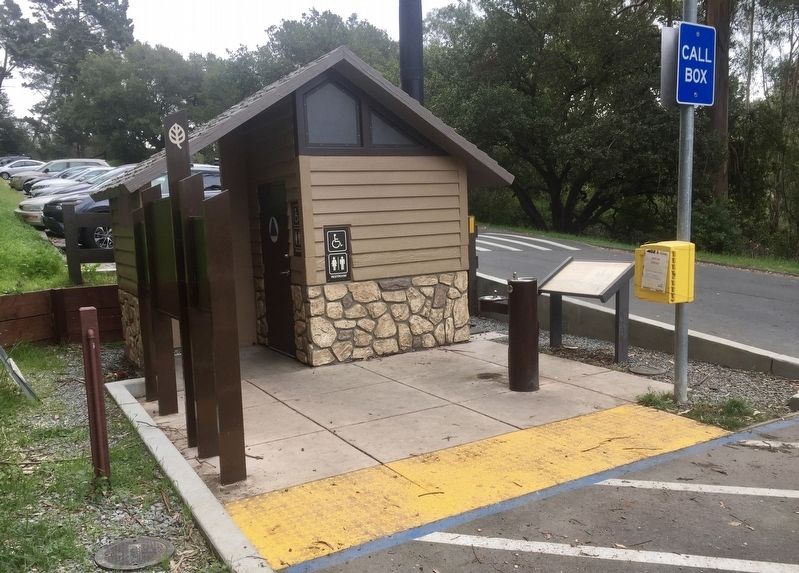
More about this marker. The marker is conveniently located outside the restroom at the Alvarado Staging Area section of Alvarado/Wildcat Canyon Park.
Credits. This page was last revised on September 10, 2020. It was originally submitted on March 1, 2020, by Andrew Ruppenstein of Lamorinda, California. This page has been viewed 351 times since then and 48 times this year. Photos: 1, 2. submitted on March 1, 2020, by Andrew Ruppenstein of Lamorinda, California.
