Hagerstown in Washington County, Maryland — The American Northeast (Mid-Atlantic)
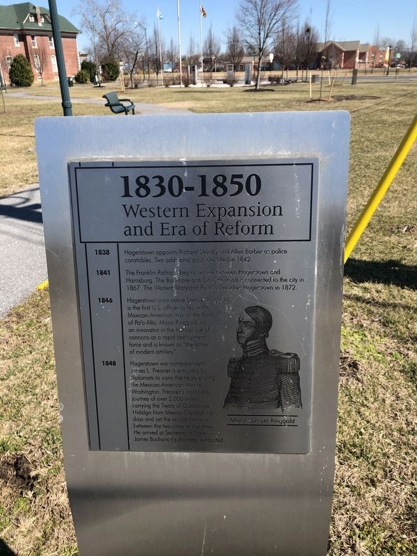
1830-1850
Western Expansion and Era of Reform
1838
Hagerstown appoints Richard Sheaby and Allen Barber as police constables. Two additional posts are filled in 1842.
1841
The Franklin Railroad begins service between Hagerstown and Harrisburg. The Baltimore and Ohio Railroad is connected to the city in 1867. The Western Maryland Railroad reaches Hagerstown in 1872.
1846
Hagerstown area native Samuel Ringgold is the first U.S. officer to fall in the Mexican-American War at the Battle of Palo Alto. Major Ringgold was an innovator in the tactical use of cannons as a rapid deployment force and is known as "the father of modern artillery".
1848
Hagerstown war correspondent James L. Freaner is entrusted by diplomats to carry the treaty ending the Mexican-American War to Washington. Freaner's incredible journey of over 2,000 miles carrying the Treaty of Guadalupe Hidalgo from Mexico City took 16 days and set the record for travel between the two cities at that time. He arrived at Secretary of State James Buchanan's doorstep exhausted.
Topics and series. This historical marker is listed in these topic lists: Law Enforcement • Railroads & Streetcars • War, Mexican-American . In addition, it is included in the Baltimore and Ohio Railroad (B&O), and the Former U.S. Presidents: #15 James Buchanan series lists. A significant historical year for this entry is 1838.
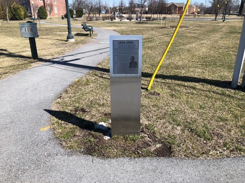
Location. 39° 37.935′ N, 77° 43.428′ W. Marker is in Hagerstown, Maryland, in Washington County. Marker is on West Memorial Boulevard just west of South Potomac Street (Maryland Route 65), on the right when traveling west. Touch for map. Marker is at or near this postal address: 9 West Memorial Boulevard, Hagerstown MD 21740, United States of America. Touch for directions.
Other nearby markers. At least 8 other markers are within walking distance of this marker. 1810-1830 (a few steps from this marker); 1850-1870 (a few steps from this marker); 1790-1810 (within shouting distance of this marker); 1910-1930 (within shouting distance of this marker); 1930-1950 (within shouting distance of this marker); 1870-1890 (within shouting distance of this marker); 1950-1970 (within shouting distance of this marker); 1770-1790 (within shouting distance of this marker). Touch for a list and map of all markers in Hagerstown.
Credits. This page was last revised on March 1, 2020. It was originally submitted on March 1, 2020, by Devry Becker Jones of Washington, District of Columbia. This page has been viewed 123 times since then and 13 times this year. Photos: 1, 2. submitted on March 1, 2020, by Devry Becker Jones of Washington, District of Columbia.

