Sarasota in Sarasota County, Florida — The American South (South Atlantic)
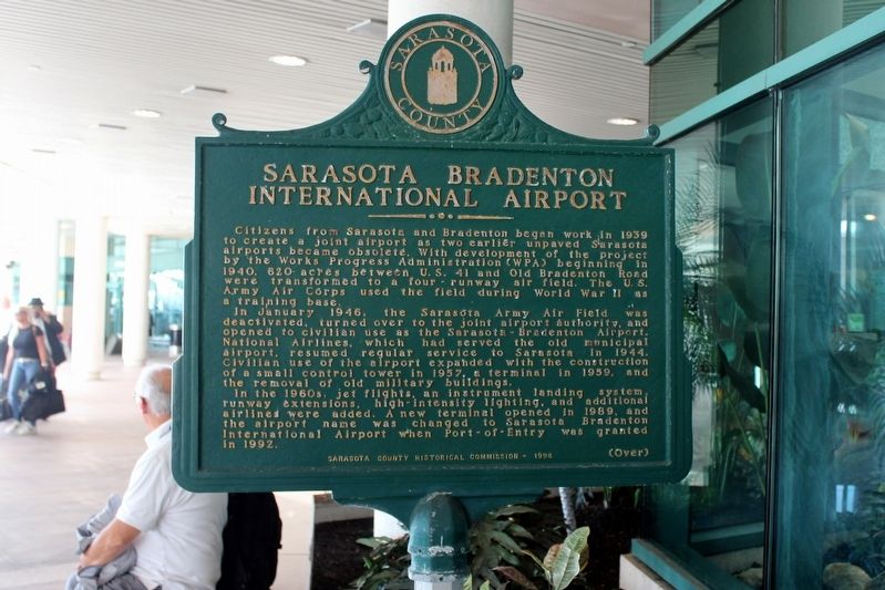
Sarasota Bradenton International Airport/Sarasota Army Air Field
Citizens from Sarasota and Bradenton began work in 1939 to create a joint airport as two earlier unpaved Sarasota airports became obsolete. With development of the project by the Works progress Administration (WPA) beginning in 1940, 620 acres between U.S. 41 and Old Bradenton Road were transformed to a four-runway air field. The U.S. Army Air Corps used the field during World War II as a training base.
In January 1946, the Sarasota Army Air Field, was deactivated, turned over to the joint airport authority, and opened to civilian use as the Sarasota-Bradenton Airport. National Airlines, which had served the old municipal airport, resumed regular service to Sarasota in 1944. Civilian use of the airport expanded with the construction of a small control tower in 1957, a terminal in 1959, and the removal of old military buildings.
In the 1960s, jet flights, an instrument landing system, runway extensions, high-intensity lighting, and additional airlines were added. A new terminal opened in 1989, and the airport name was changed to Sarasota Bradenton International Airport when Port-of-Entry was granted in 1992. (Over)
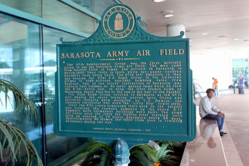
Sarasota Army Air Field
The 97th Bombardment Group was the first military group to use the Sarasota Army Air Field. The men came from MacDill Field in Tampa and arrived in Sarasota in March 1942. They lived in tents while tar-paper-covered barracks were being built. The 97th left Sarasota in May and became the first U.S. Bomb Group to fly American planes in high-altitude daylight bombing raids from England. One of the pilots' instructors in Sarasota was Captain Paul Tibbets, Jr. He later gained fame when he flew the B-29, Enola Gay, to drop the first atomic bomb on Hiroshima, Japan. This led to the end of the war in the Pacific.
The 92nd Bomb Group arrived in Sarasota as the 97th left. During the short training period here, Group and squadron insignia were designed by V.T. Hamlin, the Sarasota cartoonist who drew the "Alley Top" comic strip.
After the WPA crews completed their work on the airport and repaired the runways damaged by the heavy B-17 bombers, more permanent buildings were built. The Army Air Corps used the field for fighter pilot training until 1945. An average of 70 pilots graduated every 30 days. Approximately 60 airmen lost their lives here in training accidents during the war.
Erected 1996 by Sarasota County Historical Commission.
Topics. This historical marker is listed in these topic lists: Air & Space • War, World II. A significant historical year for this entry is 1939.
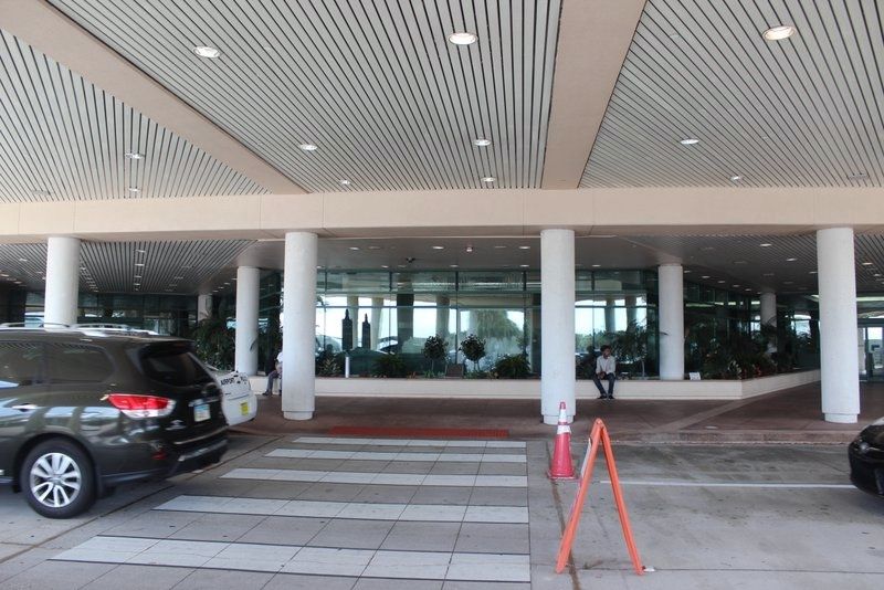
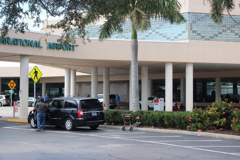
Location. 27° 23.246′ N, 82° 33.202′ W. Marker is in Sarasota, Florida, in Sarasota County. Marker is on Airport Circle, 0.4 miles east of North Tamiami Trail (U.S. 41), on the right when traveling west. Marker is located in front of the terminal entrance in a planter. Touch for map. Marker is at or near this postal address: 6000 Airport Circle, Sarasota FL 34243, United States of America. Touch for directions.
Other nearby markers. At least 8 other markers are within 2 miles of this marker, measured as the crow flies. Ca’D’Zan: House of John (approx. half a mile away); Beverly Pepper American, 1922-2020 (approx. 0.6 miles away); Indian Beach (approx. 1.4 miles away); Bay Haven School (approx. 1.8 miles away); The Booker Schools (approx. 1.8 miles away); Whitfield Estates on Sarasota Bay (approx. 1.9 miles away); Newtown / Helen R. Payne Day Nursery (approx. 1.9 miles away); Newtown Community Center/Robert L. Taylor Community Complex (approx. 2 miles away). Touch for a list and map of all markers in Sarasota.
Credits. This page was last revised on March 3, 2020. It was originally submitted on March 2, 2020, by Tim Fillmon of Webster, Florida. This page has been viewed 283 times since then and 30 times this year. Photos: 1, 2, 3, 4. submitted on March 2, 2020, by Tim Fillmon of Webster, Florida. • Bernard Fisher was the editor who published this page.


