Williamson in Mingo County, West Virginia — The American South (Appalachia)
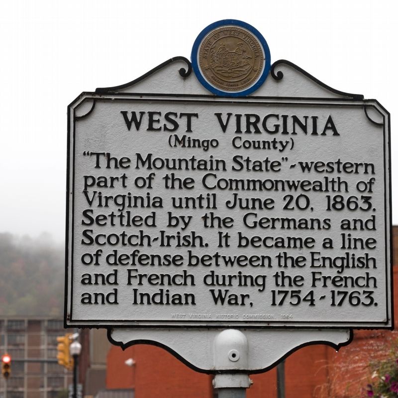
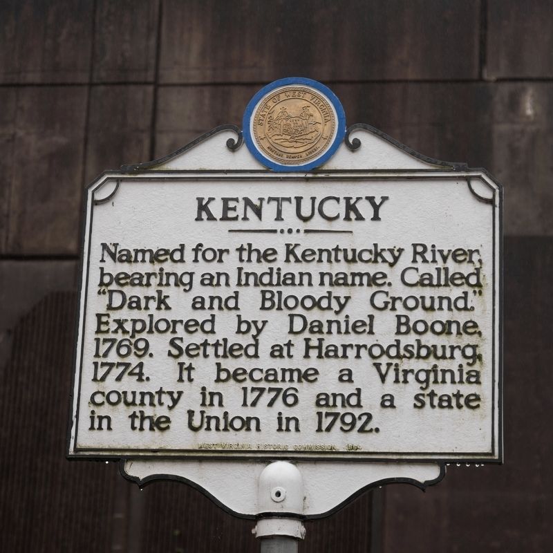
West Virginia (Mingo County) / Kentucky
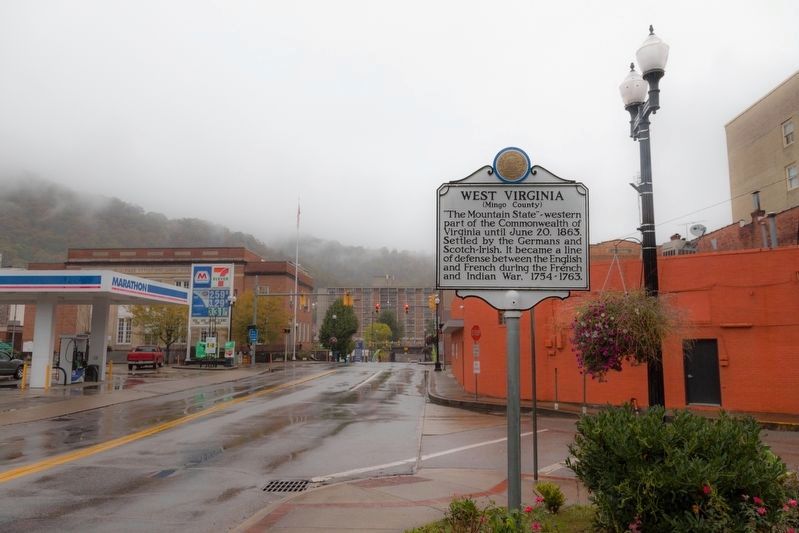
West Virginia. “The Mountain State”—western part of the Commonwealth of Virginia until June 20, 1863. Settled by the Germans and Scotch-Irish. It became a line of defense between the English and French during the French and Indian War, 1754-1763.
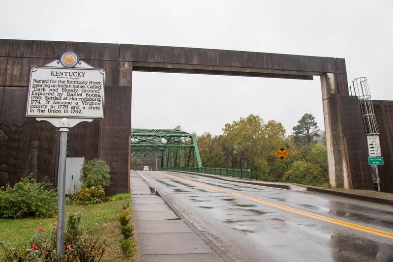
Named for the Kentucky River bearing an Indian name. Called “Dark and Bloody Ground.” Explored by Daniel Boone, 1769. Settled at Harrodsburg 1774. It became a Virginia county in 1776 and a state in the Union in 1792.
Erected 1964 by West Virginia Historic Commission.
Topics and series. This historical marker is listed in this topic list: Political Subdivisions. In addition, it is included in the West Virginia Archives and History series list. A significant historical date for this entry is June 20, 1863.
Location. 37° 40.401′ N, 82° 16.76′ W. Marker is in Williamson, West Virginia, in Mingo County. Marker is at the intersection of Harvey Street and 1st Avenue on Harvey Street. It is just inside the flood wall at the foot of the bridge over the Tug Fork river that crosses to Kentucky and U.S. 119. Touch for map. Marker is at or near this postal address: 11 W 2nd Ave, Williamson WV 25661, United States of America. Touch for directions.
Other nearby markers. At least 8 other markers are within 5 miles of this marker, measured as the crow flies. Chief Logan (about 300 feet away, measured in a direct line); Williamson, Mingo County (about 300 feet away); Veterans Memorial (about 400 feet away); a different marker also named Williamson (approx. 0.2 miles away); Williamson and the Railroad (approx. 0.2 miles away); Williamson Historic District (approx. 0.2 miles away); The Ohio Extension (approx. 3˝ miles away); Baby’s Grave Site (approx. 4.4 miles away in Kentucky). Touch for a list and map of all markers in Williamson.
Credits. This page was last revised on June 8, 2020. It was originally submitted on March 4, 2020, by J. J. Prats of Powell, Ohio. This page has been viewed 259 times since then and 20 times this year. Photos: 1, 2, 3, 4. submitted on March 4, 2020, by J. J. Prats of Powell, Ohio.


