Near Lyndhurst in Augusta County, Virginia — The American South (Mid-Atlantic)
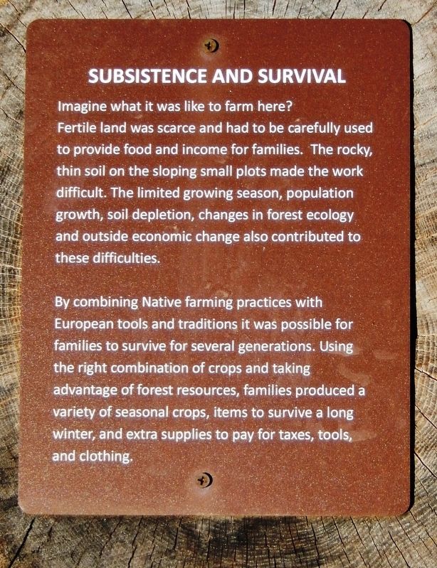
Subsistence and Survival
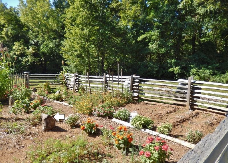
By combining Native farming practices with European tools and traditions it was possible for families to survive for several generations. Using the right combination of crops and taking advantage of forest resources, families produced a variety of seasonal crops, items to survive a long winter, and extra supplies to pay for taxes, tools, and clothing.
Topics. This historical marker is listed in these topic lists: Agriculture • Settlements & Settlers.
Location. 37° 58.287′ N, 78° 53.948′ W. Marker is near Lyndhurst, Virginia, in Augusta County. Marker can be reached from Blue Ridge Parkway (at milepost 6), 6 miles south of Howardsville Turnpike (Virginia Route 610), on the right when traveling south. Marker is located along the interpretive trail at the Humpback Rocks Visitor Center. Touch for map. Marker is in this post office area: Lyndhurst VA 22952, United States of America. Touch for directions.
Other nearby markers. At least 8 other markers are within 5 miles of this marker, measured as the crow flies. The Mountain Economy (here, next to this marker); Crop Protection from Predators (a few steps from this marker); Everyday Hard Work - Year Round (a few steps from this marker); Mountain Farms: A Way of Life (a few steps from this marker); Stone Fences (approx. 2.3 miles away); Rockfish Gap (approx. 4.7 miles away); Nelson County / Augusta County (approx. 4.7 miles away); Welcome to Shenandoah National Park (approx. 4.7 miles away). Touch for a list and map of all markers in Lyndhurst.
Credits. This page was last revised on March 6, 2020. It was originally submitted on March 6, 2020, by Cosmos Mariner of Cape Canaveral, Florida. This page has been viewed 143 times since then and 19 times this year. Photos: 1, 2. submitted on March 6, 2020, by Cosmos Mariner of Cape Canaveral, Florida.

