Near Lyndhurst in Augusta County, Virginia — The American South (Mid-Atlantic)
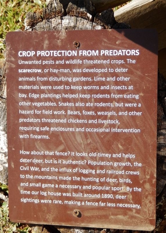
Crop Protection from Predators
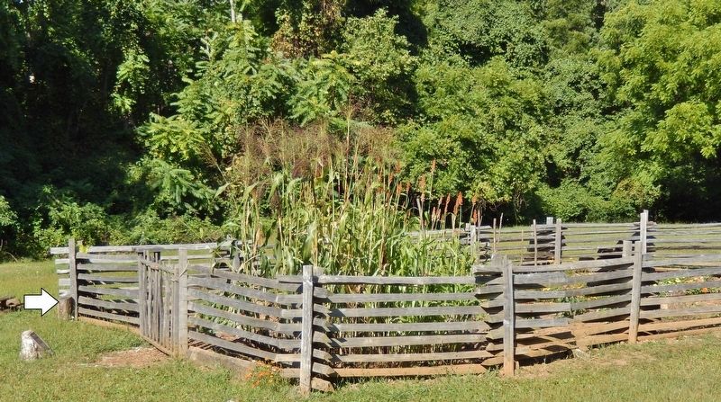
How about that fence? It looks old-timey and helps deter deer, but is it authentic? Population growth, the Civil War, and the influx of logging and railroad crews to the mountains made the hunting of deer, birds, and small game a necessary and popular sport. By the time our log house was built around 1890, deer sightings were rare, making a fence far less necessary.
Topics. This historical marker is listed in these topic lists: Agriculture • Settlements & Settlers.
Location. 37° 58.282′ N, 78° 53.949′ W. Marker is near Lyndhurst, Virginia, in Augusta County. Marker can be reached from Blue Ridge Parkway (at milepost 6), 6 miles south of Howardsville Turnpike (Virginia Route 610), on the right when traveling south. Marker is located along the interpretive trail at the Humpback Rocks Visitor Center. Touch for map. Marker is in this post office area: Lyndhurst VA 22952, United States of America. Touch for directions.
Other nearby markers. At least 8 other markers are within 5 miles of this marker, measured as the crow flies. The Mountain Economy (here, next to this marker); Subsistence and Survival (a few steps from this marker); Everyday Hard Work - Year Round (a few steps from this marker); Mountain Farms: A Way of Life (within shouting distance of this marker); Stone Fences (approx. 2.3 miles away); Rockfish Gap (approx. 4.7 miles away); Nelson County / Augusta County (approx. 4.7 miles away); Welcome to Shenandoah National Park (approx. 4.7 miles away). Touch for a list and map of all markers in Lyndhurst.
Credits. This page was last revised on March 6, 2020. It was originally submitted on March 6, 2020, by Cosmos Mariner of Cape Canaveral, Florida. This page has been viewed 186 times since then and 25 times this year. Photos: 1, 2, 3. submitted on March 6, 2020, by Cosmos Mariner of Cape Canaveral, Florida.


