Confusion Under Fire
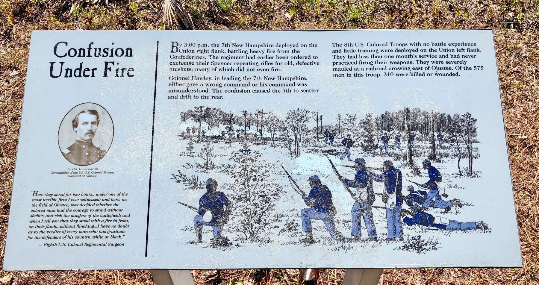
Colonel Hawley, in leading the 7th New Hampshire, either gave a wrong command or his command was misunderstood. The confusion caused the 7th to scatter and drift to the rear.
The 8th U.S. Colored Troops with no battle experience and little training were deployed on the Union left flank. They had less than one month's service and had never practiced firing their weapons. They were severely mauled at a railroad crossing east of Olustee. Of the 575 men in this troop, 310 were killed or wounded.
“Here they stood for two hours...under one of the
most terrible fires I ever witnessed; and here, on
the field of Olustee, was decided whether the
colored man had the courage to stand without
shelter, and risk the dangers of the battlefield; and
when I tell you that they stood with a fire in front,
on their flank...without flinching...I have no doubt
as to the verdict of every man who has gratitude
for the defenders of his country, white or black.
– Eighth U.S. Colonel Regimental Surgeon
Portrait photo:
Lt.
Col. Loren Burritt
Commander of the 8th U.S. Colored Troops;
wounded at Olustee
Erected by Florida Department of Environmental Protection.
Topics. This historical marker is listed in this topic list: War, US Civil.
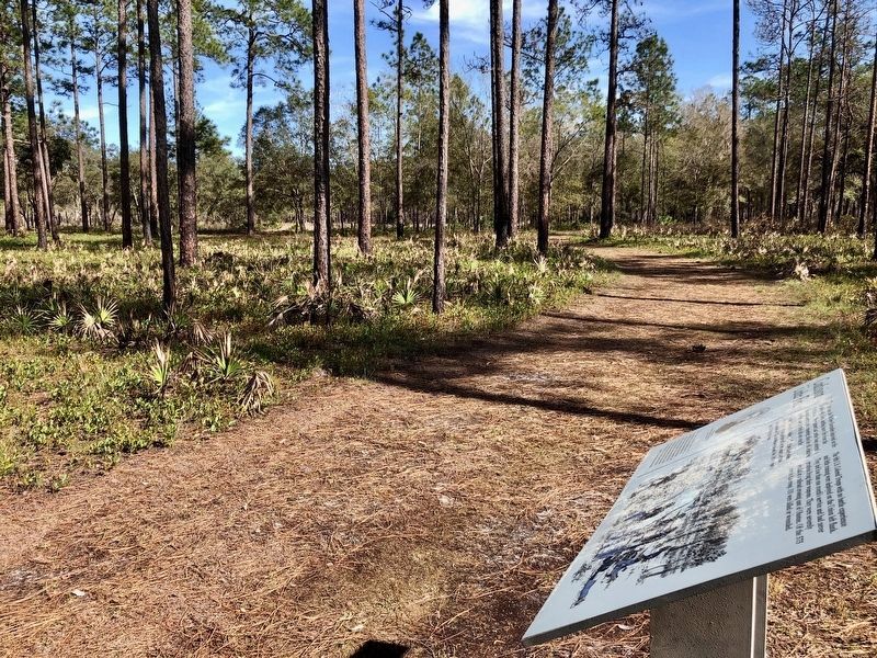
Location. 30° 13.08′ N, 82° 23.488′ W. Marker is near Olustee, Florida, in Baker County. Marker can be reached from Battlefield Trail, 0.3 miles north of U.S. 90. Touch for map. Marker is at or near this postal address: 5815 Battlefield Trail, Olustee FL 32072, United States of America. Touch for directions.
Other nearby markers. At least 8 other markers are within walking distance of this marker. The Battle Intensifies (about 300 feet away, measured in a direct line); The Battle Rages (about 500 feet away); Retreat (about 500 feet away); A Bloody Massacre (approx. 0.2 miles away); Hold That Line (approx. 0.2 miles away); Cries and Cheers (approx. 0.2 miles away); Fight or Die (approx. 0.2 miles away); The Yankees are Coming (approx. ¼ mile away). Touch for a list and map of all markers in Olustee.
Also see . . . Battle of Olustee article by the Olustee Battlefield Citizens Support Organization. (Submitted on March 8, 2020, by Mark Hilton of Montgomery, Alabama.)
Credits. This page was last revised on March 8, 2020. It was originally submitted on March 8, 2020, by Mark Hilton of Montgomery, Alabama. This page has been viewed 264 times since then and 47 times this year. Photos: 1, 2, 3. submitted on March 8, 2020, by Mark Hilton of Montgomery, Alabama.


