White River Junction in Windsor County, Vermont — The American Northeast (New England)
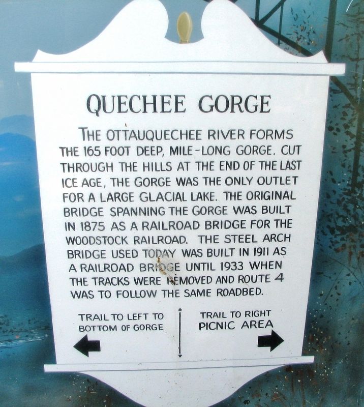
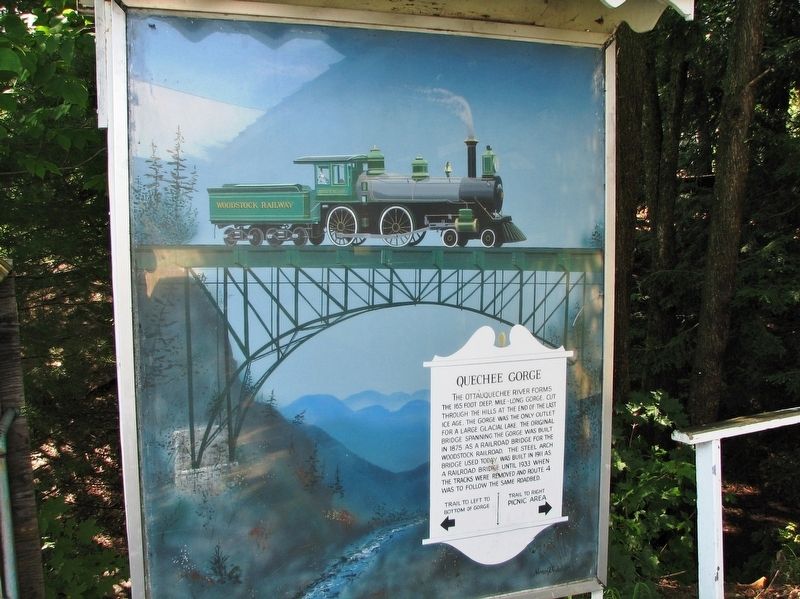
Quechee Gorge
Topics. This historical marker is listed in these topic lists: Bridges & Viaducts • Railroads & Streetcars • Roads & Vehicles. A significant historical year for this entry is 1911.
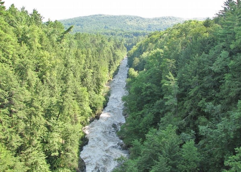
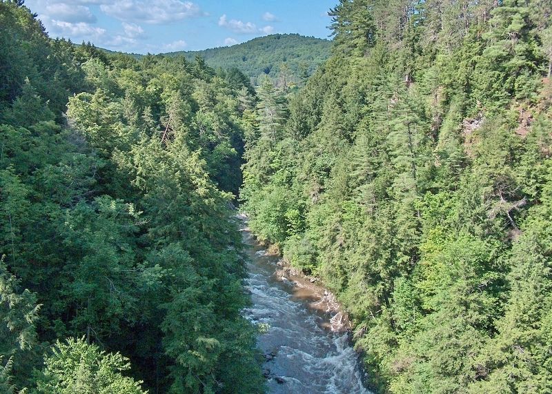
Location. 43° 38.252′ N, 72° 24.475′ W. Marker is in White River Junction, Vermont, in Windsor County. Marker can be reached from Woodstock Road (U.S. 4) just west of Deweys Mills Road, on the right when traveling west. Marker is mounted in an informational kiosk on the west side of the Quechee Gorge Gift Shop, overlooking the Ottauquechee River. Touch for map. Marker is at or near this postal address: 6053 Woodstock Road, White River Junction VT 05001, United States of America. Touch for directions.
Other nearby markers. At least 8 other markers are within 5 miles of this marker, measured as the crow flies. Theron Boyd House (approx. 2.2 miles away); Taftsville Covered Bridge (approx. 3.1 miles away); Disastrous Train Wreck (approx. 3.1 miles away); Vermont (approx. 4.4 miles away); Old Telephone Company (approx. 4˝ miles away); Gates Library (approx. 4˝ miles away); Smith Block (approx. 4˝ miles away); Smith & Company/Catamount Brewery (approx. 4˝ miles away). Touch for a list and map of all markers in White River Junction.
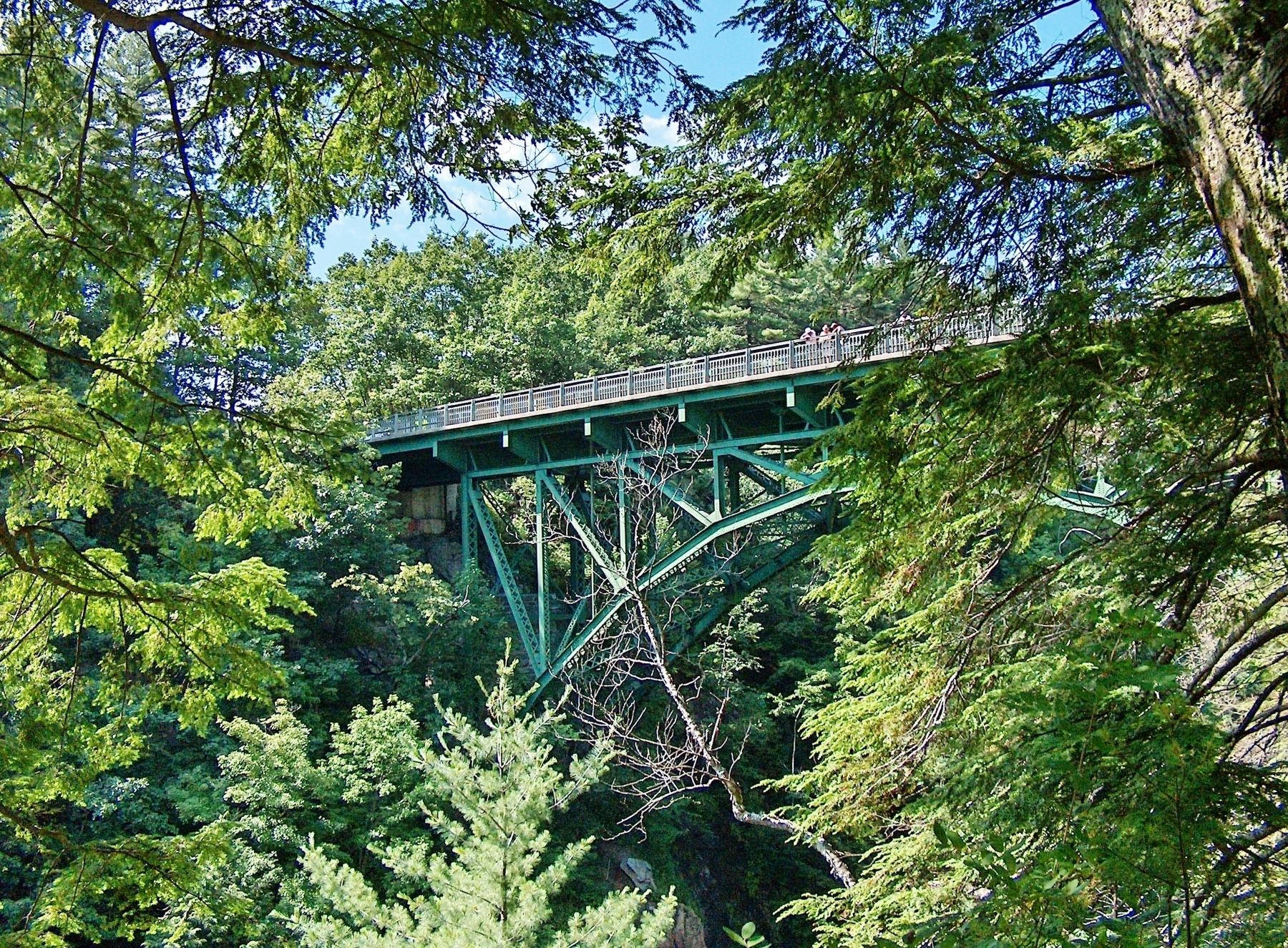
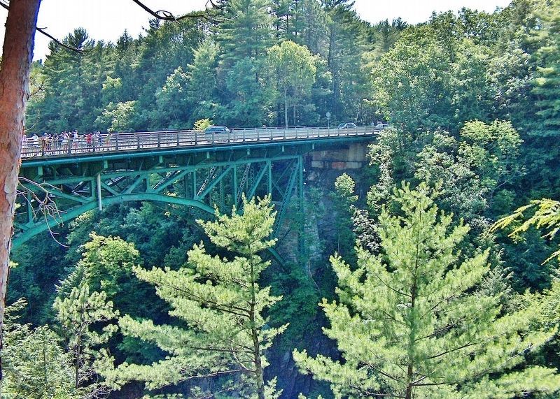
Regarding Quechee Gorge. Quechee Gorge Bridge is listed on the National Register of Historic Places, #90001490.
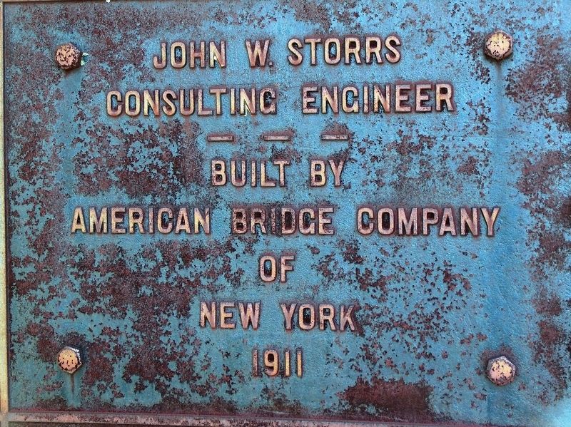
Also see . . . Quechee Gorge Bridge (Wikipedia). The Quechee Gorge Bridge, built in 1911, is Vermont's oldest surviving steel arch bridge. It is a three-span steel deck truss structure, 285 feet long, 41 feet wide, and 163 feet high carrying two lanes of traffic and sidewalks on both sides. Its main span is a parabolic spandrel-braced Pratt truss, forming a span of 188 feet. The bridge was built in 1911, its trusses built by the American Bridge Company to a design by John W. Storrs, a prolific local bridge engineer. It was originally built as a railroad bridge, and was in 1933 adapted for use as a highway bridge; it is from that period that its current deck dates. It was probably built by cantilevering the arch ends over the gorge, braced by stay cables until the ends were joined. (Submitted on March 10, 2020, by Cosmos Mariner of Cape Canaveral, Florida.)
Credits. This page was last revised on February 16, 2023. It was originally submitted on March 8, 2020, by Cosmos Mariner of Cape Canaveral, Florida. This page has been viewed 239 times since then and 22 times this year. Photos: 1, 2, 3, 4, 5, 6, 7. submitted on March 10, 2020, by Cosmos Mariner of Cape Canaveral, Florida.
