Near Porum in McIntosh County, Oklahoma — The American South (West South Central)
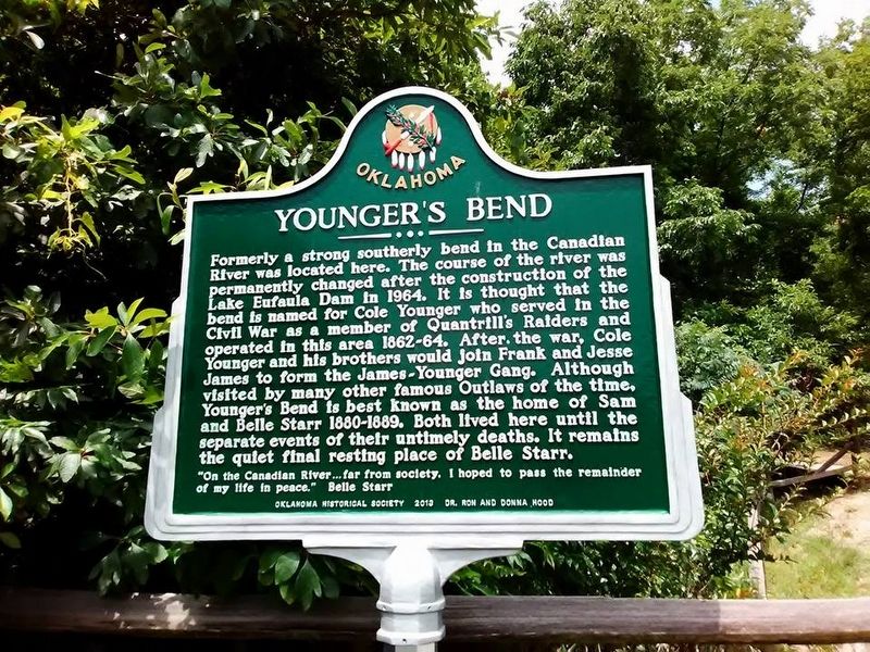
Younger's Bend
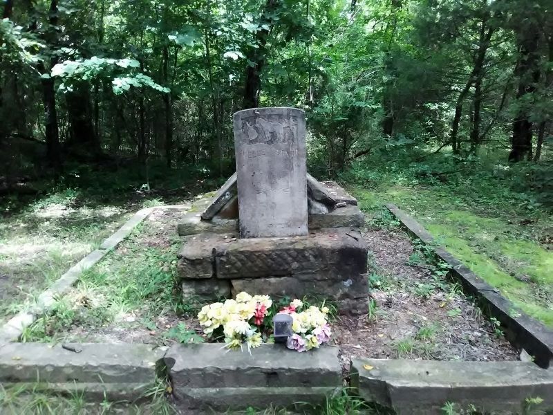
Formerly a strong southerly bend in the Canadian River was located here. The course of the river was permanently changed after the construction of the Lake Eufaula Dam in 1964. It is thought that the bend is named for Cole Younger who served in the Civil War as a member of Quantrill's Raiders and operated in this area 1862-64. After the war, Cole Younger and his brothers would join Frank and Jesse James to form the James-Younger Gang. Although visited by many other famous Outlaws of the time, Younger's Bend is best known as the home of Sam and Belle Starr 1880-1889. Both lived here until the separate events of their untimely deaths. It remains the quiet final resting place of Belle Starr.
"On the Canadian River...far from society, I hoped to pass the remainder of my life in peace." Belle Starr
Erected 2013 by Oklahoma Historical Society and Dr. Ron and Donna Hood.
Topics and series. This historical marker is listed in this topic list: War, US Civil. In addition, it is included in the Jesse James, and the Oklahoma Historical Society series lists. A significant historical year for this entry is 1880.
Location. 35° 18.065′ N, 95° 20.335′ W. Marker is near Porum, Oklahoma, in McIntosh County. Marker is on State Highway 71, 5˝ miles west of State Highway 2, on the right when traveling west. Touch for map. Marker is in this post office area: Porum OK 74455, United States of America. Touch for directions.
Other nearby markers. At least 8 other markers are within 16 miles of this marker, measured as the crow flies. 116 South Broadway (approx. 15.6 miles away); Kniseley and Long Building (approx. 15.6 miles away); Towry Brothers Building (approx. 15.6 miles away); The Gentry Block (approx. 15.6 miles away); City Hall (approx. 15.7 miles away); Veterans Memorial (approx. 15.7 miles away); Methodist Episcopal Church, South (approx. 15.7 miles away); Jefferson Highway (approx. 16 miles away).
Also see . . . Belle Starr. (Submitted on March 9, 2020, by J. Makali Bruton of Accra, Ghana.)
Credits. This page was last revised on July 16, 2020. It was originally submitted on March 8, 2020, by Jason Armstrong of Talihina, Oklahoma. This page has been viewed 525 times since then and 63 times this year. Photos: 1. submitted on March 8, 2020, by Jason Armstrong of Talihina, Oklahoma. 2. submitted on March 9, 2020, by Jason Armstrong of Talihina, Oklahoma. • J. Makali Bruton was the editor who published this page.
Editor’s want-list for this marker. A wide view photo of the marker and the surrounding area together in context. • Can you help?

