Hazel Green in Wolfe County, Kentucky — The American South (East South Central)
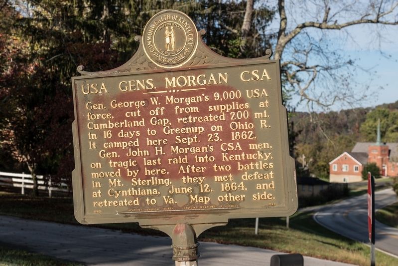
USA Gens. Morgan CSA
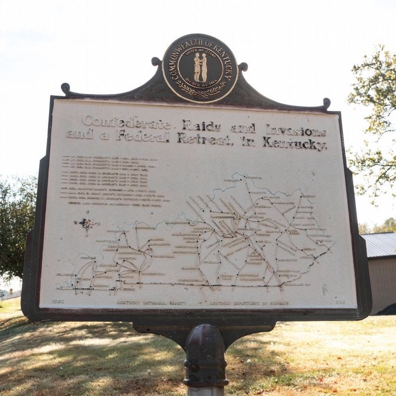
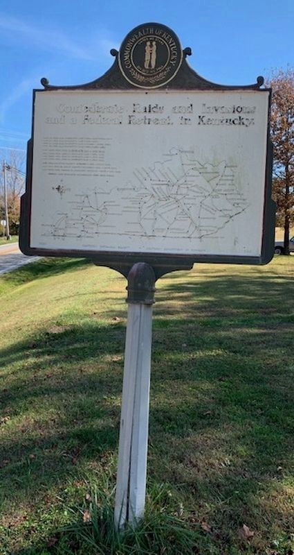
Confederate Raids and Invasions, and a Federal Retreat, in Kentucky
Photographed by J. J. Prats, October 21, 2019
1. USA Gens. Morgan CSA Marker
Gen. John H. Morgan’s CSA men, on tragic last raid into Kentucky, moved by here. After two battles in Mount Sterling, they met defeat at Cynthiana, June 12, 1864, and retreated to Virginia.
Erected 1963 by Kentucky Historical Society and Kentucky Department of Highways. (Marker Number 646.)
Topics and series. This historical marker is listed in this topic list: War, US Civil. In addition, it is included in the Kentucky - Confederate Raids and Invasions, and a Federal Retreat, and the Kentucky Historical Society series lists. A significant historical date for this entry is June 12, 1864.
Location. 37° 47.761′ N, 83° 24.75′ W. Marker is in Hazel Green, Kentucky, in Wolfe County. It is at the intersection of Kentucky Route 191 and Academy Road on Kentucky Route 191. Academy Road is a loop, intersecting Route 191 twice. This intersection is the western one, closest to town. Touch for map. Marker is in this post office area: Hazel Green KY 41332, United States
this page online

Regionally, this marker is in Eastern Kentucky and in the Cumberland Plateau. It is also in the American South, specifically in the Upper South, in Appalachia, and specifically in Southern Appalachia. Globally, it is in North America, the Western Hemisphere, the Western World, and the Anglosphere. Historically, it finds itself in what was once the territory of the Mississippian Culture and also the Antebellum South.
Other nearby markers. At least 8 other markers are within 9 miles of this marker, measured as the crow flies: Hazel Green Academy (a few steps from this marker); Swango Springs Spa (approx. half a mile away); Wolfe County War Memorial (approx. 8½ miles away); Gateway to Appalachia (approx. 8½ miles away); Swift's Silver Camp (approx. 8½ miles away); Wolfe County, 1860 (approx. 8½ miles away); a different marker also named USA Gens. Morgan CSA (approx. 8½ miles away); Wolfe County Veterans Wall (approx. 8½ miles away). Touch for a list and map of all markers in Hazel Green.
Photographed by J. J. Prats, October 21, 2019
2. USA Gens. Morgan CSA Marker
Photographed by J. J. Prats, October 21, 2019
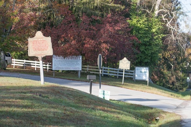
3. USA Gens. Morgan CSA and Hazel Green Academy Markers
Photographed by Frank Profitt, November 8, 2020
4. USA Gens. Morgan CSA Marker Mapside
Credits. This page was last revised on November 9, 2020. It was originally submitted on March 12, 2020, by J. J. Prats of Powell, Ohio. This page has been viewed 721 times since then and 31 times this year. Photos: 1, 2, 3. submitted on March 12, 2020, by J. J. Prats of Powell, Ohio. 4. submitted on November 8, 2020, by Frank Profitt of Georgetown, Kentucky.
