Santa Paula in Ventura County, California — The American West (Pacific Coastal)
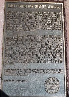
Saint Francis Dam Disaster Memorial
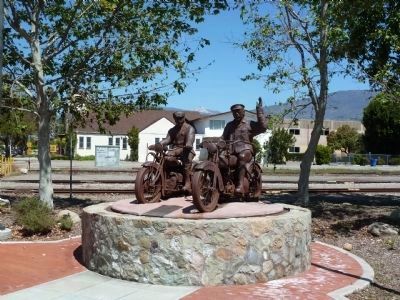
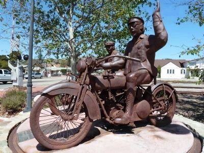
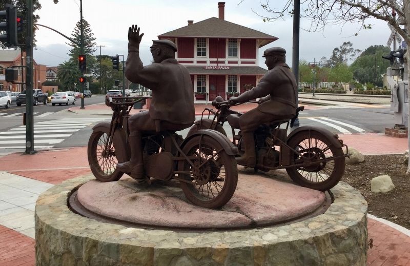
Shortly before 1:30 a.m. on March 13 an urgent message of imminent disaster reached the night telephone operator in Santa Paula and was relayed to police officers, city officials and then homes in the lower portions of town. Among the many heroes of the flood that evening were two motorcycle officers who rode through the night to warn the sleeping citizens in the low lying areas of Santa Paula that a torrent of water was about to inundate their homes. Their heroic efforts saved countless lives. Their wild ride that night was stopped at 3:05 a.m. when the wall of water swept through Santa Paula on its way to the ocean.
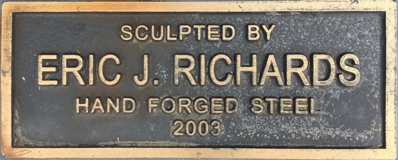
Many stories of heroism and courage emerged in the aftermath of the flood. This monument represents one such act of heroism.
Erected 2003 by City of Santa Paula.
Topics. This historical marker and memorial is listed in this topic list: Disasters. A significant historical date for this entry is March 12, 1995.
Location. 34° 21.355′ N, 119° 3.639′ W. Marker is in Santa Paula, California, in Ventura County. Marker is at the intersection of East 10th Street (County Route 150) and East Santa Barbara Street, on the right when traveling north on East 10th Street. Touch for map. Marker is in this post office area: Santa Paula CA 93060, United States of America. Touch for directions.
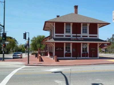
Other nearby markers. At least 8 other markers are within walking distance of this marker. The Depot, Santa Paula (within shouting distance of this marker); Glen Tavern Inn (about 600 feet away, measured in a direct line); Birthplace of Union Oil Company of California (about 700 feet away); Water Well Drilling Rig (approx. 0.2 miles away); First Christian Church (approx. 0.2 miles away); The Town Clock (approx. ¼ mile away); McKevett School (approx. ¼ mile away); Canyon School (approx. ¼ mile away). Touch for a list and map of all markers in Santa Paula.
Regarding Saint Francis Dam Disaster Memorial. Although many reports say the number of lives lost was over 450, recent research shows the number is close to 430. This was the worst man-made disaster of the 20th century. On March 12, 2019, the Saint Francis Dam Disaster National Monument was established. Fundraising is underway to build a visitor center at the dam
site.
Related markers. Click here for a list of markers that are related to this marker. St. Francis Dam Disaster sites.
Also see . . .
1. Santa Clarita Valley History. An extensive collection of newspaper articles, photos and information relating to the St. Francis Dam Disaster. (Submitted on April 18, 2012.)
2. Thesis by Ann Stansell. A detailed study of the human loss, 2014. (Submitted on March 13, 2020.)
Additional commentary.
1. Man Made Disaster - by Charles F. Outland
This book was widely regarded as one of the most authoritative historical accounts of the St. Francis Dam disaster from the mechanism of the failure through the aftermath of the flood.
— Submitted June 11, 2013, by James King of San Miguel, California.
Credits. This page was last revised on March 30, 2024. It was originally submitted on April 16, 2012, by Chris English of Phoenix, Arizona. This page has been viewed 3,408 times since then and 53 times this year. Last updated on March 13, 2020, by Craig Baker of Sylmar, California. Photos: 1, 2, 3, 4. submitted on April 16, 2012, by Chris English of Phoenix, Arizona. 5, 6. submitted on March 13, 2018, by Craig Baker of Sylmar, California. • J. Makali Bruton was the editor who published this page.
