Wissahickon Valley Park in Philadelphia in Philadelphia County, Pennsylvania — The American Northeast (Mid-Atlantic)
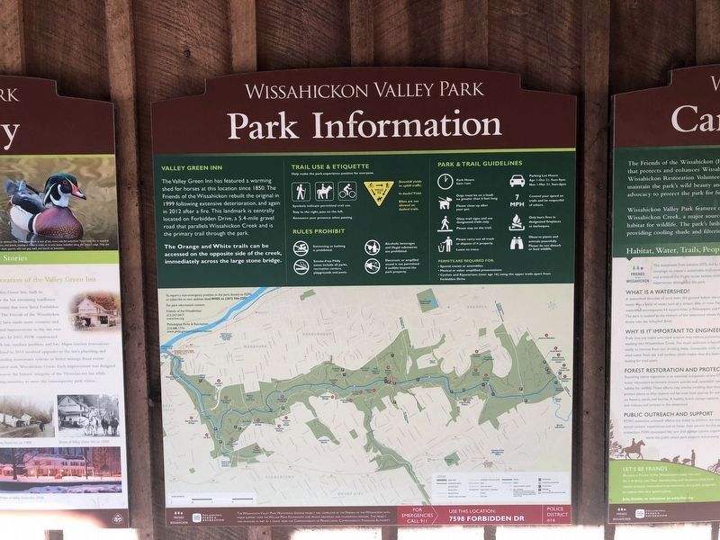
Park Information
Wissahickon Valley Park
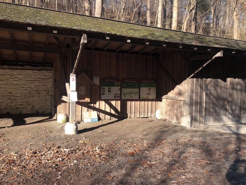
The Valley Green Inn has featured a warming shed for horses at this location since 1850. The Friends of the Wissahickon rebuilt the original in 1999 following extensive deterioration, and again in 2012 after a fire. This landmark is centrally located on Forbidden Drive, a 5.4-mile gravel road that parallels Wissahickon Creek and is the primary trail through the park.
The Orange and White Trails can be accessed on the opposite side of the creek, immediately across the large stone bridge.
Erected by Philadelphia Parks & Recreation.
Topics. This historical marker is listed in these topic lists: Animals • Parks & Recreational Areas. A significant historical year for this entry is 1850.
Location. 40° 3.257′ N, 75° 13.088′ W. Marker is in Philadelphia, Pennsylvania, in Philadelphia County. It is in Wissahickon Valley Park. Marker is on Forbidden Drive south of Valley Green Road, on the right when traveling south. Touch for map. Marker is in this post office area: Philadelphia PA 19128, United States of America. Touch for directions.
Other nearby markers. At least 8 other markers are within 2 miles of this marker, measured as the crow flies. Valley Green Inn (a few steps from this marker); Park Directory (within shouting distance of this marker); Violet Oakley (approx. ¾ mile away); Wissahickon Inn (approx. 0.8 miles away); Original cornerstone of the old Leverington Hotel (approx. 1.2 miles away); 21st Ward World War Memorial (approx. 1.2 miles away); Transformation in the heart of Roxborough (approx. 1.3 miles away); Sadie T.M. Alexander (approx. 1.3 miles away). Touch for a list and map of all markers in Philadelphia.
Credits. This page was last revised on February 2, 2023. It was originally submitted on March 14, 2020, by Devry Becker Jones of Washington, District of Columbia. This page has been viewed 110 times since then and 12 times this year. Photos: 1, 2, 3. submitted on November 20, 2020, by Devry Becker Jones of Washington, District of Columbia.
Editor’s want-list for this marker. Clear, daylight, closeup shot of the marker, as well as a wide context shot. • Can you help?


