Antioch in Davidson County, Tennessee — The American South (East South Central)
Cane Ridge Cumberland Presbyterian Church
Inscription.
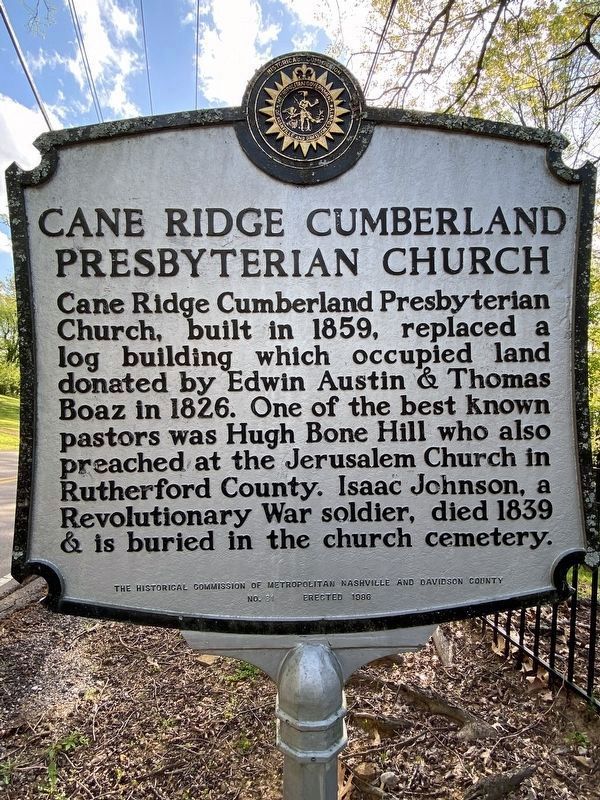
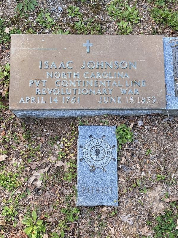
Cane Ridge Cumberland Presbyterian Church, built in 1859, replaced a log building which occupied land donated by Edwin Austin & Thomas Boaz in 1826. One of the best known pastors was Hugh Bone Hill who also preached at the Jerusalem Church in Rutherford County. Isaac Johnson, a Revolutionary War soldier, died 1839 & is buried in the church cemetery.
Erected 1982 by The Historical Commission of Metropolitan Nashville and Davidson County. (Marker Number 21.)
Topics and series. This historical marker is listed in these topic lists: Cemeteries & Burial Sites • Churches & Religion. In addition, it is included in the Tennessee, The Historical Commission of Metropolitan Nashville and Davidson County series list. A significant historical year for this entry is 1826.
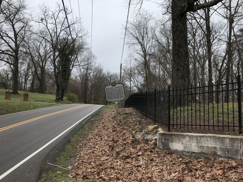
Location. 36° 0.045′ N, 86° 38.037′ W. Marker is in Antioch, Tennessee, in Davidson County. Marker is on Old Hickory Boulevard, 0.1 miles east of Cane Ridge Road, on the right when traveling west. Touch for map. Marker is at or near this postal address: 13412 Old Hickory Blvd, Antioch TN 37013, United States of America. Touch for directions.
Other nearby markers. At least 8 other markers are within 4 miles of this marker, measured as the crow flies. Olive Branch Missionary Baptist Church (approx. half a mile away); Alfred Z. Kelley (approx. 2.1 miles away); Mary Kate Patterson (approx. 3.2 miles away); Alice Thompson Collinsworth (approx. 3.2 miles away); Wheeler's Raid around Rosecrans (approx. 3.3 miles away); Mary Kate Patterson Davis Hill Kyle (approx. 3.3 miles away); 1937 Historic Nolensville School (approx. 3.6 miles away); Sherwood Green (approx. 3.6 miles away). Touch for a list and map of all markers in Antioch.
Credits. This page was last revised on April 18, 2023. It was originally submitted on March 14, 2020, by Duane and Tracy Marsteller of Murfreesboro, Tennessee. This page has been viewed 502 times since then and 63 times this year. Photos: 1. submitted on April 16, 2023, by Darren Jefferson Clay of Duluth, Georgia. 2, 3, 4. submitted on March 14, 2020, by Duane and Tracy Marsteller of Murfreesboro, Tennessee. 5. submitted on April 16, 2023, by Darren Jefferson Clay of Duluth, Georgia. • Devry Becker Jones was the editor who published this page.
