William Penn Annex East in Philadelphia in Philadelphia County, Pennsylvania — The American Northeast (Mid-Atlantic)
The Names of the People Who Lived on This Block
Photographed by Devry Becker Jones (CC0), March 14, 2020
1. The Names of the People Who Lived on This Block Marker
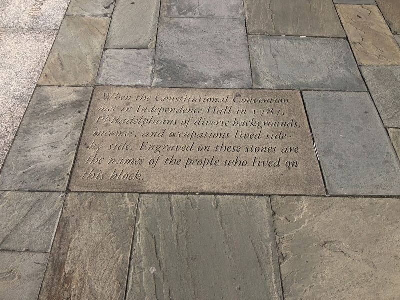
When the Constitutional Convention met in Independence Hall in 1787, Philadelphians of diverse backgrounds, incomes, and occupations lived side-by-side. Engraved on these stones are the names of the people who lived on this block.
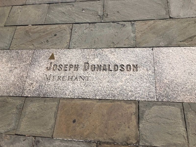
Joseph Donaldson
Merchant
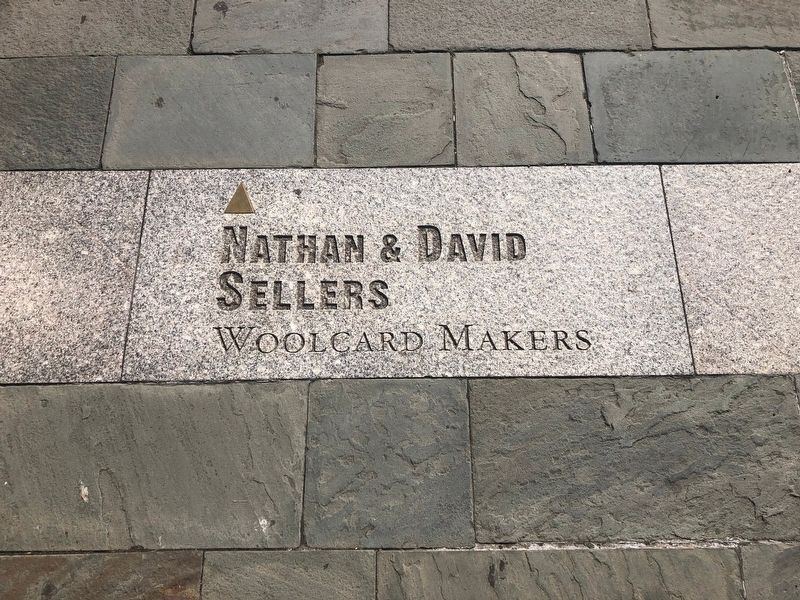
Nathan & David Sellers
Woolcard Makers
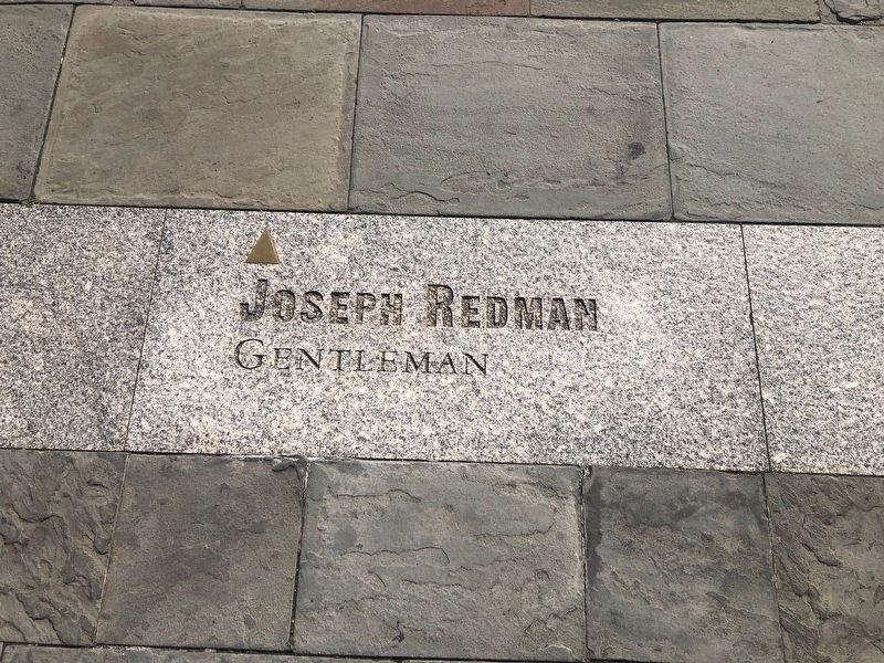
Joseph Redman
Gentleman
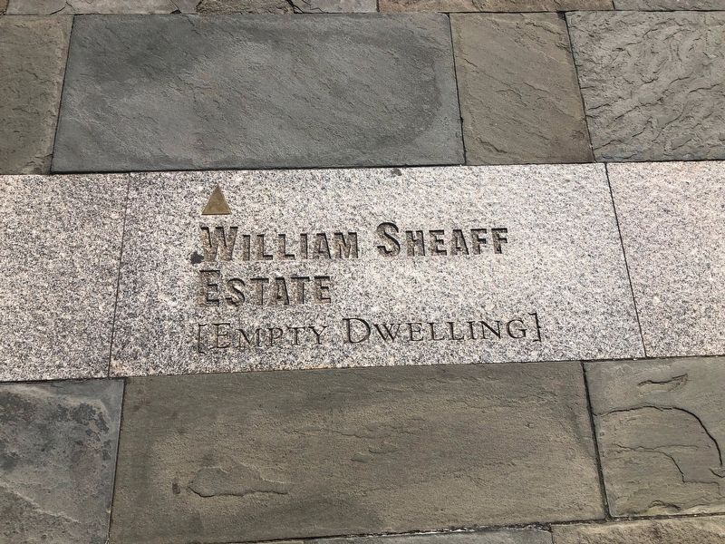
William Sheaff Estate
[Empty Dwelling]
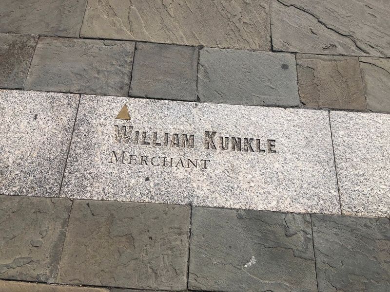
William Kunkle
Merchant
John Cope
Grocer
Amos Foulke
Merchant
Thomas Moore
Gentleman
William Bell
Merchant
James Stacks
Innkeeper
John Pemberton
Gentleman
James Lang
Ropemaker
Charles Chamberlain
Jacob Stein
Grocer
Adam Boush
Reedmaker
Simon Stedicorn
Papermaker
Dr. James Dunlap
George Reinhold
Stationer
Erected by National Park Service, U.S. Department of the Interior.
Topics. This historical marker is listed in these topic lists: Settlements & Settlers • War, US Revolutionary. A significant historical year for this entry is 1787.
Location. 39° 57.049′ N, 75° 8.995′ W. Marker is in Philadelphia, Pennsylvania, in Philadelphia County. It is in William Penn Annex East. It is on Market Street
this page online

Regionally, this marker is in Southeast Pennsylvania. It is also in the American Northeast and in the Mid-Atlantic. Globally, it is in North America, the Western Hemisphere, the Western World, and the Anglosphere. Historically, it finds itself in what was once the Haudenosaunee (Iroquois) Confederacy, New Netherland, and one of the original Thirteen Colonies.
Other nearby markers. At least 8 other markers are within walking distance of this marker: Second Street, North of Market Street with Christ Church. (a few steps from this marker); Indelible (a few steps from this marker); a different marker also named Indelible (within shouting distance of this marker); The Executive Branch (within shouting distance of this marker); Abigail Adams (within shouting distance of this marker); Celebrating Independence Throughout the Years (within shouting distance of this marker); What is Executive Power?
Other markers no longer nearby. Promoting the Abolition of Slavery (was within shouting distance of this marker but has been replaced with another marker now near it); Death Carts (was within shouting distance of this marker but has been replaced with another marker now near it); Refuge in the country (was within shouting distance of this marker but has been replaced with another marker now near it); a different marker also named The Executive Branch (was within shouting distance of this marker but has been permanently removed); A Day of Reciprocity (was within shouting distance of this marker but has been replaced with another marker now near it); Oney Escapes! (was within shouting distance of this marker but has been replaced with another marker now near it); The opener of the Way (was within shouting distance of this marker but has been replaced with another marker now near it); "Burn this treaty to Hell!" (was within shouting distance of this marker
Credits. This page was last revised on February 2, 2023. It was originally submitted on March 15, 2020, by Devry Becker Jones of Washington, District of Columbia. This page has been viewed 799 times since then and 63 times this year. Photos: 1, 2, 3, 4, 5, 6. submitted on March 15, 2020, by Devry Becker Jones of Washington, District of Columbia.
