Oriskany Falls in Oneida County, New York — The American Northeast (Mid-Atlantic)
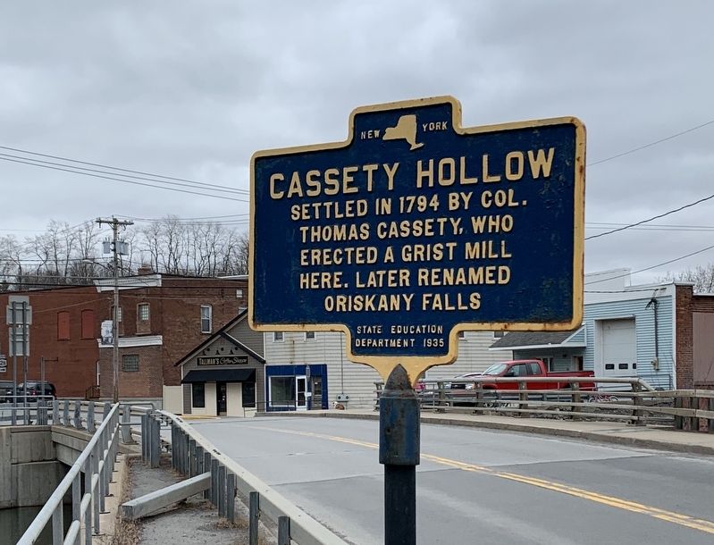
Cassety Hollow
Settled in 1794 by Col. Thomas Cassety, who erected a grist mill here. Later renamed Oriskany Falls
Erected 1935 by State Education Department.
Topics. This historical marker is listed in this topic list: Settlements & Settlers. A significant historical year for this entry is 1794.
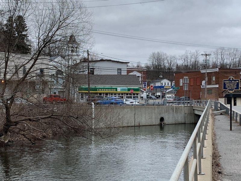
Location. 42° 56.335′ N, 75° 27.71′ W. Marker is in Oriskany Falls, New York, in Oneida County. Marker is at the intersection of Madison Street (New York State Route 26) and Davie Lane, on the right when traveling south on Madison Street. Touch for map. Marker is in this post office area: Oriskany Falls NY 13425, United States of America. Touch for directions.
Other nearby markers. At least 8 other markers are within 5 miles of this marker, measured as the crow flies. Utica, Clinton & Binghamton R.R. (about 700 feet away, measured in a direct line); Stone Church (about 700 feet away); Waterville Civil War Memorial (approx. 4 miles away); Sangerfield (approx. 4 miles away); Deansboro Depot (approx. 4.2 miles away); Birth Place of George Eastman (approx. 4.4 miles away); Lock Company (approx. 4.4 miles away); Samson Occom Grave Site (approx. 4.6 miles away). Touch for a list and map of all markers in Oriskany Falls.
Also see . . . Oriskany Falls, New York (Wikipedia). (Submitted on March 17, 2020, by Michael Herrick of Southbury, Connecticut.)
Credits. This page was last revised on March 17, 2020. It was originally submitted on March 15, 2020, by Steve Stoessel of Niskayuna, New York. This page has been viewed 211 times since then and 52 times this year. Photos: 1, 2. submitted on March 15, 2020, by Steve Stoessel of Niskayuna, New York. • Michael Herrick was the editor who published this page.

