Near Escalante in Garfield County, Utah — The American Mountains (Southwest)
Building the Million-dollar Road
Civilian Conservation Corps
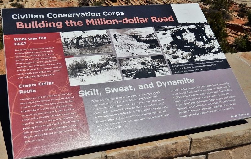
Skill, Sweat, and Dynamite
Before the Highway 12 route was built, traveling through this region was slow, hard work. As late as 1940, Boulder still received its mail by mule train for part of the year. The Civilian Conservation Corps had completed the Hell's Backbone Road between Escalante and Boulder in 1933, allowing vehicle traffic in summertime. But when winter snows closed that road, the only routes between the two towns were wagon trails through the canyons before you.
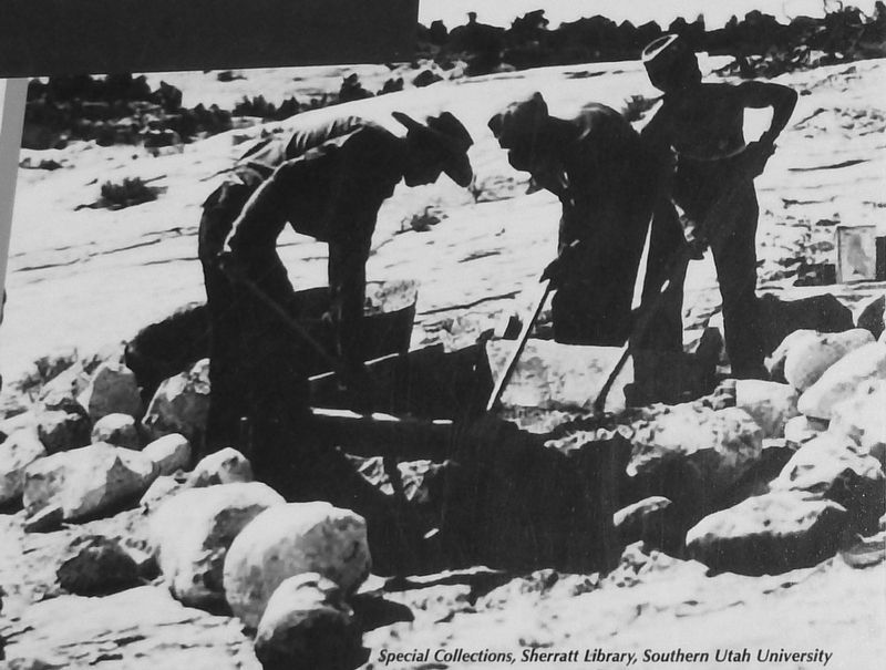
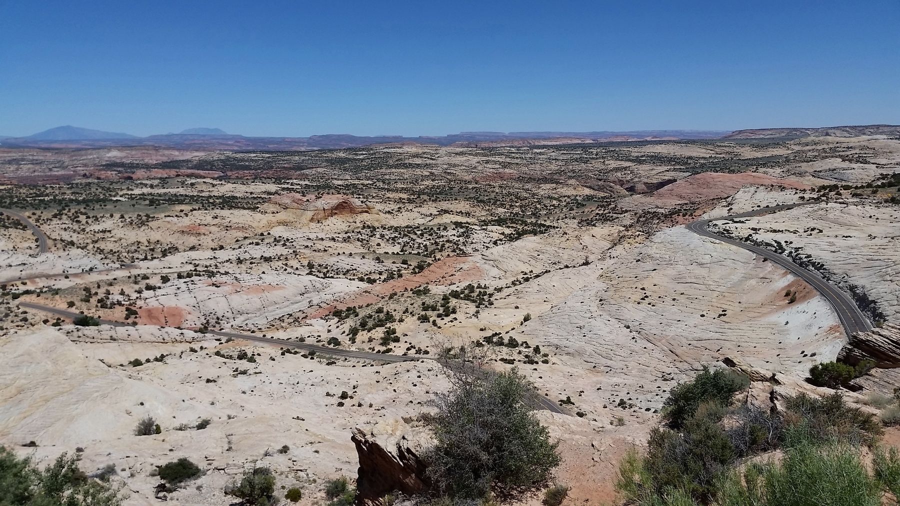
In 1935, Civilian Conservation Corps crews began to build the Lower Boulder Road, now part of Highway 12. Nicknamed the "Million Dollar Road," the road took five years, backbreaking effort, ingenuity, and many tons of dynamite to complete. Crews blasted through sandstone ledges down to the Escalante River and up Calf Creek Canyon. On June 21, 1940, jubilant community members celebrated completion of the first all-season automobile road between the two communities.
What was the CCC?
During the Great Depression, President Franklin Delano Roosevelt created the Civilian Conservation Corps (CCC), to provide work to young, unmarried men. Recruits fought forest fires, planted trees, and built roads, trails, dams, and recreation facilities on public lands. Between 1933 and 1942, roughly three million men received work and training through the CCC.
Cream Cellar Route
Used between 1924 and 1940, the Cream Cellar Route began near here and traversed the slickrock canyons to Boulder. Three times a week, Boulder farmers shipped as many as 50 five-gallon pails of cream by postal service mule train, bound for a Bryce Valley creamery. The Boulder mail carrier stored the cream in a dugout cellar near here, to be picked up by the Escalante mail carrier. In summer, pails of cream occasionally fermented en route, blasting off their lids and coating the mail bags with sour cream.
Topics and series. This historical marker is listed in these topic lists: Charity & Public Work • Roads & Vehicles. In addition, it is included in the Civilian Conservation Corps (CCC) series list. A significant historical date for this entry is June 21, 1940.
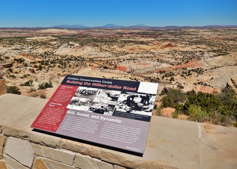
Location. 37° 44.796′ N, 111° 27.229′ W. Marker is near Escalante, Utah, in Garfield County. Marker is on Utah Route 12 at milepost 69, on the left when traveling east. Marker is located at the Head of the Rocks Overlook on Utah Scenic Byway 12, about 10 miles east of Escalante. Touch for map. Marker is in this post office area: Escalante UT 84726, United States of America. Touch for directions.
Other nearby markers. At least 7 other markers are within 9 miles of this marker, measured as the crow flies. Conserving Wildness (a few steps from this marker); View from Head of the Rocks (a few steps from this
marker); Old Boulder Mail Trail (approx. 7.1 miles away); Old White Church (approx. 8.2 miles away); L.D.S. Tithing Office (approx. 8.2 miles away); First Public Building (approx. 8.2 miles away); Escalante (approx. 8.3 miles away).
Credits. This page was last revised on March 15, 2020. It was originally submitted on March 15, 2020, by Cosmos Mariner of Cape Canaveral, Florida. This page has been viewed 426 times since then and 58 times this year. Photos: 1, 2, 3, 4. submitted on March 15, 2020, by Cosmos Mariner of Cape Canaveral, Florida.


