
Cherry Hill in Camden County, New Jersey — The American Northeast (Mid-Atlantic)
Raoul Wallenberg
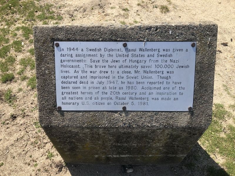
Topics and series. This historical marker is listed in these topic lists: Religion & Religious Structures • War, World II. In addition, it is included in the The Holocaust series list. A significant historical month for this entry is July 1947.
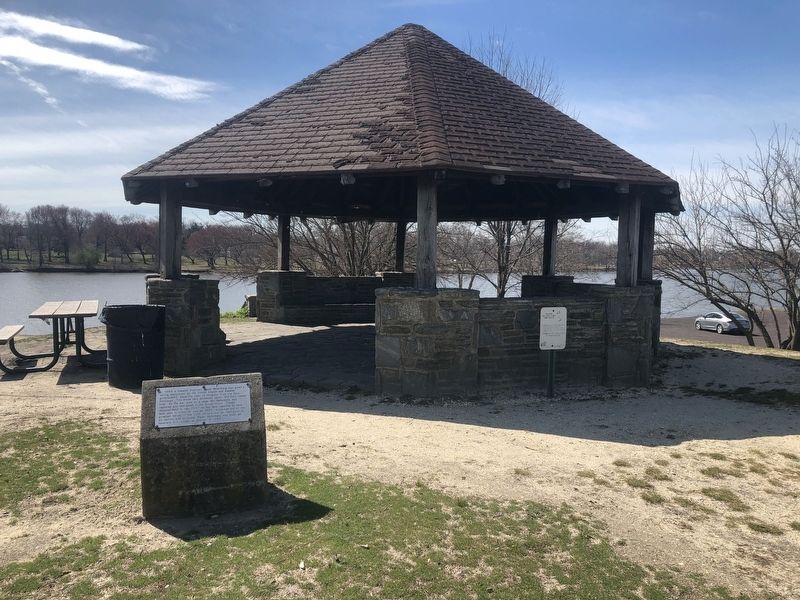
Location. 39° 55.62′ N, 75° 3.582′ W. Marker is in Cherry Hill, New Jersey, in Camden County. It is at the intersection of Park Boulevard and Donahue Avenue, on the right when traveling east on Park Boulevard. Touch for map. Marker is at or near this postal address: 202 Park Blvd, Cherry Hill NJ 08002,
this page online

Regionally, this marker is in South Jersey and in Greater Philadelphia. It is also in the American Northeast, in the Mid-Atlantic, and on the Eastern Seaboard. Globally, it is in the North Atlantic Region, North America, the Western Hemisphere, the Western World, and the Anglosphere. Historically, it finds itself in what was once New Netherland and also one of the original Thirteen Colonies.
Other nearby markers. At least 8 other markers are within walking distance of this marker: Holocaust Memorial (within shouting distance of this marker); Jose P. Rizal (within shouting distance of this marker); Bataan Death March Memorial (within shouting distance of this marker); Freedom Summer Memorial (about 300 feet away, measured in a direct line); Ronald M. Mayercik Memorial (about 400 feet away); POW ★ MIA (about 400 feet away); Polish American Congress (about 500 feet away); Veteran's Island (approx. 0.3 miles away). Touch for a list and map of all markers in Cherry Hill.
Credits. This page was last revised on March 15, 2020. It was originally submitted on March 15, 2020, by Devry Becker Jones of Washington, District of Columbia. This page has been viewed 336 times since then and 35 times this year. Photos: 1, 2. submitted on March 15, 2020, by Devry Becker Jones of Washington, District of Columbia.
