Haddon Heights in Camden County, New Jersey — The American Northeast (Mid-Atlantic)
Historic Haddon Heights
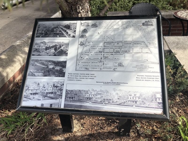
[Marker is a collection of photos with captions:]
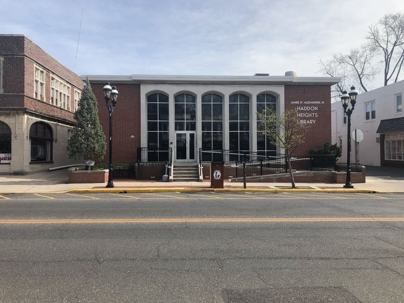
These historic photos were taken in 1912 from the cupola of the old Borough Hall (where the library currently stands).
Historic Haddon Heights Real Estate Company Map, drawn by Joseph J.H. Pohl.
Erected by The Haddon Heights Historical Society in memory of Lynn Laitman.
Topics. This historical marker is listed in these topic lists: Arts, Letters, Music • Settlements & Settlers. A significant historical year for this entry is 1912.
Location. 39° 52.916′ N, 75° 3.543′ W. Marker is in Haddon Heights, New Jersey, in Camden County. It is on Station Avenue just west of West Atlantic Avenue, on the left when traveling west. Touch for map. Marker is at or near this postal address: 604 Station Ave, Haddon Heights NJ 08035, United States of America. Touch for directions.

Regionally, this marker is in South Jersey and in Greater Philadelphia. It is also in the American Northeast, in the Mid-Atlantic, and on the Eastern Seaboard. Globally, it is in the North Atlantic Region, North America, the Western Hemisphere, the Western World, and the Anglosphere. Historically,
this page online
Other nearby markers. At least 8 other markers are within walking distance of this marker: Haddon Heights and the Railroad (within shouting distance of this marker); "The Letter" (about 400 feet away, measured in a direct line); Haddon Heights and the White Horse Pike (about 700 feet away); Haddon Heights Veterans Memorial (approx. 0.3 miles away); The Haddon Heights "Log Cabin" (approx. 0.3 miles away); Albertson Memorial Drinking Fountain (approx. 0.3 miles away); Crystal Lake (approx. 0.3 miles away); In Memory Of Norman F. Hoff (approx. 0.3 miles away). Touch for a list and map of all markers in Haddon Heights.
Credits. This page was last revised on March 15, 2020. It was originally submitted on March 15, 2020, by Devry Becker Jones of Washington, District of Columbia. This page has been viewed 488 times since then and 42 times this year. Photos: 1, 2. submitted on March 15, 2020, by Devry Becker Jones of Washington, District of Columbia.
