Near Henrieville in Garfield County, Utah — The American Mountains (Southwest)
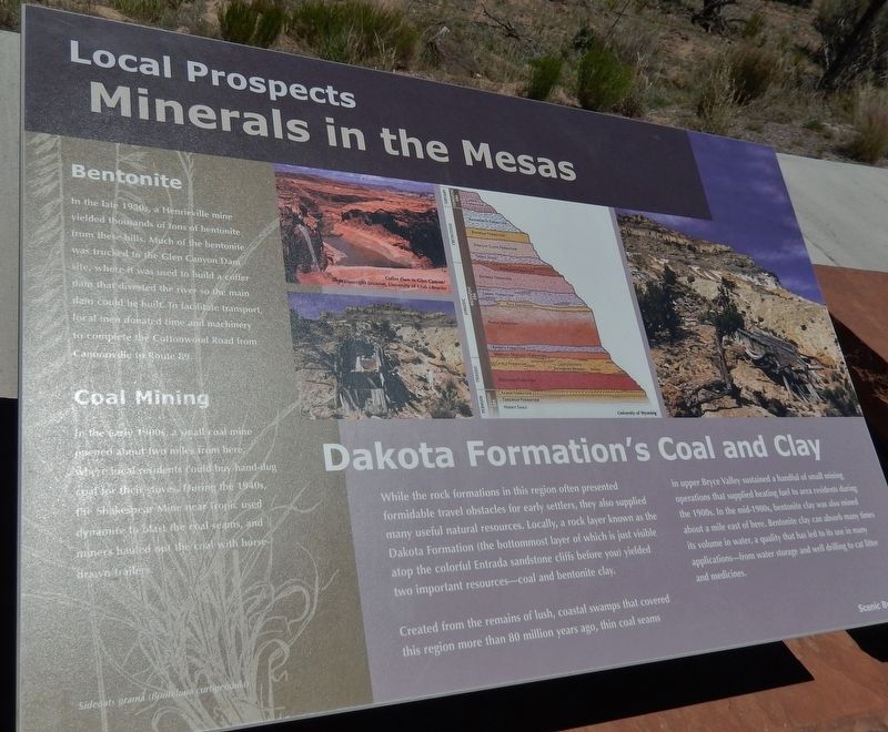
Minerals in the Mesas
Local Prospects
Dakota Formationís Coal and Clay
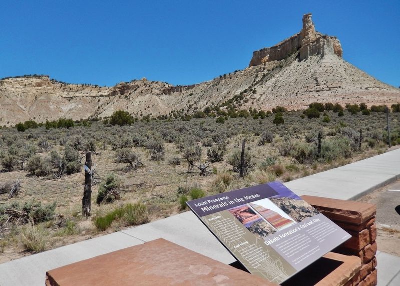
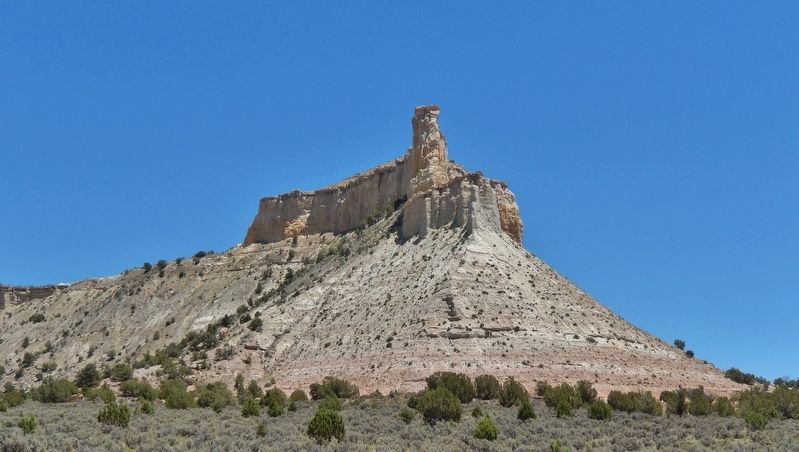
While the rock formations in this region often presented formidable travel obstacles for early settlers, they also supplied many useful natural resources. Locally, a rock layer known as the Dakota Formation (the bottommost layer of which is just visible atop the colorful Entrada sandstone cliffs before you) yielded two important resources — coal and bentonite clay.
Created from the remains of lush, coastal swamps that covered this region more than 80 million years ago, thin coal seams in upper Bryce Valley sustained a handful of small mining operations that supplied heating fuel to area residents during the 1900s. In the mid-1900s, bentonite clay was also mined about a mile east of here. Bentonite clay can absorb many times its volume in water, a quality that has led to its use in many applications — from water storage and well drilling to cat litter and medicines.
Bentonite
In the late 1930ís, a Henrieville mine yielded thousands of tons of bentonite from these hills. Much of the bentonite was trucked to the Glen Canyon Dam site, where it was used to build a coffer dam that diverted the river so the main dam could be built. To facilitate transport, local men donated time and machinery to complete the Cottonwood Road from Cannonville to Route 89.
Coal Mining
In the early 1900s, a small coal mine opened about two miles from here, where local residents could buy hand-dug coal for their stoves. During the 1940ís, the Shakespear mine near Tropic used dynamite to blast the coal seams, and miners hauled out the coal with horse-drawn trailers.
Topics. This historical marker is listed in this topic list: Industry & Commerce.
Location. 37° 33.613′ N, 112° 1.465′ W. Marker is near Henrieville, Utah, in Garfield County. Marker is on Utah Route 12 at milepost 27, on the right when traveling west. Marker is located in a pull-out on the north side of the highway, about 2 miles west of Henrieville. Touch for map. Marker is in this post office area: Henrieville UT 84736, United States of America. Touch for directions.
Other nearby markers. At least 8 other markers are within 10 miles of this marker, measured as the crow flies. Stories of Promise Rock (here, next to this marker); Loseeville (approx. 4Ĺ miles away); Tropic Pioneers (approx. 5Ĺ miles away); Bryce Amphitheater (approx. 8.9 miles away); Streetscape (approx. 9.1 miles away); Bryce Canyon Lodge (approx. 9.1 miles away); Post-War Service Station (approx. 9.1 miles away); Wheeling through the Years (approx. 9.1 miles away).
Credits. This page was last revised on March 16, 2020. It was originally submitted on March 16, 2020, by Cosmos Mariner of Cape Canaveral, Florida. This page has been viewed 161 times since then and 47 times this year. Photos: 1, 2, 3. submitted on March 16, 2020, by Cosmos Mariner of Cape Canaveral, Florida.


