The Vineyards in Tallahassee in Leon County, Florida — The American South (South Atlantic)
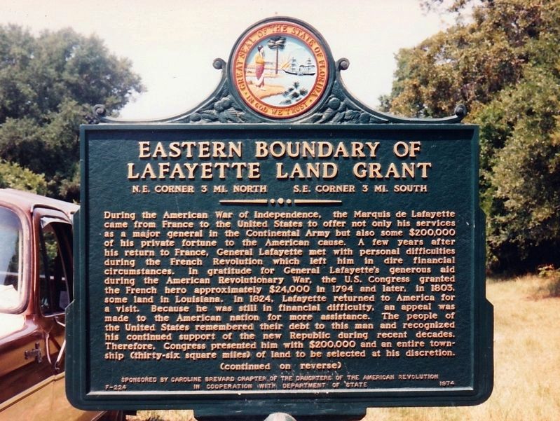
Eastern Boundary of Lafayette Land Grant
N.E. Corner 3 mi. North S.E. Corner 3 mi. South
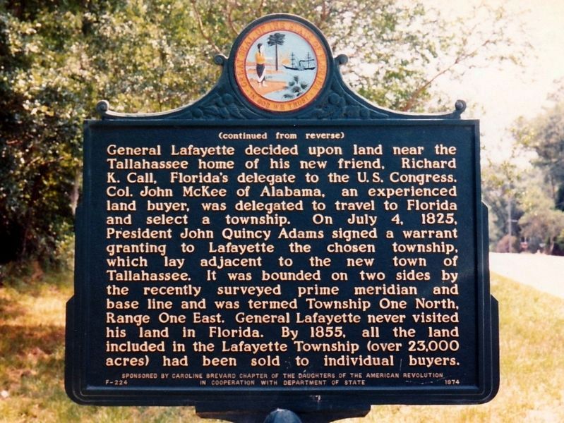
During the American War of Independence, the Marquis de Lafayette came from France to the United States to offer not only his personal services as a major general in the Continental Army but also some $200,000 of his private fortune to the American cause. A few years after his return to France, General Lafayette met with personal difficulties during the French Revolution which left him in dire financial circumstances. In gratitude for General Lafayette's generous aid during the American Revolutionary War, the U.S. Congress granted the French hero approximately $24,000 in 1794 and later, in 1803, some land in Louisiana. In 1824, Lafayette returned to America for a visit. Because he was still in financial difficulty, an appeal was made to the American nation for more assistance. The Congress and people of the United States remembered their debt to this man and recognized his continued support of the new Republic during recent decades. Therefore, he was presented with another $200,000 and an entire township (thirty-six square miles) of land to be selected at his discretion.
Erected 1974 by Caroline Brevard Chapter of the Daughters of the American Revolution in cooperation with Department of State. (Marker Number F-224.)
Topics and series. This historical marker is listed in these topic lists: Settlements & Settlers • War, US Revolutionary. In addition, it is included in the Daughters of the American Revolution, and the Former U.S. Presidents: #06 John Quincy Adams series lists. A significant historical date for this entry is July 4, 1825.
Location. Marker has been reported missing. It was located near 30° 28.743′ N, 84° 10.555′ W. Marker was in Tallahassee, Florida, in Leon County. It was in The Vineyards. Marker was on Mahan Drive (U.S. 90) 0.1 miles east of Arendell Way, on the right when traveling west. Touch for map. Marker was in this post office area: Tallahassee FL 32308, United States of America. Touch for directions.
Other nearby markers. At least 8 other markers are within 4 miles of this location, measured as the crow flies. Munree (Fleischmann) Cemetery of Welaunee Plantation (approx. one mile away); The Mission Of San Pedro y San Pablo de Patale (approx. 1.8 miles away); Hickory Hill Cemetery of Welaunee Plantation (approx. 2 miles away); Under Cover of Corn (approx. 2.9 miles away); Tallahassee National Cemetery (approx. 3.8 miles away); Tallahassee National Cemetery Carillon (approx. 3.9 miles away); The "Luraville Locomotive" (approx. 4 miles away); a different marker also named The Luraville Locomotive (approx. 4 miles away). Touch for a list and map of all markers in Tallahassee.
More about this marker. Road construction on US 90 doomed this marker.
Credits. This page was last revised on February 12, 2023. It was originally submitted on March 16, 2020, by Tim Fillmon of Webster, Florida. This page has been viewed 551 times since then and 89 times this year. Photos: 1, 2. submitted on March 16, 2020, by Tim Fillmon of Webster, Florida. • Bernard Fisher was the editor who published this page.

