Charters in Lewis County, Kentucky — The American South (East South Central)
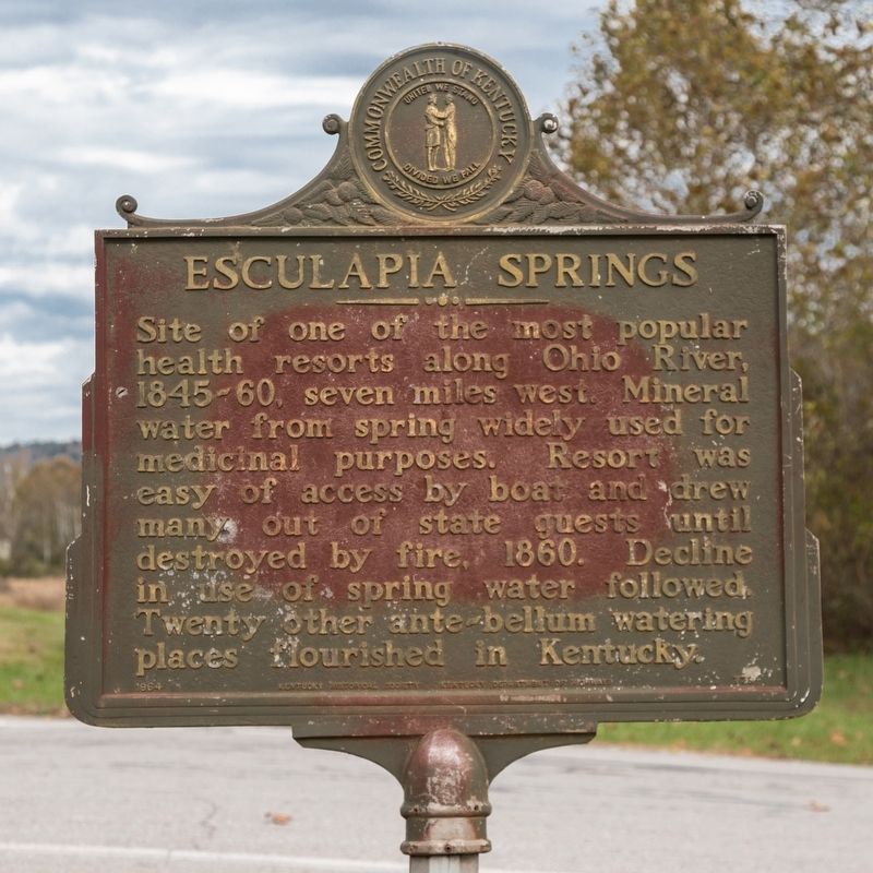
Esculapia Springs
Erected 1964 by Kentucky Historical Society and Kentucky Department of Highways. (Marker Number 778.)
Topics and series. This historical marker is listed in this topic list: Parks & Recreational Areas. In addition, it is included in the Kentucky Historical Society series list. A significant historical year for this entry is 1860.
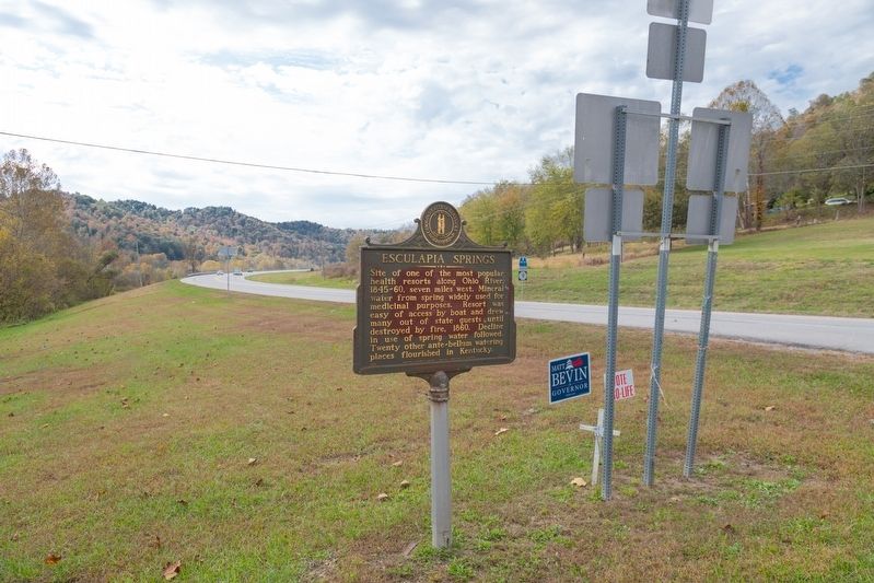
Location. 38° 34.35′ N, 83° 25.99′ W. Marker is in Charters, Kentucky, in Lewis County. Marker is at the intersection of Kentucky Route 9 and Kentucky Route 989, on the left when traveling west on State Route 9. Touch for map. Marker is at or near this postal address: 189 Charters Dr, Vanceburg KY 41179, United States of America. Touch for directions.
Other nearby markers. At least 8 other markers are within 7 miles of this marker, measured as the crow flies. Magnificent Pin Oak (approx. 1.1 miles away); Route for Horses and Cattle (approx. 6.1 miles away); Three Tanyards (approx. 6.3 miles away); Commercial Hotel (approx. 6˝ miles away); Halbert House (approx. 6˝ miles away); Vanceburg Depot (approx. 6˝ miles away); Stamper Block (approx. 6.6 miles away); Hickle’s Pool Room (approx. 6.6 miles away).

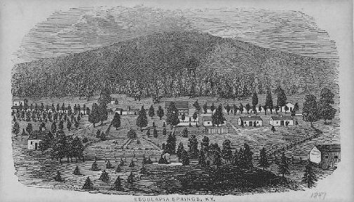
Wood block print, Kentucky Historical Society Martin F. Schmidt Collection, 1847
3. Esculapia Springs, Kentucky (Sulphur Springs)
Page from from Collins’ Historical Sketches of Kentucky, Cincinnati, 1847. “Esculapia or Sulphur Springs is located in Lewis County. This celebrated watering place is situated in a romantic valley, surrounded by tall hills of easy ascent, from which the view is picturesque and enchanting. The improvements have been greatly extended within a few years, and now afford ample accommodations for 200 visitors. There are two springs, one of white sulphur, the other Chalybeate, said to be equal if not superior to the waters of similar kind in Virginia.”
Credits. This page was last revised on August 24, 2021. It was originally submitted on March 18, 2020, by J. J. Prats of Powell, Ohio. This page has been viewed 959 times since then and 134 times this year. Photos: 1, 2, 3. submitted on March 18, 2020, by J. J. Prats of Powell, Ohio.

