Westminister in Collin County, Texas — The American South (West South Central)
Elm Grove Cemetery
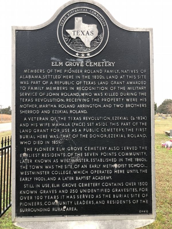
Members of the pioneer Roland family, natives of Alabama, settled here in the 1830s. Land at this site was part of a Republic of Texas land grant awarded to family members in recognition of the military service of John Roland, who was killed during the Texas Revolution. Receiving the property were his mother, Martha Roland Arrington, and two brothers Sherrod and Ezekial Roland.
A veteran of the Texas Revolution, Ezekial (b. 1824) and his wife Mahala (Pace) set aside this part of the land grant for use as a public cemetery. The first burial was that of the donor, Ezekiel Roland, who died in 1859.
The pioneer Elm Grove Cemetery also served the earliest residents of the Seven Points community, later known as Westminster. Established in the 1860s, the town was the site of an early Methodist school, Westminster College, which operated here until the early 1900s, and later a Baptist Academy.
Still in use, Elm Grove Cemetery contains over 1500 known graves and 250 unidentified gravesites. For over 100 years it has served as the burial site of pioneers, community leaders, and residents of the surrounding rural area.
(1981).
Erected 1981 by Texas Historical Commission. (Marker Number 1464.)
Topics. This historical marker is listed in these topic lists: Cemeteries & Burial Sites • Churches & Religion • Settlements & Settlers. A significant historical year for this entry is 1859.
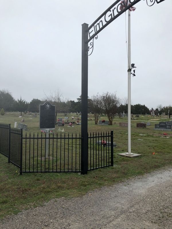
Location. 33° 22.33′ N, 96° 28.946′ W. Marker is in Westminister, Texas, in Collin County. Marker is on Highway 480, on the right when traveling north. Touch for map. Marker is at or near this postal address: 13653 County Road 480, Anna TX 75409, United States of America. Touch for directions.
Other nearby markers. At least 8 other markers are within 6 miles of this marker, measured as the crow flies. Anna Train Depot (approx. 4.1 miles away); A. Sherley & Bro. Hardware Store (approx. 4.1 miles away); First Christian Church of Anna (approx. 4.1 miles away); Public Education in Anna (approx. 4.2 miles away); Mantua (approx. 4.8 miles away); Grounds Cemetery (approx. 5.3 miles away); American Legion Memorial (approx. 6 miles away); Collin McKinney (approx. 6 miles away).
Credits. This page was last revised on March 20, 2020. It was originally submitted on March 20, 2020, by J Frye of Fort Worth, Texas. This page has been viewed 260 times since then and 32 times this year. Photos: 1, 2. submitted on March 20, 2020, by J Frye of Fort Worth, Texas. • J. Makali Bruton was the editor who published this page.

