South Nashville in Davidson County, Tennessee — The American South (East South Central)
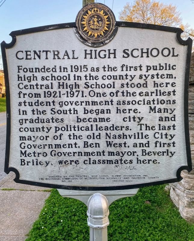
Central High School
Erected 1997 by The Central High School Alumni Association Inc.; The Historical Commission of Metropolitan Nashville and Davidson County. (Marker Number 100.)
Topics and series. This historical marker is listed in this topic list: Education. In addition, it is included in the Tennessee, The Historical Commission of Metropolitan Nashville and Davidson County series list. A significant historical year for this entry is 1915.
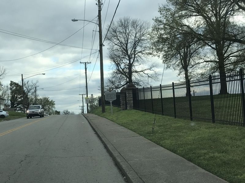
Location. 36° 8.117′ N, 86° 45.879′ W. Marker is in Nashville, Tennessee, in Davidson County. It is in South Nashville. Marker is on Rains Avenue just south of Southgate Avenue, on the right when traveling south. Touch for map. Marker is at or near this postal address: 146 Rains Ave, Nashville TN 37203, United States of America. Touch for directions.
Other nearby markers. At least 8 other markers are within walking distance of this marker. Cumberland Park (approx. 0.2 miles away); Captain John Rains (approx. ¼ mile away); Vine Hill / Donau (approx. 0.3 miles away); Merritt House (approx. half a mile away); First Steam Locomotive (approx. half a mile away); Dudley Park (approx. 0.6 miles away); United Record Pressing (approx. 0.6 miles away); May Hosiery Mills (approx. 0.6 miles away). Touch for a list and map of all markers in Nashville.
Credits. This page was last revised on February 7, 2023. It was originally submitted on March 23, 2020, by Duane and Tracy Marsteller of Murfreesboro, Tennessee. This page has been viewed 570 times since then and 81 times this year. Photos: 1. submitted on May 28, 2021, by Shane Oliver of Richmond, Virginia. 2. submitted on March 23, 2020, by Duane and Tracy Marsteller of Murfreesboro, Tennessee. • Devry Becker Jones was the editor who published this page.

