Old Torrance in Los Angeles County, California — The American West (Pacific Coastal)
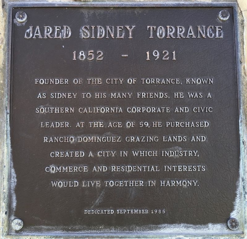
Jared Sidney Torrance
1852 - 1921
Photographed by Craig Baker, March 24, 2020
1. Jared Sidney Torrance Marker
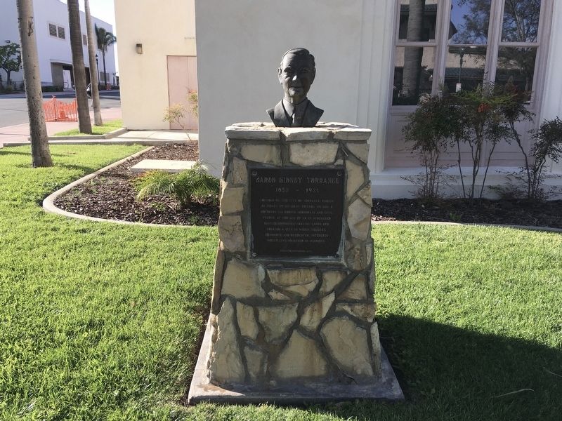
Founder of the city of Torrance, known as Sidney to his many friends, he was a Southern California corporate and civic leader. At the age of 59, he purchased Rancho Dominguez grazing lands and created a city in which industry, commerce and residential interests would live together in harmony.
Erected 1985 by Torrance Historical Society.
Topics. This historical marker is listed in these topic lists: Industry & Commerce • Settlements & Settlers.
Location. 33° 50.1′ N, 118° 19.086′ W. Marker is in Torrance, California, in Los Angeles County. It is in Old Torrance. It is at the intersection of Post Avenue and Cravens Avenue, on the left when traveling east on Post Avenue. Touch for map. Marker is at or near this postal address: 1345 Post Ave, Torrance CA 90501, United States of America. Touch for directions.

Regionally, this marker is in Greater Los Angeles and in the Transverse Ranges. It is also on the American Pacific Coast. Globally, it is in North America, on the Ring of Fire, on the Pacific Rim, in the Western Hemisphere, in the Western
this page online
Other nearby markers. At least 8 other markers are within 4 miles of this marker, measured as the crow flies: Pacific Electric Railway (approx. 0.4 miles away); Square Base Linotype Machine (approx. 2.1 miles away); Roosevelt Cemetery Veterans Memorial (approx. 2.4 miles away); Goodyear Historical Sign (approx. 3.1 miles away); Mirlo Gate Lodge Tower (approx. 3.3 miles away); Jose Rizal (approx. 3.3 miles away); The Washington Elm (approx. 3.4 miles away); St. John’s Episcopal Church (approx. 3.9 miles away).
Photographed by Craig Baker, March 24, 2020
2. Jared Sidney Torrance Marker
Photographed by Craig Baker, March 24, 2020
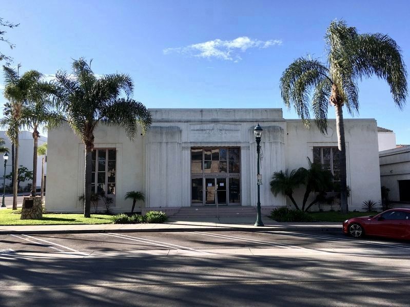
3. Torrance Historical Society Museum
This was the Torrance Public Library from 1936 to 1978. The marker is at far left.
Photographed by Craig Baker, March 24, 2020
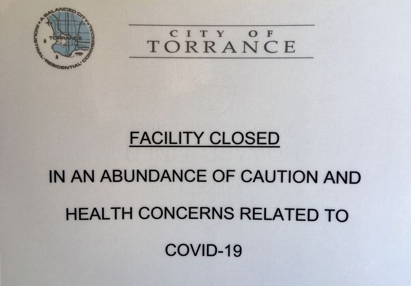
4. Temporary Closure
During the Coronavirus pandemic.
Credits. This page was last revised on June 24, 2024. It was originally submitted on March 31, 2020, by Craig Baker of Sylmar, California. This page has been viewed 767 times since then and 118 times this year. Photos: 1, 2, 3, 4. submitted on March 31, 2020, by Craig Baker of Sylmar, California. • Syd Whittle was the editor who published this page.
