Davis Creek in Modoc County, California — The American West (Pacific Coastal)
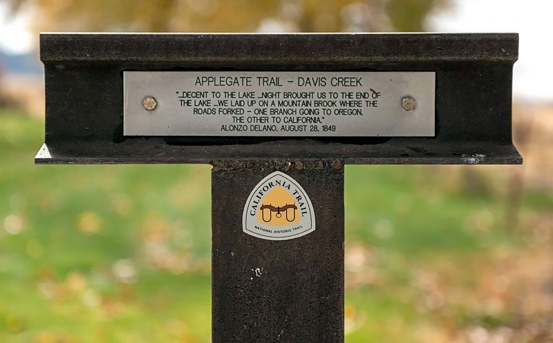
Applegate Trail - Davis Creek
Topics and series. This historical marker is listed in these topic lists: Exploration • Roads & Vehicles • Settlements & Settlers. In addition, it is included in the Applegate Trail, and the California Trail series lists. A significant historical date for this entry is August 28, 1849.
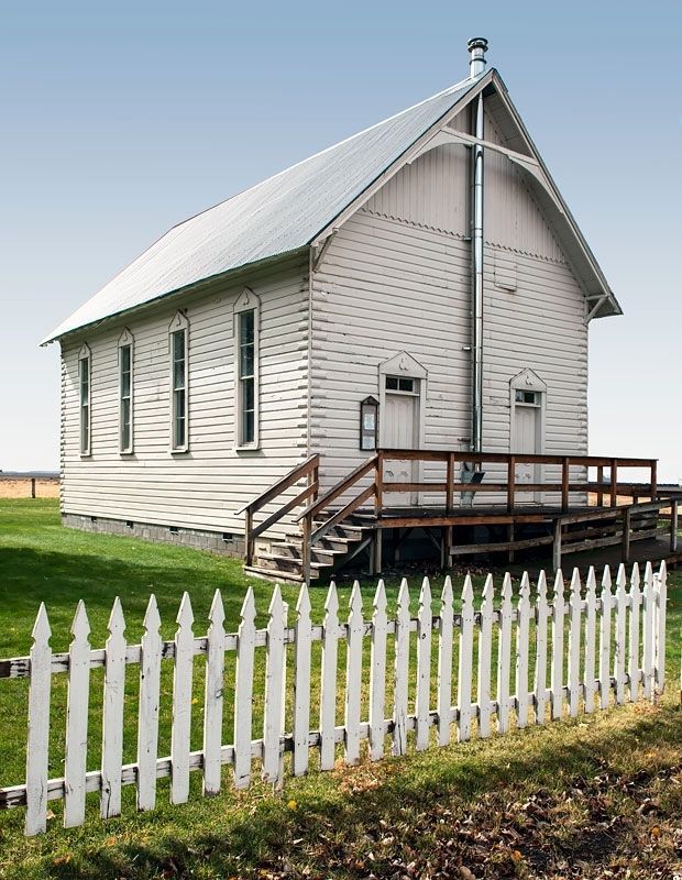
Location. 41° 43.992′ N, 120° 22.548′ W. Marker is in Davis Creek, California, in Modoc County. Marker is at the intersection of Westside Road (County Route 11) and U.S. 395, on the right when traveling east on Westside Road. The marker is on the grounds of the Davis Creek Community Church near the picket fence. Touch for map. Marker is in this post office area: Davis Creek CA 96108, United States of America. Touch for directions.
Other nearby markers. At least 8 other markers are within 10 miles of this marker, measured as the crow flies. Applegate Trail - New Road to Yreka (a few steps from this marker); Applegate Trail - Descent to Goose Lake (approx. 7.6 miles away); South Road - McGinty Creek (approx. 8.1 miles away); Applegate Trail - Through the Forest (approx. 8.7 miles away); Applegate Trail - Descent to Lassen Creek (approx. 9 miles away); Chimney Rock (approx. 9.8 miles away); Applegate Trail - Fandango Pass Descent (approx. 9.9 miles away); The Applegate-Lassen Trail (approx. 10 miles away). Touch for a list and map of all markers in Davis Creek.
Credits. This page was last revised on April 1, 2020. It was originally submitted on March 31, 2020, by Alvis Hendley of San Francisco, California. This page has been viewed 183 times since then and 13 times this year. Photos: 1, 2. submitted on March 31, 2020, by Alvis Hendley of San Francisco, California. • Syd Whittle was the editor who published this page.
Editor’s want-list for this marker. Photo and inscription of the reverse side of this marker. • Can you help?

