Duxbury in Plymouth County, Massachusetts — The American Northeast (New England)
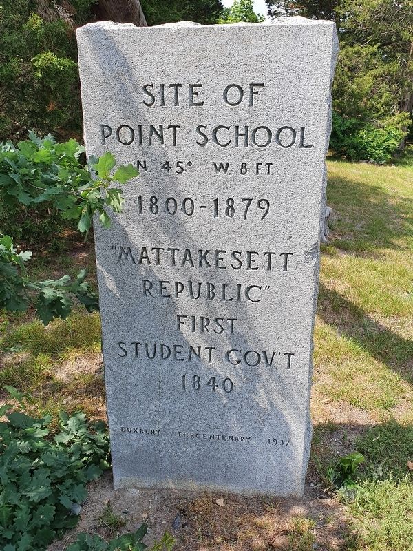
Site of Point School
Photographed by J. Makali Bruton, June 19, 2021
1. Site of Point School Marker
Site of Point School
N. 45° W. 8 ft.
1800-1879
“Mattakesett Republic”
First Student Gov’t
1840
Erected 1937 by Duxbury Tercentenary Committee.
Topics. This historical marker is listed in this topic list: Education. A significant historical year for this entry is 1840.
Location. 42° 2.707′ N, 70° 39.873′ W. Marker is in Duxbury, Massachusetts, in Plymouth County. It is on King Ceasar Road west of Weston Road, on the right when traveling west. Touch for map. Marker is at or near this postal address: 70 King Caesar Road, Duxbury MA 02332, United States of America. Touch for directions.

Regionally, this marker is on the South Shore. It is also in the American Northeast, in New England, and on the Eastern Seaboard. Globally, it is in the North Atlantic Region, North America, the Western Hemisphere, the Western World, and the Anglosphere. Historically, it finds itself in what was once one of the original Thirteen Colonies.
Other nearby markers. At least 8 other markers are within walking distance of this marker: Bumpus Park (within shouting distance of this marker); Ezra Weston (within shouting distance of this marker);
this page online
Photographed by Brian Connors, March 30, 2020
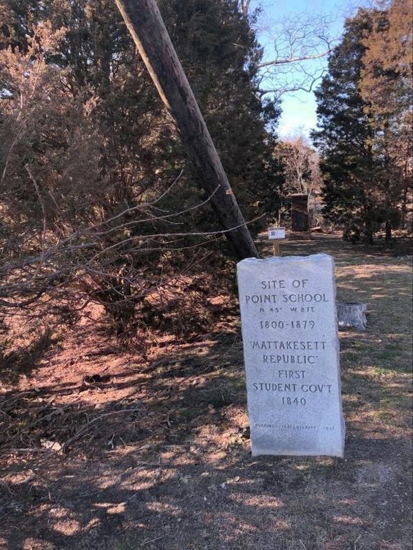
2. Site of Point School Marker
Note the "Honest Dick" Monument in the background. The additional, smaller marker in the distance notes that the area is called the "Spar Soak".
Photographed by Brian Connors, March 30, 2020
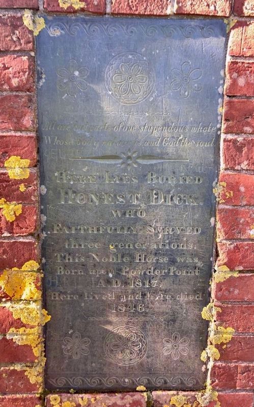
3. Nearby "Honest Dick" Monument inscription
"Honest Dick" was a horse that worked at the nearby "King Caesar" rope making factory.
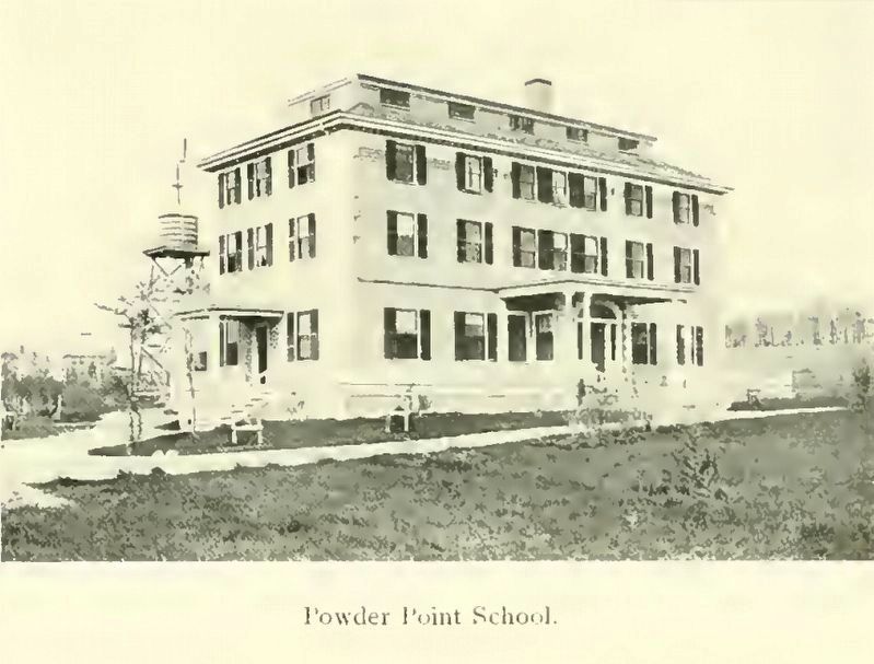
4. Powder Point School
This photo is from "The Pilgrim Town of Duxbury, 1900".
Credits. This page was last revised on June 27, 2021. It was originally submitted on April 1, 2020, by J. Makali Bruton of Washington, District of Columbia. This page has been viewed 650 times since then and 29 times this year. Photos: 1. submitted on June 27, 2021, by J. Makali Bruton of Washington, District of Columbia. 2, 3. submitted on April 1, 2020, by J. Makali Bruton of Washington, District of Columbia. 4. submitted on May 8, 2020, by J. Makali Bruton of Washington, District of Columbia.
