Teasdale in Wayne County, Utah — The American Mountains (Southwest)
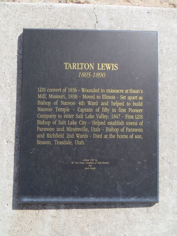
Tarlton Lewis
1805-1890
Photographed by Bill Kirchner, September 29, 2018
1. Tarlton Lewis Marker
Erected 1987 by Mt. View Camp, Daughters of Utah Pioneers and Lewis Family.
Topics and series. This historical marker is listed in this topic list: Religion & Religious Structures. In addition, it is included in the Daughters of Utah Pioneers series list. A significant historical year for this entry is 1836.
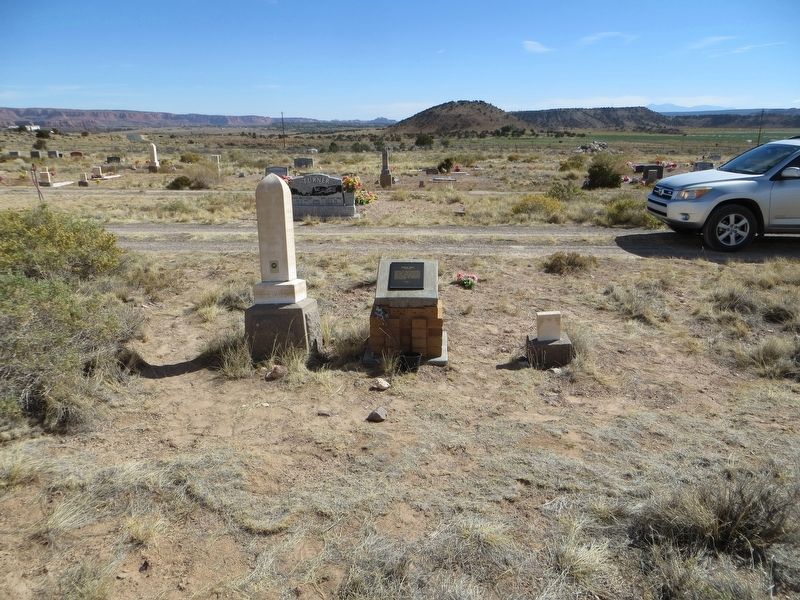
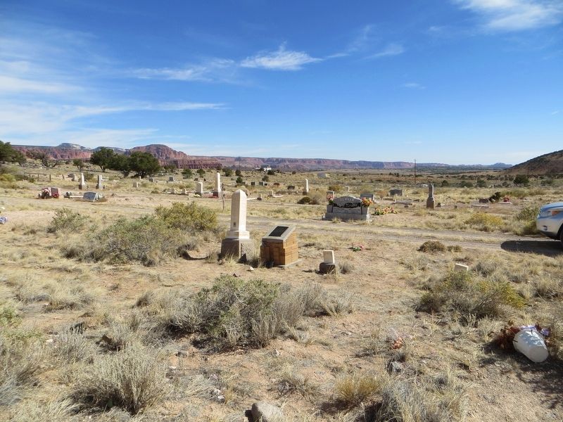
Location. 38° 17.381′ N, 111° 28.587′ W. Marker is in Teasdale, Utah, in Wayne County. It can be reached from Teasdale Road one mile south of Utah Route 24, on the left when traveling south. Marker is in center of cemetery. Touch for map. Marker is in this post office area: Teasdale UT 84773, United States of America. Touch for directions.

Regionally,
this page online

Other nearby markers. At least 8 other markers are within 6 miles of this marker, measured as the crow flies: First Public Building (approx. 0.4 miles away); Nielsen Grist Mill (approx. 2.1 miles away); Torrey Log School and Church (approx. 3.1 miles away); Torrey Log Church and Schoolhouse (approx. 3.1 miles away); Building a Community (approx. 3.1 miles away); World War Veterans (approx. 5.2 miles away); Relief Society Hall (approx. 5.2 miles away); In Memory of Black Hawk War Veterans (approx. 5.2 miles away). Touch for a list and map of all markers in Teasdale.
Photographed by Bill Kirchner, September 29, 2018
2. Tarlton Lewis Marker
Photographed by Bill Kirchner, September 29, 2018
3. Tarlton Lewis Marker
Credits. This page was last revised on April 2, 2020. It was originally submitted on April 2, 2020, by Bill Kirchner of Tucson, Arizona. This page has been viewed 354 times since then and 24 times this year. Photos: 1, 2, 3. submitted on April 2, 2020, by Bill Kirchner of Tucson, Arizona.
