Keno in Klamath County, Oregon — The American West (Northwest)
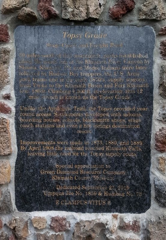
Topsy Grade
Stage Coach and Freight Road
10 miles south of this monument, paths established along the south rim of the Klamath River Canyon by Shasta, Klamath, Pit and Modoc Indians were later followed by Hudson Bay trappers, the U.S. Army pack trains and in the early 1870's, supply wagons from Yreka to the Klamath Basin and Fort Klamath (est. 1863). Climbing 1,500 ft. in elevation, this 12 mile stretch is known as the Topsy Grade.
Unlike the Applegate Trail, the Topsy provided year round access. Settlement developed with saloons, boarding houses, schools, blacksmith shops, stage coach station and even a hot springs destination resort.
Improvements were made in 1873, 1880, and 1889. By April 1908 the railroad reached Klamath Falls, leaving little need for the Topsy supply route.
Special appreciation to Green Diamond Resource Company, Klamath County Museum.
Erected 2019 by Umpqua Joe Chapter 1859 & Humbug No. 73 E Clampus Vitus, Green Diamond Resource and Klamath County Museum.
Topics and series. This historical marker is listed in these topic lists: Roads & Vehicles • Settlements & Settlers. In addition, it is included in the E Clampus Vitus series list. A significant historical month for this entry is April 1908.
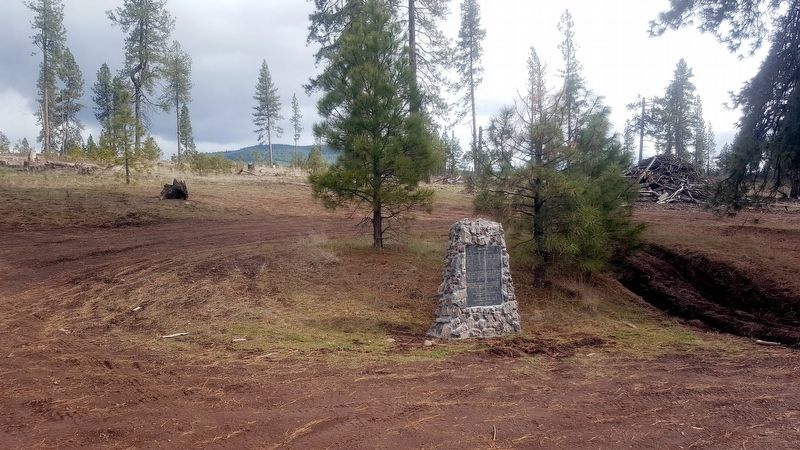
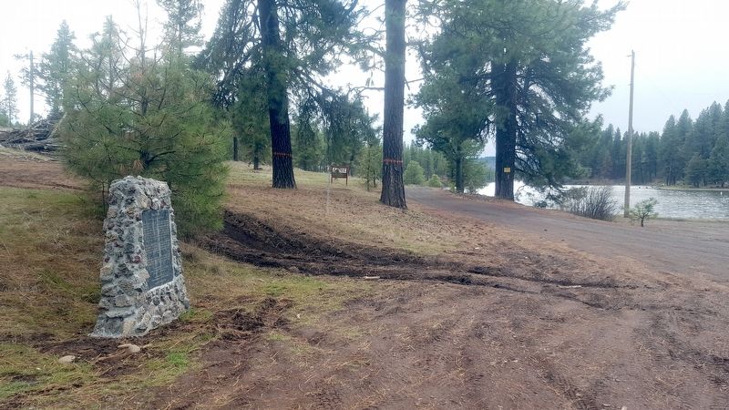
Location. 42° 8.132′ N, 122° 1.776′ W. Marker is in Keno, Oregon, in Klamath County. Marker is on an un-named dirt road south of Green Springs Highway (Oregon Route 66) when traveling south. Touch for map. Marker is in this post office area: Keno OR 97627, United States of America. Touch for directions.
Other nearby markers. At least 8 other markers are within 4 miles of this marker, measured as the crow flies. Applegate Trail (about 400 feet away, measured in a direct line); a different marker also named The Applegate Trail (about 500 feet away); Klamath River Crossing (about 500 feet away); Chase Stage Station (approx. 0.8 miles away); Second Klamath River Ford (approx. 1.1 miles away); Spencer Creek Crossing / Camp Day (approx. 1.2 miles away); Cooper Stage - Station Site (approx. 3.1 miles away); Bear Valley (approx. 3.2 miles away). Touch for a list and map of all markers in Keno.
More about this marker. This marker replaces a previous marker that existed at this site that was monumented and dedicated by the Daughters of the American Colonists in 1970. Due to constant vandalism, the original marker was relocated to the Klamath County Museum in 2008 where it resides today.
Related marker. Click here for another marker that is related to this marker.
Credits. This page was last revised on April 25, 2020. It was originally submitted on April 6, 2020, by Douglass Halvorsen of Klamath Falls, Oregon. This page has been viewed 390 times since then and 70 times this year. Photos: 1, 2, 3. submitted on April 24, 2020, by Douglass Halvorsen of Klamath Falls, Oregon. • Syd Whittle was the editor who published this page.


