Keno in Klamath County, Oregon — The American West (Northwest)
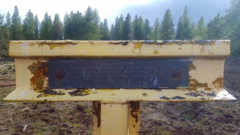
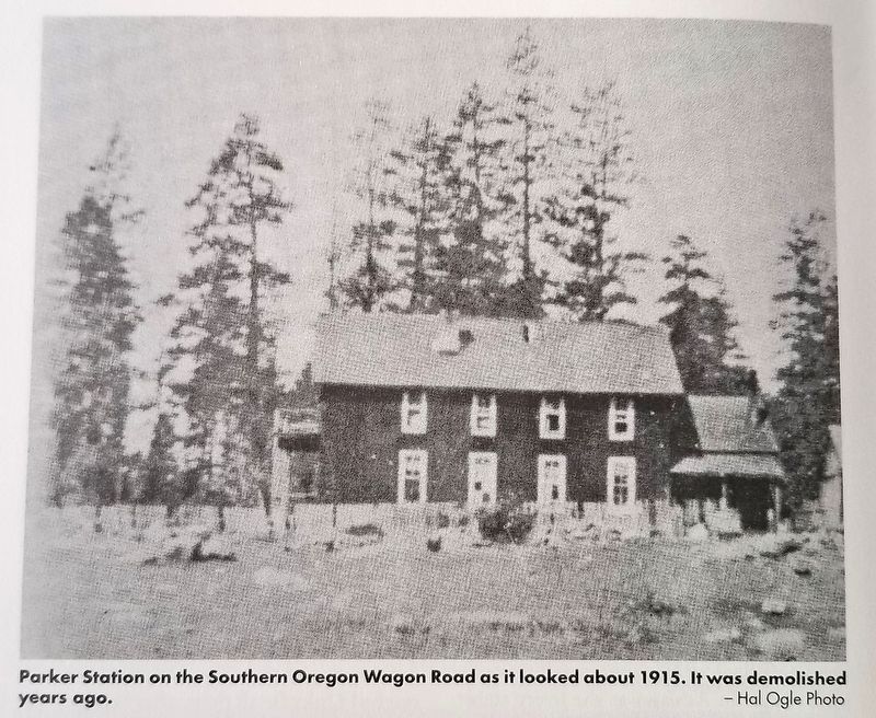
Parker Station
Formerly the halfway house, between Ashland and Linkville (Klamath Falls). Henry Duncand first owner 1871. Sold to Wm. S. Parker 1876. Abandoned about 1915.
Erected 1976 by Klamath County Historical Society.
Topics. This historical marker is listed in these topic lists: Industry & Commerce • Settlements & Settlers. A significant historical year for this entry is 1871.
Location. 42° 7.753′ N, 122° 13.044′ W. Marker is in Keno, Oregon, in Klamath County. Marker can be reached from Green Springs Highway (Oregon Route 66). Touch for map. Marker is in this post office area: Keno OR 97627, United States of America. Touch for directions.
Other nearby markers. At least 8 other markers are within 8 miles of this marker, measured as the crow flies. Weyerhaeuser Camp 4 (approx. 0.7 miles away); Freight and Stage Road (approx. 4.4 miles away); Old Pokegama (approx. 4.7 miles away); Weyerhaeuser Camp 3 (approx. 5.1 miles away); Potter's Mill (approx. 5.4 miles away); Horn's Camp 1895 - 1898 (approx. 5.8 miles away); New Pokegama - 1903-1909 (approx. 6.9 miles away); Snow (approx. 7.2 miles away). Touch for a list and map of all markers in Keno.
More about this marker. A short hike north from a dirt track road is required to access this marker.
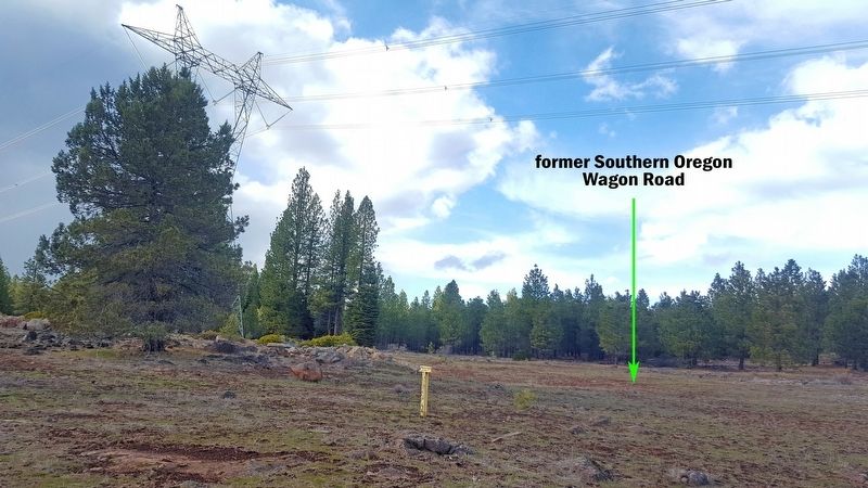
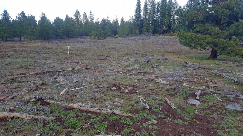
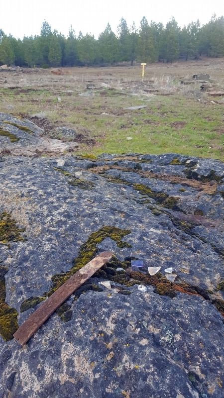
Regarding Parker Station. Parker Station was located along the Southern Oregon Wagon Road. Nothing remains at this site except for a few deteriorating pieces of wood, bits of glass, porcelain and metal pieces. It was impossible to notice any traces of the former stage road with human disturbance due to logging and a large transmission power line cutting through the area.
The 1973 edition of Klamath Echoes - Stagecoach to Linkville contains a brief summary of Parker Station. It was previously owned by Henry Duncan and known as the 'Halfway House' (halfway between Ashland and Linkville (now Klamath Falls). Duncan later sold the Halfway House to William G. Parker a (different middle initial than what is shown on the historical marker). William is remembered for being one of the fifteen members of the Applegate exploring party who laid out the Applegate Trail in 1846. He changed the name to Parker Station. He had a son, Sumner, who married Alice Howard, daughter of Zeno Howard, and they both lived at the station.
Credits. This page was last revised on June 27, 2020. It was originally submitted on April 6, 2020, by Douglass Halvorsen of Klamath Falls, Oregon. This page has been viewed 310 times since then and 30 times this year. Photos: 1, 2, 3, 4, 5. submitted on June 26, 2020, by Douglass Halvorsen of Klamath Falls, Oregon. • Syd Whittle was the editor who published this page.
