East Bank in Nashville in Davidson County, Tennessee — The American South (East South Central)
East Nashville Fire
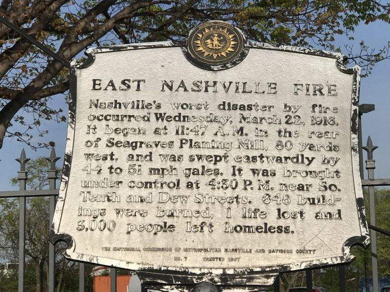
Photographed by Duane and Tracy Marsteller, April 4, 2020
1. East Nashville Fire Marker
Nashville's worst disaster by fire occurred Wednesday, March 22, 1916. It began at 11:47 a.m. in the rear of Seagraves Planing Mill, 80 yards west, and was swept eastwardly by 44 to 51 mph gales. It was brought under control at 4:30 p.m. near So. Tenth and Dew Streets. 648 buildings were burned, 1 life lost and 3,000 people left homeless.
Erected 1967 by The Historical Commission of Metropolitan Nashville and Davidson County. (Marker Number 7.)
Topics and series. This historical marker is listed in this topic list: Disasters. In addition, it is included in the Tennessee, The Historical Commission of Metropolitan Nashville and Davidson County series list. A significant historical date for this entry is March 22, 1916.
Location. 36° 10.515′ N, 86° 46.454′ W. Marker is in Nashville, Tennessee, in Davidson County. It is in East Bank. It is on North 1st Street north of Oldham Street, on the right when traveling north. Touch for map. Marker is in this post office area: Nashville TN 37213, United States of America. Touch for directions.

Regionally, this marker is in Middle Tennessee. It is also in the American South and specifically
this page online
Other nearby markers. At least 8 other markers are within walking distance of this marker: An Urban Greenway (approx. 0.4 miles away); Site of Original Gas Works (approx. half a mile away); Journey West: Forced Removal of the Cherokee (approx. half a mile away); First Bridge Over the Cumberland (approx. half a mile away); Victory Memorial Bridge (approx. half a mile away); Houston's Law Office (approx. half a mile away); Nashville Inn (approx. 0.6 miles away); Buried City (approx. 0.6 miles away). Touch for a list and map of all markers in Nashville.
Also see . . . Fires in Tennessee. Tennessee State Library and Archives (Submitted on April 7, 2020, by Duane and Tracy Marsteller of Murfreesboro, Tennessee.)
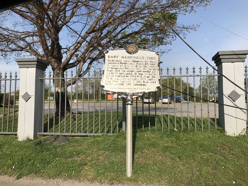
Photographed by Duane and Tracy Marsteller, April 4, 2020
2. East Nashville Fire Marker
Credits. This page was last revised on February 7, 2023. It was originally submitted on April 7, 2020, by Duane and Tracy Marsteller of Murfreesboro, Tennessee. This page has been viewed 501 times since then and 42 times this year. Photos: 1, 2. submitted on April 7, 2020, by Duane and Tracy Marsteller of Murfreesboro, Tennessee. • J. Makali Bruton was the editor who published this page.
