Northwest Nashville in Davidson County, Tennessee — The American South (East South Central)
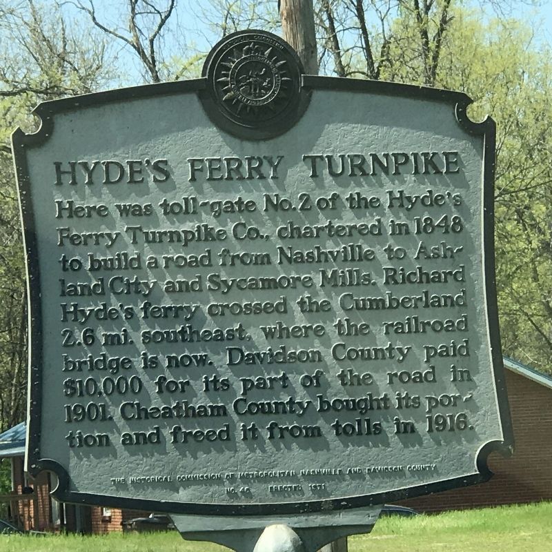
Hyde's Ferry Turnpike
Erected 1971 by The Historical Commission of Metropolitan Nashville and Davidson County. (Marker Number 46.)
Topics and series. This historical marker is listed in these topic lists: Industry & Commerce • Roads & Vehicles. In addition, it is included in the Tennessee, The Historical Commission of Metropolitan Nashville and Davidson County series list. A significant historical year for this entry is 1848.
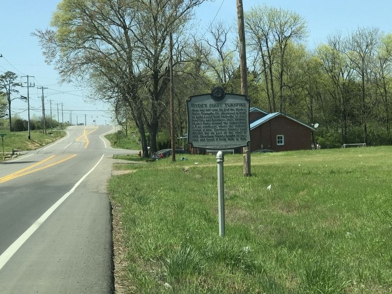
Location. 36° 12.541′ N, 86° 51.846′ W. Marker is in Nashville, Tennessee, in Davidson County. It is in Northwest Nashville. Marker is on Ashland City Highway (Tennessee Route 12) 0.1 miles east of Eatons Creek Road, on the right when traveling west. Touch for map. Marker is at or near this postal address: 4415 Ashland City Highway, Nashville TN 37218, United States of America. Touch for directions.
Other nearby markers. At least 8 other markers are within 4 miles of this marker, measured as the crow flies. Enchanted Hills (approx. 0.4 miles away); The Bordeaux Community and the Martin Luther King, Jr. Bridge/Martin Luther King, Jr. Bridge (approx. 2.3 miles away); Cockrill Bend (approx. 2.6 miles away); Frederick Stump (approx. 2.7 miles away); Captain Alexander "Devil Alex" Ewing (approx. 2.7 miles away); Theodore "Ted" Rhodes (approx. 2.8 miles away); Bells Bend / Scottsboro (approx. 3.1 miles away); Chickasaw Treaty (approx. 3.1 miles away). Touch for a list and map of all markers in Nashville.
Credits. This page was last revised on February 7, 2023. It was originally submitted on April 7, 2020, by Duane and Tracy Marsteller of Murfreesboro, Tennessee. This page has been viewed 564 times since then and 83 times this year. Photos: 1, 2. submitted on April 7, 2020, by Duane and Tracy Marsteller of Murfreesboro, Tennessee. • Devry Becker Jones was the editor who published this page.

