Orangeville in Emery County, Utah — The American Mountains (Southwest)
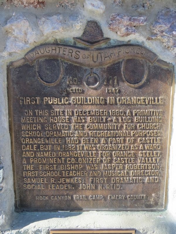
First Public Building in Orangeville
Erected 1947 by Daughters of Utah Pioneers, Rock Canyon Trail Camp. (Marker Number 111.)
Topics and series. This historical marker is listed in this topic list: Settlements & Settlers. In addition, it is included in the Daughters of Utah Pioneers series list. A significant historical month for this entry is December 1880.
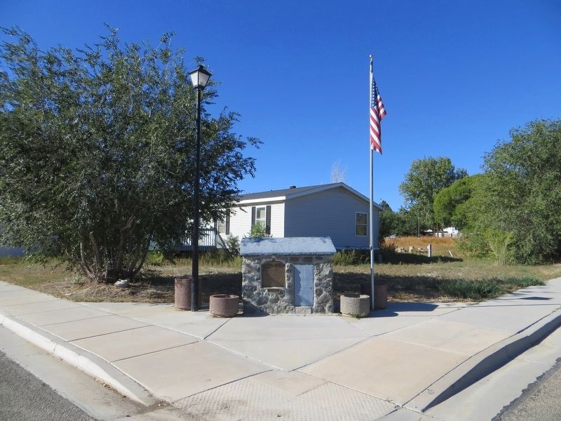
Location. 39° 13.657′ N, 111° 3.314′ W. Marker is in Orangeville, Utah, in Emery County. Marker is at the intersection of West Center Street and South 100 West, on the left when traveling west on West Center Street. Marker is on the southwest corner. Touch for map. Marker is in this post office area: Orangeville UT 84537, United States of America. Touch for directions.
Other nearby markers. At least 8 other markers are within 9 miles of this marker, measured as the crow flies. Old Social Hall (about 600 feet away, measured in a direct line); First Settlers in Castle Dale (approx. 2˝ miles away); Old Ranger Station (approx. 8.4 miles away); Old Bell (approx. 8.4 miles away); Huntington's First Meeting House (approx. 8.4 miles away); North Emery High School (approx. 8.4 miles away); Black Diamond & Oliphant Coal Mines (approx. 8.7 miles away); Huntington (approx. 9 miles away). Touch for a list and map of all markers in Orangeville.
Credits. This page was last revised on April 10, 2020. It was originally submitted on April 10, 2020, by Bill Kirchner of Tucson, Arizona. This page has been viewed 296 times since then and 25 times this year. Photos: 1, 2. submitted on April 10, 2020, by Bill Kirchner of Tucson, Arizona.

