Elmo in Emery County, Utah — The American Mountains (Southwest)
First Public Building
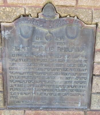
Photographed by Bill Kirchner, September 30, 2018
1. First Public Building Marker
Erected 1959 by Daughters of Utah Pioneers, Lily of the Valley Camp. (Marker Number 256.)
Topics and series. This historical marker is listed in these topic lists: Education • Religion & Religious Structures • Settlements & Settlers. In addition, it is included in the Daughters of Utah Pioneers series list. A significant historical date for this entry is June 10, 1913.
Location. 39° 23.37′ N, 110° 48.987′ W. Marker is in Elmo, Utah, in Emery County. It is on East Main Street east of South 100 East, on the right when traveling east. Touch for map. Marker is in this post office area: Elmo UT 84521, United States of America. Touch for directions.

Regionally, this marker is
this page online

Other nearby markers. At least 8 other markers are within 8 miles of this marker, measured as the crow flies: Tithing Granary (about 300 feet away, measured in a direct line); Charles Winder and Caroline Mills (approx. 2.7 miles away); Cleveland (approx. 3.6 miles away); Wattis (approx. 7.4 miles away); Mohrland (approx. 7.4 miles away); Desert Lake-Victor (approx. 7.4 miles away); Hiawatha (approx. 7.4 miles away); Robber's Roost (approx. 7.4 miles away). Touch for a list and map of all markers in Elmo.
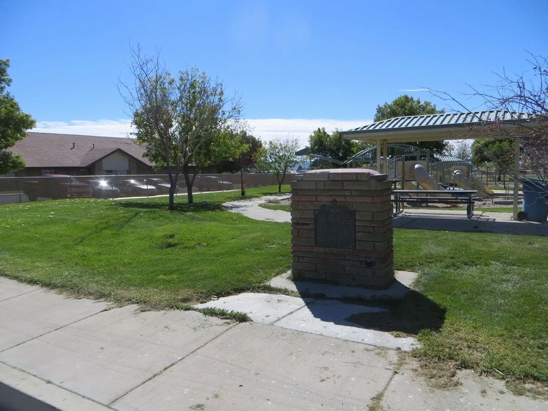
Photographed by Bill Kirchner, September 30, 2018
2. First Public Building Marker
Credits. This page was last revised on April 10, 2020. It was originally submitted on April 10, 2020, by Bill Kirchner of Tucson, Arizona. This page has been viewed 265 times since then and 19 times this year. Photos: 1, 2. submitted on April 10, 2020, by Bill Kirchner of Tucson, Arizona.
