Palmyra in Montgomery County, Tennessee — The American South (East South Central)
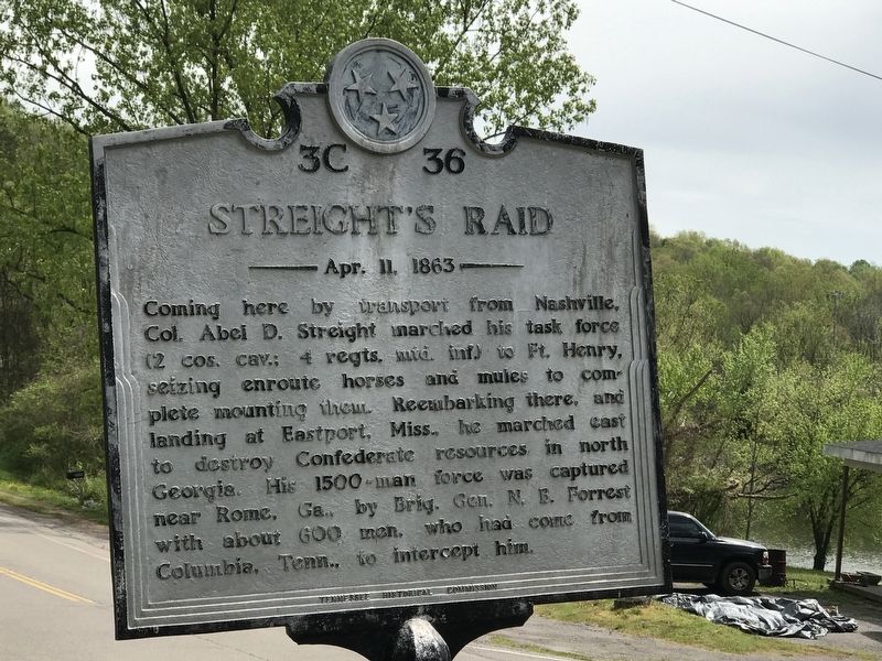
Streight's Raid
April 11, 1863
Erected by Tennessee Historical Commission. (Marker Number 3C 36.)
Topics and series. This historical marker is listed in this topic list: War, US Civil. In addition, it is included in the Tennessee Historical Commission series list. A significant historical date for this entry is April 11, 1863.
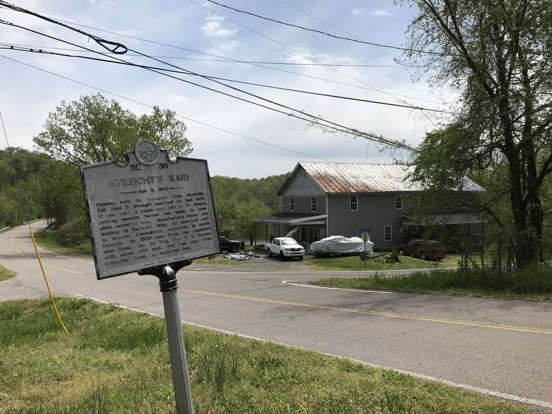
Location. 36° 26.269′ N, 87° 29.151′ W. Marker is in Palmyra, Tennessee, in Montgomery County. Marker is at the intersection of Palmyra Road (Old Tennessee Route 149) and Jarman Hollow Road, on the right when traveling west on Palmyra Road. Touch for map. Marker is in this post office area: Palmyra TN 37142, United States of America. Touch for directions.
Other nearby markers. At least 8 other markers are within 10 miles of this marker, measured as the crow flies. Palmyra Furnace (approx. 0.2 miles away); Lewis/Lyle House (approx. 6.6 miles away); The John T. Cunningham Memorial Bridge (approx. 7.4 miles away); Burt Home Infirmary (approx. 8.7 miles away); Battle of Riggins Hill (approx. 8.7 miles away); Historic Mount Olive Cemetery (approx. 8.9 miles away); Town Spring (approx. 9.2 miles away); Trice's Landing (approx. 9.2 miles away).
Credits. This page was last revised on April 12, 2020. It was originally submitted on April 11, 2020, by Duane and Tracy Marsteller of Murfreesboro, Tennessee. This page has been viewed 338 times since then and 51 times this year. Photos: 1, 2. submitted on April 11, 2020, by Duane and Tracy Marsteller of Murfreesboro, Tennessee. • Bernard Fisher was the editor who published this page.

