Central Business District in Sacramento in Sacramento County, California — The American West (Pacific Coastal)
Site of First and Second State Capitols at Sacramento
Inscription.
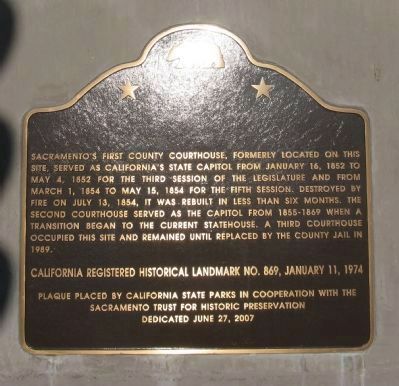
Sacramento’s first county courthouse, formerly located on this site, served as California’s State Capitol from January 16, 1852 to May 4, 1852 for the third session of the legislature and from March 1, 1854 to May 15, 1854 for the fifth session. Destroyed by fire on July 13, 1854, it was rebuilt in less than six months. The second courthouse served as the Capitol from 1855 – 1869 when a transition began to the current Statehouse. A third courthouse occupied this site and remained until replaced by the County Jail in 1989.
Erected 2007 by California State Parks in cooperation with the Sacramento Trust for Historic Preservation, June 27, 2007. (Marker Number 869.)
Topics and series. This historical marker is listed in this topic list: Government & Politics. In addition, it is included in the California Historical Landmarks series list. A significant historical date for this entry is January 16, 1852.
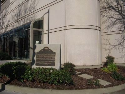
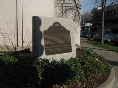
Location. 38° 34.957′ N, 121° 29.824′ W. Marker is in Sacramento, California, in Sacramento County. It is in the Central Business District. Marker is at the intersection of "I" Street and 7th Street, on the right when traveling west on "I" Street. Marker is located at the front of the current Sacramento County Jail. Touch for map. Marker is at or near this postal address: 651 I Street, Sacramento CA 95814, United States of America. Touch for directions.
Other nearby markers. At least 8 other markers are within walking distance of this marker. Old Folsom Powerhouse (about 500 feet away, measured in a direct line); United States Post Office, Courthouse, & Federal Building (about 500 feet away); Pioneer Hall (about 600 feet away); Sacramento Pioneers Society (about 600 feet away); Site of First African Methodist Episcopal Church on the Pacific Coast (about 700 feet away); Sa’ Cumn’e Plaza (approx. 0.2 miles away); A.J. Stevens Monument (approx. 0.2 miles away); Central Pacific’s Other Big Four (approx. 0.2 miles away). Touch for a list and map of all markers in Sacramento.
Regarding Site of First and Second State Capitols at Sacramento. This site was designated as California Registered Historical Landmark No.869 on January 11, 1974.
Also see . . . Sacramento County Courthouse – Built 1910. (Submitted on December 28, 2008, by Syd Whittle of Mesa, Arizona.)

Photographed By Edward H. Mitchell Publishing, S.F., circa Unknown
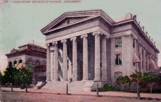
4. Postcard Image of Court House and Hall of Records
This Court House was used as the second State Capitol. The state rented the building until moving to the current Capitol in 1869. The building served Sacramento until the 1960s when a new Court House was built. The original structure on I Street has disappeared and a new county jail now stands on the property.
(Note: There is no description or postmark on postcard. Requires 1 cent stamp for domestic and 2 cents for foreign.)
(Note: There is no description or postmark on postcard. Requires 1 cent stamp for domestic and 2 cents for foreign.)
Credits. This page was last revised on February 7, 2023. It was originally submitted on December 28, 2008, by Syd Whittle of Mesa, Arizona. This page has been viewed 1,421 times since then and 36 times this year. Photos: 1, 2, 3. submitted on December 28, 2008, by Syd Whittle of Mesa, Arizona. 4. submitted on March 15, 2009, by Syd Whittle of Mesa, Arizona.


