Sarasota in Sarasota County, Florida — The American South (South Atlantic)
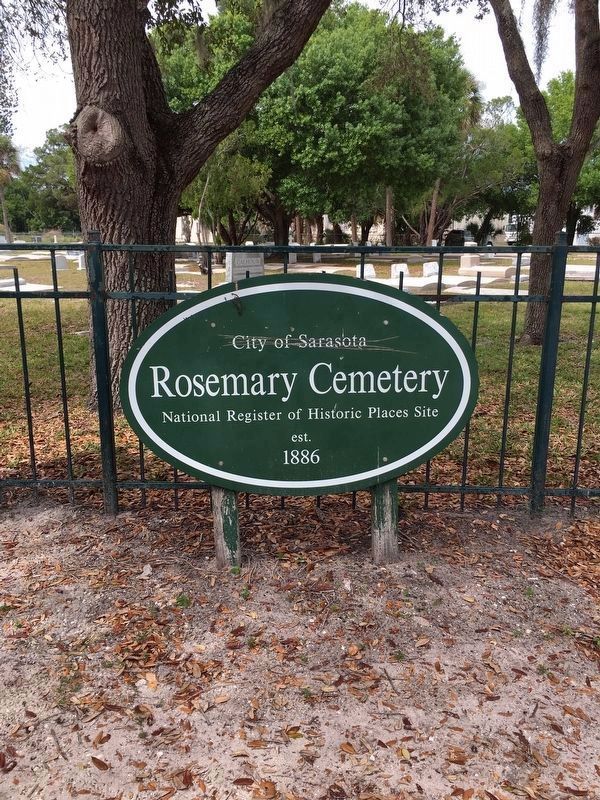
Rosemary Cemetery
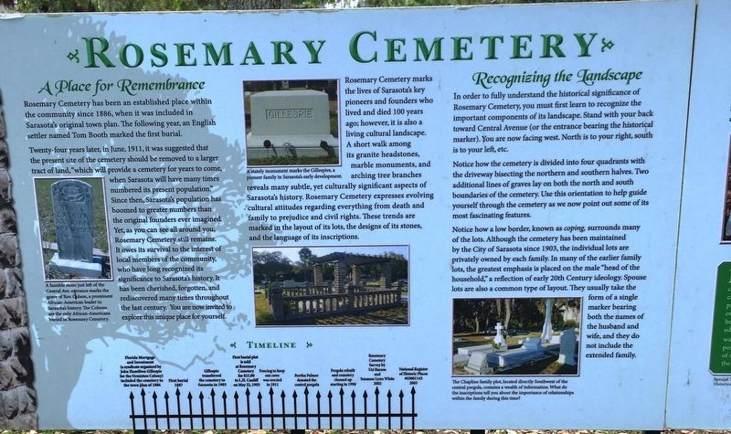
A Place for Remembrance
Rosemary Cemetery has been established place within the community since 1886, when it was included in Sarasota’s original town plan. The following year, an English settler named Tom Booth marked the first burial.
Twenty-four years later in June, 1911, it was suggested that the present site of the cemetery should be removed to a larger tract of land, “which will provide a cemetery for years to come, when Sarasota will have many times numbered its present population.” Since then, Sarasota’s population has boomed to greater numbers than the original founders ever imagined. Yet, as you can see all around you, Rosemary Cemetery still remains. It owes its survival to the interest of local members of the community, who have long recognized its significance to Sarasota’s history. It has been cherished, forgotten, and rediscovered many times throughout the last century. You are now invited to explore this unique place yourself.
Rosemary Cemetery marks the lives of Sarasota’s key pioneers and founders who lived and died 100 years ago; however, it is also a living cultural landscape. A short walk among its granite headstones, marble monuments, and arching tree branches reveals many subtle, yet culturally significant aspects of Sarasota’s history. Rosemary Cemetery expresses evolving cultural attitudes regarding everything from death and family to prejudice and civil rights. These trends are marked in a layout of its lots, the designs of its stones, and the language of its inscriptions.
Recognizing the Landscape
In order to fully understand the historical significance of Rosemary Cemetery, you must first learn to recognized the important components of its landscape. Stand with your back toward Central Avenue (or the entrance bearing the historical marker). You are now facing west. North is to your right, south is to your left, etc.
Notice how the cemetery is divided into four quadrants with the driveway bisecting the northern and southern halves. Two additional lines of graves lay on both the north and south boundaries of the cemetery. Use this orientation to help guide yourself through the cemetery as we now point out some of its most fascinating features.
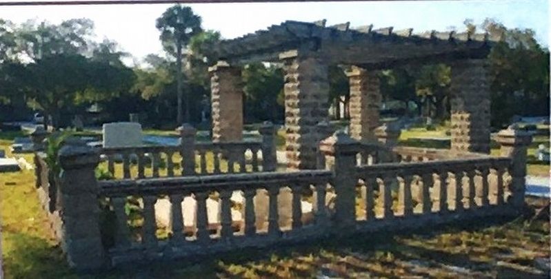
Notice how a low border, known as coping surrounds many of the lots. Although the cemetery has been maintained by the City of Sarasota since 1903, the individual lots are privately owned by each family. In many of the earlier family lots, the greatest emphasis is placed on the male “head of the household,” a reflection of early 20th Century ideology. Spouse lots are also a common type of layout. They usually take the form of a single marker bearing both the names of the husband and wife, and they do not include the extended family.
Erected by The New College Public Archaeology Laboratory.
Topics. This historical marker is listed in these topic lists: Cemeteries & Burial Sites • Settlements & Settlers. A significant historical year for this entry is 1886.
Location. 27° 20.606′ N, 82° 32.564′ W. Marker is in Sarasota, Florida, in Sarasota County. Marker is at the intersection of Central Avenue and 8th Street, on the left when traveling north on Central Avenue. Touch for map. Marker is at or near this postal address: 851 Central Ave, Sarasota FL 34236, United States of America. Touch for directions.
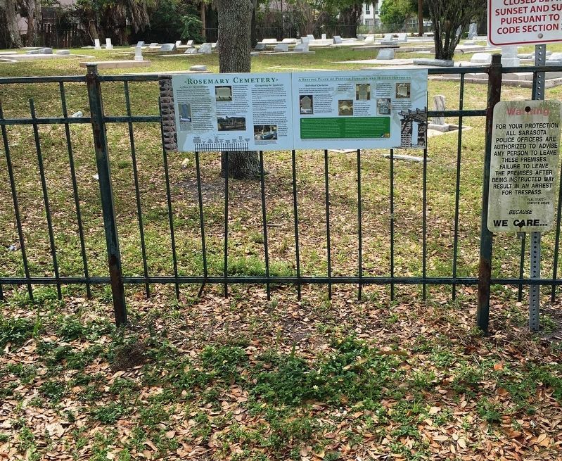
Other nearby markers. At least 8 other markers are within walking distance of this marker. A Resting Place of Pioneer Families and Hidden Histories (here, next to this marker); a different marker also named Rosemary Cemetery (a few steps from this marker); First Black Community (approx. 0.2 miles away); Municipal Auditorium Recreation Center and Hazzard Fountain (approx. ¼ mile away); Sarasota Garden Club (approx. 0.3 miles away); Bidwell-Wood House (approx. 0.4 miles away); Crocker Memorial Church (approx. 0.4 miles away); Yellow Bluffs (approx. 0.4 miles away). Touch for a list and map of all markers in Sarasota.
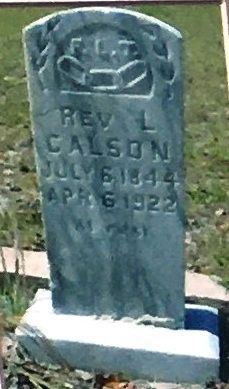
Photographed By Brandon D Cross, February 26, 2020
3. Photo Insert Left: Rev. Colson headstone
Central Ave. entrance marks the
grave of Rev. Colson, a prominent
African-American leader in
Sarasota’s history. The Colsons
are the only African-Americans
buried in Rosemary Cemetery.
Credits. This page was last revised on April 14, 2020. It was originally submitted on April 12, 2020, by Brandon D Cross of Flagler Beach, Florida. This page has been viewed 227 times since then and 24 times this year. Photos: 1, 2, 3, 4, 5, 6. submitted on April 12, 2020, by Brandon D Cross of Flagler Beach, Florida. 7, 8. submitted on April 13, 2020, by Brandon D Cross of Flagler Beach, Florida. • Bernard Fisher was the editor who published this page.
