Near Falmouth in Stafford County, Virginia — The American South (Mid-Atlantic)
Sow…Tend…Harvest
Fredericksburg and Spotsylvania National Military Park
— National Park Service, U.S. Department of the Interior —
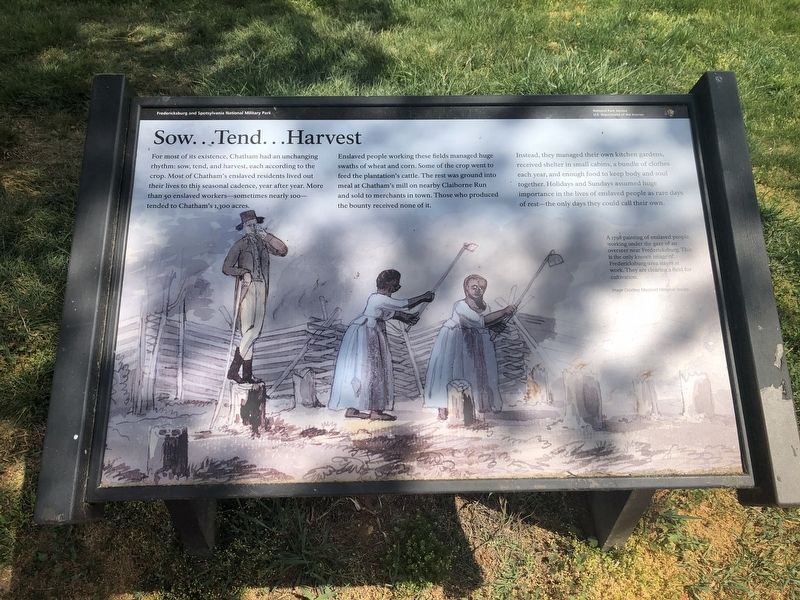
For most of its existence, Chatham had an unchanging rhythm: sow, tend, and harvest, each according to the crop. Most of Chatham's enslaved residents lived out their lives to this seasonal cadence, year after year. More than 50 enslaved workers—sometimes nearly 100—tended to Chatham's 1,300 acres.
Enslaved people working these fields managed huge swaths of wheat and corn. Some of the crop went to feed the plantation's cattle. The rest was ground into meal at Chatham's mill on nearby Claiborne Run and sold to merchants in town. Those who produced the bounty received none of it.
Instead, they managed their own kitchen gardens, received shelter in small cabins, a bundle of clothes each year, and enough food to keep body and soul together. Holidays and Sundays assumed huge importance in the lives of enslaved people as rare days of rest—the only days they could call their own.
[Caption:]
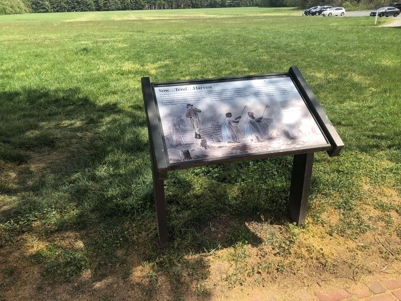
A 1798 painting of enslaved people working under the gaze of an overseer near Fredericksburg. This is the only known image of Fredericksburg-area slaves at work. They are clearing a field for cultivation.
Image Courtesy Maryland Historical Society
Erected by National Park Service, U.S. Department of the Interior.
Topics. This historical marker is listed in these topic lists: African Americans • Agriculture. A significant historical year for this entry is 1798.
Location. 38° 18.544′ N, 77° 27.302′ W. Marker is near Falmouth, Virginia, in Stafford County. Marker is on Chatham Drive, 0.2 miles north of Pratt Street, on the left when traveling north. Touch for map. Marker is at or near this postal address: 120 Chatham Ln, Fredericksburg VA 22405, United States of America. Touch for directions.
Other nearby markers. At least 8 other markers are within walking distance of this marker. A Changed Landscape (here, next to this marker); Beyond the Big House (within shouting distance of this marker); Chatham and the Civil War (within shouting distance of this marker); Chatham (within shouting distance of this marker); a different marker also named Chatham (within shouting distance of this marker); Fredericksburg and Spotsylvania National Military Park (within shouting distance of this marker); A “Picture of Desolation” (about 400 feet away, measured in a direct line); Bombardment (about 400 feet away). Touch for a list and map of all markers in Falmouth.
Related marker. Click here for another marker that is related to this marker. This marker has replaced the linked marker.
Additional keywords.
Credits. This page was last revised on November 14, 2021. It was originally submitted on April 12, 2020, by Devry Becker Jones of Washington, District of Columbia. This page has been viewed 162 times since then and 28 times this year. Photos: 1, 2. submitted on April 12, 2020, by Devry Becker Jones of Washington, District of Columbia.

